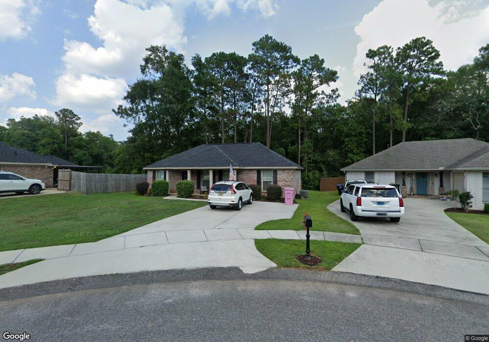
2193 Wolf Branch Dr S Unit 55 Mobile, AL 36608
Outer West Mobile NeighborhoodEstimated Value: $214,000 - $252,000
About This Home
This home is located at 2193 Wolf Branch Dr S Unit 55, Mobile, AL 36608 and is currently estimated at $233,552, approximately $184 per square foot. 2193 Wolf Branch Dr S Unit 55 is a home located in Mobile County with nearby schools including Taylor White Elementary School, Bernice J Causey Middle School, and Baker High School.
Ownership History
We collect this data history from publicly available records. To have your information removed, we recommend requesting removal directly through your county’s website.
Purchase Details
Home Financials for this Owner
Home Financials are based on the most recent Mortgage that was taken out on this home.Home Values in the Area
Average Home Value in this Area
Purchase History
We collect this data history from publicly available records. To have your information removed, we recommend requesting removal directly through your county’s website.
| Date | Buyer | Sale Price | Title Company |
|---|---|---|---|
| $225,000 | Delta South Title Inc |
Mortgage History
We collect this data history from publicly available records. To have your information removed, we recommend requesting removal directly through your county’s website.
| Date | Status | Borrower | Loan Amount |
|---|---|---|---|
| Open | $213,750 |
Tax History
We collect this data history from publicly available records. To have your information removed, we recommend requesting removal directly through your county’s website.
| Year | Tax Paid | Tax Assessment Tax Assessment Total Assessment is a certain percentage of the fair market value that is determined by local assessors to be the total taxable value of land and additions on the property. | Land | Improvement |
|---|---|---|---|---|
| 2025 | $959 | $19,720 | $4,000 | $15,720 |
| 2024 | $959 | $18,720 | $4,000 | $14,720 |
| 2023 | $911 | $16,660 | $3,600 | $13,060 |
| 2022 | $659 | $14,940 | $2,990 | $11,950 |
| 2021 | $568 | $13,100 | $2,600 | $10,500 |
| 2020 | $574 | $13,210 | $2,600 | $10,610 |
| 2019 | $561 | $12,940 | $0 | $0 |
| 2018 | $592 | $12,200 | $0 | $0 |
| 2017 | $313 | $5,000 | $0 | $0 |
| 2016 | $243 | $5,000 | $0 | $0 |
| 2013 | $301 | $6,200 | $0 | $0 |
Map
- 2202 Wolf Branch Dr S
- 2196 Wolf Branch Dr S
- 11900 Liberty Dr S
- 2201 Liberty Dr E
- 2191 Liberty Dr E
- 3137 Busby Rd
- 2975 Branson Ct E
- 1734 Trail Side Way
- 1716 Trail Side Way
- 1702 Trail Side Way
- 1761 Trail Side Way
- 1747 Trail Side Way
- 1711 Trail Side Way
- 00 Newman Rd
- 0 Newman Rd Unit 27499418
- 0 Newman Rd Unit 27501875
- 0 Newman Rd Unit 27500442
- 0 Newman Rd Unit 7559705
- 0 Newman Rd Unit 27500448
- 0 Newman Rd Unit 7559708
- 2193 Wolf Branch Dr S
- 2193 Wolf Branch Dr N
- 2185 Wolf Branch Dr S
- 2201 Wolf Branch Dr S Unit 56
- 2201 Wolf Branch Dr S
- 2201 Wolf Branch Dr N
- 2202 Wolf Branch Dr S Unit 59
- 2209 Wolf Branch Dr S Unit 57
- 2209 Wolf Branch Dr S
- 2196 Wolf Branch Dr N
- 2196 Wolf Branch Dr S Unit 60
- 2190 Wolf Branch Dr S Unit 61
- 2190 Wolf Branch Dr S
- 2181 Wolf Branch Dr N
- 2208 Wolf Branch Dr N
- 2208 Wolf Branch Dr S
- 2184 Wolf Branch Dr S
- 2176 Wolf Branch Dr N
- 2159 Wolf Branch Dr N Unit 84
- 2159 Wolf Branch Dr N
Ask me questions while you tour the home.