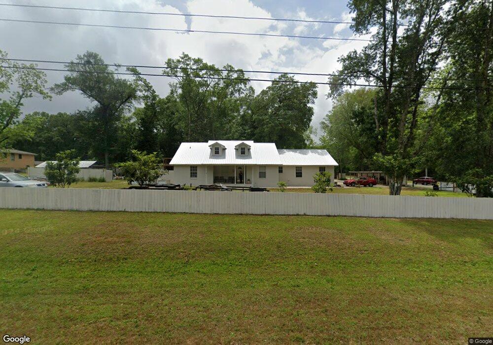
21990 Sedlack Rd Silverhill, AL 36576
Estimated Value: $298,000 - $400,000
3
Beds
1
Bath
2,000
Sq Ft
$170/Sq Ft
Est. Value
About This Home
This home is located at 21990 Sedlack Rd, Silverhill, AL 36576 and is currently estimated at $339,900, approximately $169 per square foot. 21990 Sedlack Rd is a home located in Baldwin County with nearby schools including Silverhill School, Central Baldwin Middle School, and Robertsdale High School.
Ownership History
Date
Name
Owned For
Owner Type
Purchase Details
Closed on
Aug 18, 2014
Sold by
Marcrum Joseph D and Marcrum Barbara G
Bought by
Smith Matthew T
Current Estimated Value
Home Financials for this Owner
Home Financials are based on the most recent Mortgage that was taken out on this home.
Original Mortgage
$112,917
Outstanding Balance
$87,023
Interest Rate
4.4%
Mortgage Type
FHA
Estimated Equity
$252,877
Create a Home Valuation Report for This Property
The Home Valuation Report is an in-depth analysis detailing your home's value as well as a comparison with similar homes in the area
Home Values in the Area
Average Home Value in this Area
Purchase History
| Date | Buyer | Sale Price | Title Company |
|---|---|---|---|
| Smith Matthew T | $115,000 | None Available |
Source: Public Records
Mortgage History
| Date | Status | Borrower | Loan Amount |
|---|---|---|---|
| Open | Smith Matthew T | $112,917 |
Source: Public Records
Tax History
| Year | Tax Paid | Tax Assessment Tax Assessment Total Assessment is a certain percentage of the fair market value that is determined by local assessors to be the total taxable value of land and additions on the property. | Land | Improvement |
|---|---|---|---|---|
| 2024 | $853 | $28,640 | $4,400 | $24,240 |
| 2023 | $788 | $26,860 | $3,280 | $23,580 |
| 2022 | $692 | $23,760 | $0 | $0 |
| 2021 | $545 | $21,220 | $0 | $0 |
| 2020 | $515 | $20,000 | $0 | $0 |
| 2019 | $467 | $18,280 | $0 | $0 |
| 2018 | $415 | $16,420 | $0 | $0 |
| 2017 | $380 | $15,180 | $0 | $0 |
| 2016 | $401 | $15,940 | $0 | $0 |
| 2015 | $416 | $29,660 | $0 | $0 |
| 2014 | $840 | $30,000 | $0 | $0 |
| 2013 | -- | $29,260 | $0 | $0 |
Source: Public Records
Map
Nearby Homes
- 21601 Westside Loop
- 21801 Sedlack Rd
- 15185 Alabama 104
- 0 Sedlack Rd Unit 10 362555
- 0 Sedlack Rd Unit 21 362553
- 0 Sedlack Rd Unit 7389816
- 22043 Garland Loop
- 14585 Arrowhead Ct
- 14589 Arrowhead Ct
- 14876 Arrowhead Ct
- 14827 Arrowhead Ct
- 14898 Arrowhead Ct
- 14910 Arrowhead Ct
- 14863 Arrowhead Ct
- 14778 Arrowhead Ct
- 14580 Arrowhead Ct
- 14875 Arrowhead Ct
- 14200 South Blvd
- 14590 Chenin Blanc Dr
- 14500 Chenin Blanc Dr
- 14570 State Highway 104
- 14475 State Highway 104
- 21916 Sedlack Rd
- 14461 State Highway 104
- 21840 Sedlack Rd
- 14461 Alabama 104
- 21946 Hwy 104 Westside Loop
- 14413 State Highway 104
- 14388 State Hwy
- 14397 State Highway 104
- 14397 Alabama 104
- 22175 Cain Rd
- 21818 Sedlack Rd
- Lot 28 Westside Loop
- 21858 Westside Loop
- 22051 Toler Rd
- 21815 Sedlack Rd
- 21889 Westside Loop
- 14365 State Highway 104
- 14365 State Highway 104
Your Personal Tour Guide
Ask me questions while you tour the home.