22 Burnside Ave Congers, NY 10920
Estimated Value: $615,000 - $864,707
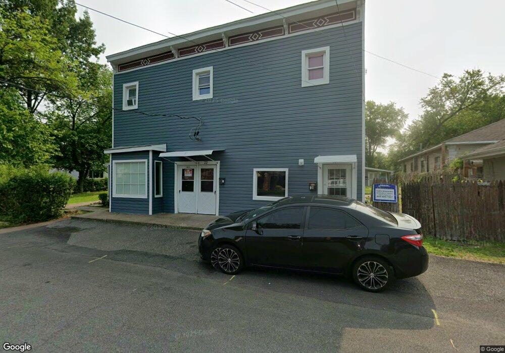
About This Home
This home is located at 22 Burnside Ave, Congers, NY 10920 and is currently estimated at $739,854, approximately $197 per square foot. 22 Burnside Ave is a home located in Rockland County with nearby schools including Lakewood Elementary School, Felix Festa Middle School, and Clarkstown North Senior High School.
Ownership History
We collect this data history from publicly available records. To have your information removed, we recommend requesting removal directly through your county’s website.
Purchase Details
Home Financials for this Owner
Home Financials are based on the most recent Mortgage that was taken out on this home.Purchase Details
Purchase Details
Home Values in the Area
Average Home Value in this Area
Purchase History
We collect this data history from publicly available records. To have your information removed, we recommend requesting removal directly through your county’s website.
| Date | Buyer | Sale Price | Title Company |
|---|---|---|---|
| $420,000 | None Available | ||
| $118,125 | National Granite Title Insur | ||
| $75,000 | -- |
Mortgage History
We collect this data history from publicly available records. To have your information removed, we recommend requesting removal directly through your county’s website.
| Date | Status | Borrower | Loan Amount |
|---|---|---|---|
| Open | $275,000 |
Tax History
We collect this data history from publicly available records. To have your information removed, we recommend requesting removal directly through your county’s website.
| Year | Tax Paid | Tax Assessment Tax Assessment Total Assessment is a certain percentage of the fair market value that is determined by local assessors to be the total taxable value of land and additions on the property. | Land | Improvement |
|---|---|---|---|---|
| 2024 | $15,192 | $85,300 | $27,300 | $58,000 |
| 2023 | $15,192 | $85,300 | $27,300 | $58,000 |
| 2022 | $12,668 | $85,300 | $27,300 | $58,000 |
| 2021 | $12,668 | $85,300 | $27,300 | $58,000 |
| 2020 | $14,505 | $85,300 | $27,300 | $58,000 |
| 2019 | $14,425 | $85,300 | $27,300 | $58,000 |
| 2018 | $14,425 | $85,300 | $27,300 | $58,000 |
| 2017 | $14,214 | $85,300 | $27,300 | $58,000 |
| 2016 | $13,161 | $78,100 | $27,300 | $50,800 |
| 2015 | -- | $78,100 | $27,300 | $50,800 |
| 2014 | -- | $78,100 | $27,300 | $50,800 |
Map
- 11 Whitman St
- 16 Lamborn Ave
- 65-69 N Grant Ave
- 1 Sherwood Rd
- 33 Farmhouse Rd
- 126 N Route 303 Unit 2
- 22 New York Ave
- 6 Old Lake Rd Unit 6
- 55 Stonewall Ln
- 938 S Route 9w
- 160 S Conger Ave
- 113 S Route 303
- 144 Old Haverstraw Rd
- 10 Wesley Ct
- 18 Ridge Rd
- 14 Central Ave
- 17 Quaspeak Rd
- 16 Roman Terrace
- 83 Gilchrest Rd
- 227 S Harrison Ave
- 44 Lake Rd
- 42 Lake Rd
- 44-46 Lake Rd
- 44 Lake Rd
- 10 Burnside Apt E
- 5 Sheridan Ave
- 10 Burnside Ave Unit B
- 10 Burnside Ave Unit A
- 10 Burnside Ave Unit F
- 10 Burnside Ave Unit E
- 10 Burnside Ave Unit D
- 47 Lake Rd
- 11 Sheridan Ave
- 49 Lake Rd
- 22 Burnside Ave Unit B
- 22 Burnside Ave Unit C
- 6 Sheridan Ave
- 15 Sheridan Ave Unit 1
- 15 Sheridan Ave
- 9 Whitman St
Ask me questions while you tour the home.