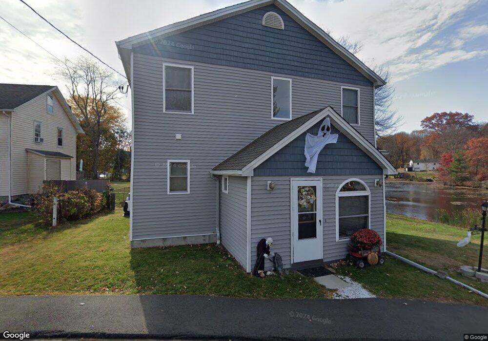
22 Cedar Point Rd Wolcott, CT 06716
Estimated Value: $377,226 - $571,000
1
Bed
1
Bath
1,928
Sq Ft
$247/Sq Ft
Est. Value
About This Home
This home is located at 22 Cedar Point Rd, Wolcott, CT 06716 and is currently estimated at $476,807, approximately $247 per square foot. 22 Cedar Point Rd is a home located in New Haven County with nearby schools including Tyrrell Middle School, Wolcott High School, and Immanuel Lutheran School.
Ownership History
Date
Name
Owned For
Owner Type
Purchase Details
Closed on
Oct 28, 2014
Sold by
Belisle Christopher
Bought by
Belisle Christopher and Belisle Jennifer
Current Estimated Value
Home Financials for this Owner
Home Financials are based on the most recent Mortgage that was taken out on this home.
Original Mortgage
$195,000
Outstanding Balance
$152,238
Interest Rate
4.1%
Estimated Equity
$324,569
Purchase Details
Closed on
Jul 2, 1993
Sold by
Belisle Marguerite M
Bought by
Belisle Christopher J
Home Financials for this Owner
Home Financials are based on the most recent Mortgage that was taken out on this home.
Original Mortgage
$80,300
Interest Rate
2%
Mortgage Type
Unknown
Create a Home Valuation Report for This Property
The Home Valuation Report is an in-depth analysis detailing your home's value as well as a comparison with similar homes in the area
Home Values in the Area
Average Home Value in this Area
Purchase History
| Date | Buyer | Sale Price | Title Company |
|---|---|---|---|
| Belisle Christopher | -- | -- | |
| Belisle Christopher J | $80,000 | -- |
Source: Public Records
Mortgage History
| Date | Status | Borrower | Loan Amount |
|---|---|---|---|
| Open | Belisle Christopher | $195,000 | |
| Previous Owner | Belisle Christopher J | $90,000 | |
| Previous Owner | Belisle Christopher J | $80,300 |
Source: Public Records
Tax History
| Year | Tax Paid | Tax Assessment Tax Assessment Total Assessment is a certain percentage of the fair market value that is determined by local assessors to be the total taxable value of land and additions on the property. | Land | Improvement |
|---|---|---|---|---|
| 2025 | $7,396 | $205,850 | $35,190 | $170,660 |
| 2024 | $6,807 | $205,850 | $35,190 | $170,660 |
| 2023 | $6,560 | $205,850 | $35,190 | $170,660 |
| 2022 | $6,340 | $205,850 | $35,190 | $170,660 |
| 2021 | $5,394 | $162,770 | $31,430 | $131,340 |
| 2020 | $5,394 | $162,770 | $31,430 | $131,340 |
| 2019 | $5,394 | $162,770 | $31,430 | $131,340 |
| 2018 | $5,241 | $162,770 | $31,430 | $131,340 |
| 2017 | $5,090 | $162,770 | $31,430 | $131,340 |
| 2016 | $6,256 | $216,400 | $85,480 | $130,920 |
| 2015 | $2,544 | $90,600 | $85,480 | $5,120 |
| 2014 | $3,855 | $141,870 | $85,480 | $56,390 |
Source: Public Records
Map
Nearby Homes
- 22 North St
- 68 Doris Rd
- 30 Cove Rd
- 140 Corbin Ridge
- 171 Indian Trail
- 120 Tyler Way
- 47 Fall Mountain Terrace
- 145 Corbin Ridge
- 13 Overlook Terrace
- 22 Overlook Terrace
- 272 Old Orchard Rd
- 13 Club Ln
- 1259 Wolcott Rd
- 101 Turtlebrook Ln Unit 101
- 1 Frankie Ln
- 489 Wolcott St Unit 85
- 489 Wolcott St Unit 25
- 23 August Ave
- 16 Tuscarora Place
- 353 Allentown Rd
- 26 Cedar Point Rd
- 23 Cedar Point Rd
- 19 Cedar Point Rd
- 33 Cedar Point Rd
- 24 Cedar Point Rd
- 28 Cedar Point Rd
- 32 Cedar Point Rd
- 29 Cedar Point Rd
- 34 Cedar Point Rd
- 26 Edgewater Dr
- 20 Edgewater Dr
- 20 Edgewater Dr
- 30 Edgewater Dr
- 1390 Spindle Hill Rd
- 1378 Spindle Hill Rd
- 1368 Spindle Hill Rd
- 1362 Spindle Hill Rd
- 44 Cedar Point Rd
- 23 Edgewater Rd
- 30 Cedar Point Rd
Your Personal Tour Guide
Ask me questions while you tour the home.