22 Conservation Way Stoughton, MA 02072
Estimated Value: $622,626 - $674,000
2
Beds
3
Baths
2,150
Sq Ft
$298/Sq Ft
Est. Value
About This Home
This home is located at 22 Conservation Way, Stoughton, MA 02072 and is currently estimated at $640,657, approximately $297 per square foot. 22 Conservation Way is a home located in Norfolk County with nearby schools including Joseph H. Gibbons Elementary School, O'Donnell Middle School, and Stoughton High School.
Ownership History
Date
Name
Owned For
Owner Type
Purchase Details
Closed on
Jul 17, 2019
Sold by
Tarr Roy P and Tarr Deborah A
Bought by
Brauner Bernard M and Brauner Susan L
Current Estimated Value
Purchase Details
Closed on
Mar 27, 2009
Sold by
Village At Ames Pond L
Bought by
Tarr Roy P and Biagiotti Deborah A
Home Financials for this Owner
Home Financials are based on the most recent Mortgage that was taken out on this home.
Original Mortgage
$341,910
Interest Rate
5.14%
Mortgage Type
Purchase Money Mortgage
Create a Home Valuation Report for This Property
The Home Valuation Report is an in-depth analysis detailing your home's value as well as a comparison with similar homes in the area
Home Values in the Area
Average Home Value in this Area
Purchase History
| Date | Buyer | Sale Price | Title Company |
|---|---|---|---|
| Brauner Bernard M | $485,000 | -- | |
| Tarr Roy P | $379,900 | -- |
Source: Public Records
Mortgage History
| Date | Status | Borrower | Loan Amount |
|---|---|---|---|
| Previous Owner | Tarr Roy P | $341,910 |
Source: Public Records
Tax History
| Year | Tax Paid | Tax Assessment Tax Assessment Total Assessment is a certain percentage of the fair market value that is determined by local assessors to be the total taxable value of land and additions on the property. | Land | Improvement |
|---|---|---|---|---|
| 2025 | $7,075 | $571,500 | $0 | $571,500 |
| 2024 | $6,970 | $547,500 | $0 | $547,500 |
| 2023 | $6,893 | $508,700 | $0 | $508,700 |
| 2022 | $6,453 | $447,800 | $0 | $447,800 |
| 2021 | $6,667 | $441,500 | $0 | $441,500 |
| 2020 | $6,675 | $448,300 | $0 | $448,300 |
| 2019 | $6,707 | $437,200 | $0 | $437,200 |
| 2018 | $6,168 | $416,500 | $0 | $416,500 |
| 2017 | $5,056 | $348,900 | $0 | $348,900 |
| 2016 | $5,202 | $347,500 | $0 | $347,500 |
| 2015 | $4,799 | $317,200 | $0 | $317,200 |
| 2014 | $5,334 | $338,900 | $0 | $338,900 |
Source: Public Records
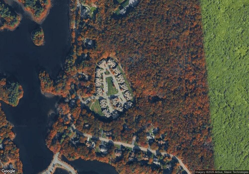
Map
Nearby Homes
- 21 Conservation Way
- 20 Conservation Way
- 19 Conservation Way
- 18 Conservation Way
- 20 Conservation Way Unit 20
- 25 Conservation Way
- 24 Conservation Way
- 23 Conservation Way
- 25 Conservation Way Unit 25
- 25 Conservation Way Unit 18
- 32 Conservation Way
- 31 Conservation Way
- 16 Conservation Way
- 28 Conservation Way
- 27 Conservation Way
- 26 Conservation Way
- 30 Conservation Way
- 29 Conservation Way
- 29 Conservation Way Unit 29
- 3 Conservation Way
Your Personal Tour Guide
Ask me questions while you tour the home.