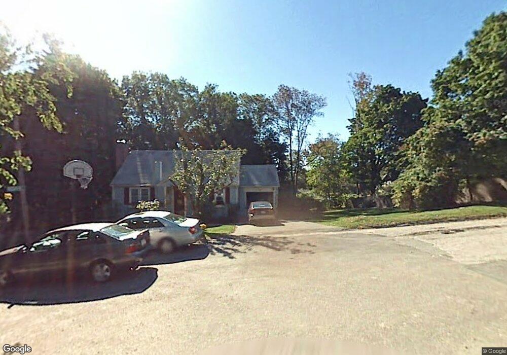
22 Darling St Worcester, MA 01605
North Lincoln Street NeighborhoodEstimated Value: $504,000 - $555,000
4
Beds
1
Bath
1,824
Sq Ft
$289/Sq Ft
Est. Value
About This Home
This home is located at 22 Darling St, Worcester, MA 01605 and is currently estimated at $527,543, approximately $289 per square foot. 22 Darling St is a home located in Worcester County with nearby schools including Jacob Hiatt Magnet School, Chandler Magnet, and Thorndyke Road School.
Create a Home Valuation Report for This Property
The Home Valuation Report is an in-depth analysis detailing your home's value as well as a comparison with similar homes in the area
Home Values in the Area
Average Home Value in this Area
Tax History
| Year | Tax Paid | Tax Assessment Tax Assessment Total Assessment is a certain percentage of the fair market value that is determined by local assessors to be the total taxable value of land and additions on the property. | Land | Improvement |
|---|---|---|---|---|
| 2025 | $6,261 | $474,700 | $167,400 | $307,300 |
| 2024 | $6,159 | $447,900 | $167,400 | $280,500 |
| 2023 | $5,882 | $410,200 | $145,500 | $264,700 |
| 2022 | $5,363 | $352,600 | $116,300 | $236,300 |
| 2021 | $5,218 | $320,500 | $93,100 | $227,400 |
| 2020 | $4,636 | $272,700 | $66,100 | $206,600 |
| 2019 | $4,408 | $244,900 | $59,600 | $185,300 |
| 2018 | $4,414 | $233,400 | $59,600 | $173,800 |
| 2017 | $4,209 | $219,000 | $59,600 | $159,400 |
| 2016 | $4,188 | $203,200 | $43,800 | $159,400 |
| 2015 | $4,078 | $203,200 | $43,800 | $159,400 |
| 2014 | $3,971 | $203,200 | $43,800 | $159,400 |
Source: Public Records
Map
Nearby Homes
- 223 Beverly Rd
- 45 Bay State Rd
- 39 Bullard Ave
- 3 Wallace St
- 19 Calumet Ave
- 25 Kenwood Ave
- 70 Trinity Ave
- 16 Bay State Rd
- 34 Oran St
- 31 Barnard Rd
- 85 Kalmar St
- 79 Humes Ave
- 2 Jeppson Ave
- 336 Burncoat St
- 655 Plantation St Unit 23B
- 35 Summerhill Ave
- 78 Leeds St
- 40 Duxbury Rd
- 19 Denmark St
- 28 Greendale Ave
Your Personal Tour Guide
Ask me questions while you tour the home.