22 Donovan Rd Round Pond, ME 04564
Estimated Value: $682,000 - $1,616,000
Studio
--
Bath
--
Sq Ft
0.82
Acres Lot
About This Home
This home is located at 22 Donovan Rd, Round Pond, ME 04564 and is currently estimated at $1,182,342. 22 Donovan Rd is a home with nearby schools including Bristol Consolidated School.
Ownership History
Date
Name
Owned For
Owner Type
Purchase Details
Closed on
Dec 19, 2012
Sold by
Murphy Michael T
Bought by
Soucie Wanda J
Current Estimated Value
Create a Home Valuation Report for This Property
The Home Valuation Report is an in-depth analysis detailing your home's value as well as a comparison with similar homes in the area
Home Values in the Area
Average Home Value in this Area
Purchase History
| Date | Buyer | Sale Price | Title Company |
|---|---|---|---|
| Soucie Wanda J | -- | -- |
Source: Public Records
Tax History
| Year | Tax Paid | Tax Assessment Tax Assessment Total Assessment is a certain percentage of the fair market value that is determined by local assessors to be the total taxable value of land and additions on the property. | Land | Improvement |
|---|---|---|---|---|
| 2025 | $8,693 | $915,000 | $521,300 | $393,700 |
| 2024 | $8,144 | $915,000 | $521,300 | $393,700 |
| 2023 | $7,274 | $915,000 | $521,300 | $393,700 |
| 2022 | $6,588 | $915,000 | $521,300 | $393,700 |
| 2021 | $6,588 | $915,000 | $521,300 | $393,700 |
| 2020 | $6,634 | $915,000 | $521,300 | $393,700 |
| 2019 | $6,176 | $915,000 | $521,300 | $393,700 |
| 2018 | $5,719 | $915,000 | $521,300 | $393,700 |
| 2017 | $5,719 | $915,000 | $521,300 | $393,700 |
| 2016 | $5,465 | $691,800 | $443,900 | $247,900 |
| 2015 | $5,846 | $691,800 | $443,900 | $247,900 |
| 2014 | $5,465 | $691,800 | $443,900 | $247,900 |
| 2013 | $5,327 | $691,800 | $443,900 | $247,900 |
Source: Public Records
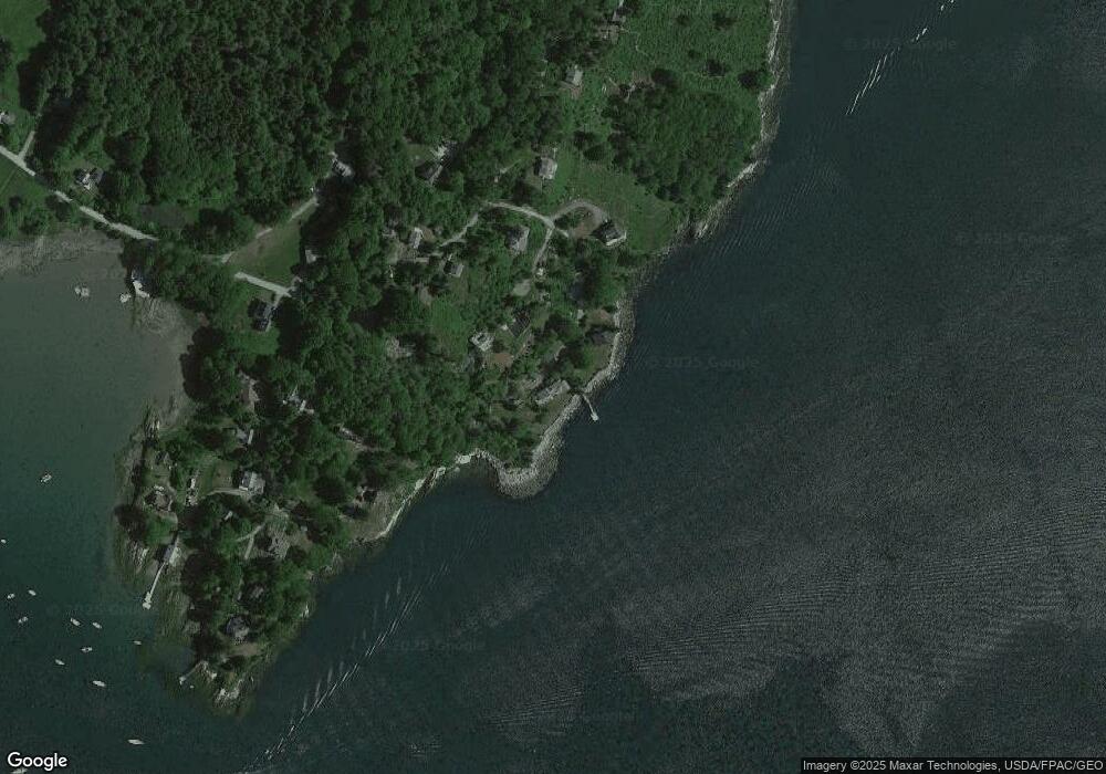
Map
Nearby Homes
- 0 Northern Point Rd
- 153 Back Shore Rd
- 5 Southern Point Rd
- 072-C Maine 32
- 31 Viking Way
- Lot 009 Reny Rd
- 31 Hidden Ln
- 215 Rock School House Rd
- 17 Eastwood Ct
- Lot 068002 Shore Rd
- Lot 068003 Shore Rd
- 9 Bearces Hill Rd
- 59 Greenland Cove Rd
- Lot 149 Bristol Rd
- 033-1 Bristol Rd
- M4L93 Keene's Island
- 433 Fogler Rd
- 1443 Bristol & Tbd Split Rock Rd
- 003-D Lakeview Dr
- M10L40E4 Christian Hill Rd
- 3 Donovan Rd
- 21 Quarry Hill Rd
- 8 Donovan Rd
- 0 Donovan Rd Unit 663511
- 0 Donovan Rd Unit 898990
- 0 Donovan Ln Unit 969016
- 70 Northern Point Rd
- 70 No Name Rd
- 2 Quarry Hill Rd
- 53 No Name Rd
- 48 Northern Point Rd
- 48 Northern Point Rd
- 53 Northern Point Rd
- 48 Northern Point Rd
- 65 Northern Point Rd
- 41 Quarry Hill Rd
- 73 No Name Rd
- 88 Northern Pt Rd
- 8 Breezy Point Rd
- 30 Northern Point Rd
Your Personal Tour Guide
Ask me questions while you tour the home.