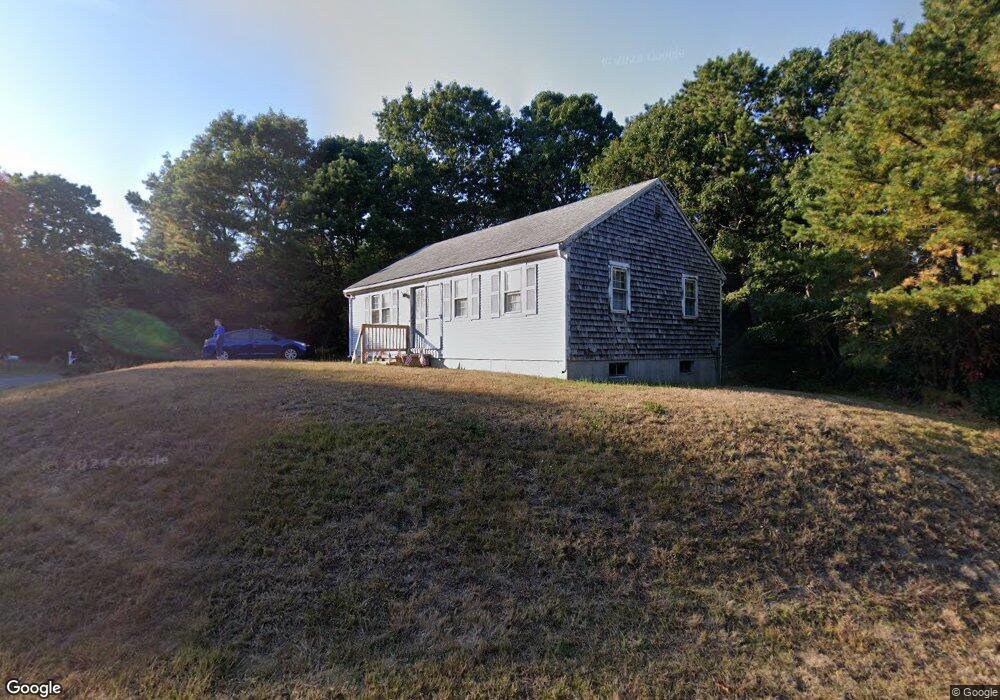
22 Manamok Cir Sandwich, MA 02563
Estimated Value: $481,591 - $610,000
2
Beds
1
Bath
912
Sq Ft
$596/Sq Ft
Est. Value
About This Home
This home is located at 22 Manamok Cir, Sandwich, MA 02563 and is currently estimated at $543,148, approximately $595 per square foot. 22 Manamok Cir is a home located in Barnstable County with nearby schools including Sandwich Middle High School and Sandwich Montessori School.
Ownership History
Date
Name
Owned For
Owner Type
Purchase Details
Closed on
Jul 30, 1993
Sold by
Barnstable Holding Co
Bought by
Walsh William F and Walsh Ellen P
Current Estimated Value
Home Financials for this Owner
Home Financials are based on the most recent Mortgage that was taken out on this home.
Original Mortgage
$80,600
Interest Rate
7.32%
Mortgage Type
Purchase Money Mortgage
Create a Home Valuation Report for This Property
The Home Valuation Report is an in-depth analysis detailing your home's value as well as a comparison with similar homes in the area
Purchase History
| Date | Buyer | Sale Price | Title Company |
|---|---|---|---|
| Walsh William F | $84,900 | -- |
Source: Public Records
Mortgage History
| Date | Status | Borrower | Loan Amount |
|---|---|---|---|
| Closed | Walsh William F | $80,600 |
Source: Public Records
Tax History
| Year | Tax Paid | Tax Assessment Tax Assessment Total Assessment is a certain percentage of the fair market value that is determined by local assessors to be the total taxable value of land and additions on the property. | Land | Improvement |
|---|---|---|---|---|
| 2025 | $4,047 | $382,900 | $169,700 | $213,200 |
| 2024 | $3,839 | $355,500 | $151,600 | $203,900 |
| 2023 | $3,716 | $323,100 | $137,800 | $185,300 |
| 2022 | $3,637 | $276,400 | $123,000 | $153,400 |
| 2021 | $3,482 | $252,900 | $118,300 | $134,600 |
| 2020 | $3,503 | $244,800 | $115,500 | $129,300 |
| 2019 | $3,123 | $218,100 | $98,600 | $119,500 |
| 2018 | $2,969 | $207,800 | $95,200 | $112,600 |
| 2017 | $2,946 | $197,300 | $92,200 | $105,100 |
| 2016 | $2,820 | $194,900 | $91,300 | $103,600 |
| 2015 | $2,725 | $183,900 | $82,200 | $101,700 |
Source: Public Records
Map
Nearby Homes
- 58 Southpoint Dr Unit J
- 24 Widow Coombs Walk
- 39 John Ewer Rd
- 113 Farmersville Rd
- 93 Deerfield Rd
- 111 Reflection Dr
- 5 Widow Coombs Walk
- 28 Spinnaker St
- 185 Cotuit Rd Unit HL15
- 185 Cotuit Rd Unit JP1
- 185 Cotuit Rd Unit C5 Aspen
- 2 Open Space Dr
- 544 Cotuit Rd
- 10 Wintergreen Ln
- 114 Long Pond Rd
- 204 Farmersville Rd
- 7 Hunter's Trail
- 35 Santuit Pond Way Unit 5C
- 35 Santuit Pond Way Unit 5C
- 113 Scituate Rd
Your Personal Tour Guide
Ask me questions while you tour the home.