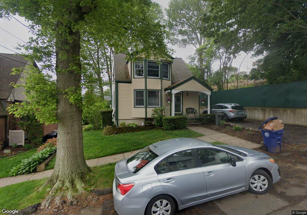
22 Maple Rd West Haven, CT 06516
West Shore NeighborhoodEstimated Value: $378,588 - $419,000
2
Beds
2
Baths
1,159
Sq Ft
$337/Sq Ft
Est. Value
About This Home
This home is located at 22 Maple Rd, West Haven, CT 06516 and is currently estimated at $391,147, approximately $337 per square foot. 22 Maple Rd is a home located in New Haven County with nearby schools including Carrigan 5/6 Intermediate School, Harry M. Bailey Middle School, and West Haven High School.
Ownership History
Date
Name
Owned For
Owner Type
Purchase Details
Closed on
Nov 12, 2015
Sold by
Coral Michele
Bought by
Coral Michele
Current Estimated Value
Purchase Details
Closed on
Jun 8, 2005
Sold by
Defrancesco Edward A and Defrancesco Linda L
Bought by
Coral Michele
Purchase Details
Closed on
Mar 4, 2002
Sold by
Hotchkiss Paul W
Bought by
Defrancesco Edward A and Defrancesco Linda L
Create a Home Valuation Report for This Property
The Home Valuation Report is an in-depth analysis detailing your home's value as well as a comparison with similar homes in the area
Home Values in the Area
Average Home Value in this Area
Purchase History
| Date | Buyer | Sale Price | Title Company |
|---|---|---|---|
| Coral Michele | -- | -- | |
| Coral Michele | $297,000 | -- | |
| Defrancesco Edward A | $160,000 | -- | |
| Coral Michele | -- | -- | |
| Coral Michele | $297,000 | -- | |
| Defrancesco Edward A | $160,000 | -- |
Source: Public Records
Mortgage History
| Date | Status | Borrower | Loan Amount |
|---|---|---|---|
| Open | Defrancesco Edward A | $30,000 | |
| Previous Owner | Defrancesco Edward A | $159,000 |
Source: Public Records
Tax History
| Year | Tax Paid | Tax Assessment Tax Assessment Total Assessment is a certain percentage of the fair market value that is determined by local assessors to be the total taxable value of land and additions on the property. | Land | Improvement |
|---|---|---|---|---|
| 2025 | $8,516 | $259,070 | $107,240 | $151,830 |
| 2024 | $7,479 | $159,600 | $74,270 | $85,330 |
| 2023 | $7,198 | $159,600 | $74,270 | $85,330 |
| 2022 | $7,069 | $159,600 | $74,270 | $85,330 |
| 2021 | $7,069 | $159,600 | $74,270 | $85,330 |
| 2020 | $6,952 | $143,010 | $67,690 | $75,320 |
| 2019 | $6,730 | $143,010 | $67,690 | $75,320 |
| 2018 | $6,634 | $143,010 | $67,690 | $75,320 |
| 2017 | $6,455 | $143,010 | $67,690 | $75,320 |
| 2016 | $6,384 | $143,010 | $67,690 | $75,320 |
| 2015 | $6,306 | $158,130 | $75,530 | $82,600 |
| 2014 | $6,306 | $158,130 | $75,530 | $82,600 |
Source: Public Records
Map
Nearby Homes
- 206 Highland Ave
- 41 Grove Place
- 45 Arlington St
- 920 Ocean Ave Unit E1
- 99 Roosevelt Ave
- 118 Arlington St
- 74 Wilson Ave
- 18 Albion Ave
- 19 Harding Ave
- 22 Parker Ave
- 49 Seaview Ave
- 461R Ocean Ave
- 16 Sorensen Rd
- 330 Savin Ave Unit 76
- 330 Savin Ave Unit 18
- 110 Bellevue Ave
- 32 West Walk
- 292 Richmond Ave
- 430 Blohm St
- 6 Mount Pleasant Rd
Your Personal Tour Guide
Ask me questions while you tour the home.