22 Partridge Brook Cir Marshfield, MA 02050
Estimated Value: $1,191,000 - $1,535,000
4
Beds
4
Baths
3,054
Sq Ft
$445/Sq Ft
Est. Value
About This Home
This home is located at 22 Partridge Brook Cir, Marshfield, MA 02050 and is currently estimated at $1,360,457, approximately $445 per square foot. 22 Partridge Brook Cir is a home located in Plymouth County with nearby schools including South River, Furnace Brook Middle School, and Marshfield High School.
Ownership History
Date
Name
Owned For
Owner Type
Purchase Details
Closed on
Nov 9, 2022
Sold by
Power Sean and Power Johanna
Bought by
Power Johanna
Current Estimated Value
Purchase Details
Closed on
Jun 10, 2005
Sold by
Pj Collins Rt and Collins Peter J
Bought by
Power Sean and Power Johanna
Home Financials for this Owner
Home Financials are based on the most recent Mortgage that was taken out on this home.
Original Mortgage
$650,000
Interest Rate
5.79%
Mortgage Type
Purchase Money Mortgage
Create a Home Valuation Report for This Property
The Home Valuation Report is an in-depth analysis detailing your home's value as well as a comparison with similar homes in the area
Home Values in the Area
Average Home Value in this Area
Purchase History
| Date | Buyer | Sale Price | Title Company |
|---|---|---|---|
| Power Johanna | -- | None Available | |
| Power Sean | $818,500 | -- |
Source: Public Records
Mortgage History
| Date | Status | Borrower | Loan Amount |
|---|---|---|---|
| Previous Owner | Power Sean | $650,000 |
Source: Public Records
Tax History
| Year | Tax Paid | Tax Assessment Tax Assessment Total Assessment is a certain percentage of the fair market value that is determined by local assessors to be the total taxable value of land and additions on the property. | Land | Improvement |
|---|---|---|---|---|
| 2025 | $13,183 | $1,331,600 | $331,300 | $1,000,300 |
| 2024 | $12,787 | $1,230,700 | $316,000 | $914,700 |
| 2023 | $12,504 | $1,104,600 | $293,300 | $811,300 |
| 2022 | $12,651 | $976,900 | $259,800 | $717,100 |
| 2021 | $12,116 | $918,600 | $259,800 | $658,800 |
| 2020 | $11,760 | $882,200 | $238,000 | $644,200 |
| 2019 | $11,414 | $853,100 | $238,000 | $615,100 |
| 2018 | $11,276 | $843,400 | $238,000 | $605,400 |
| 2017 | $11,152 | $812,800 | $238,000 | $574,800 |
| 2016 | $10,875 | $783,500 | $238,000 | $545,500 |
| 2015 | $10,282 | $773,700 | $238,000 | $535,700 |
| 2014 | $10,292 | $774,400 | $238,000 | $536,400 |
Source: Public Records
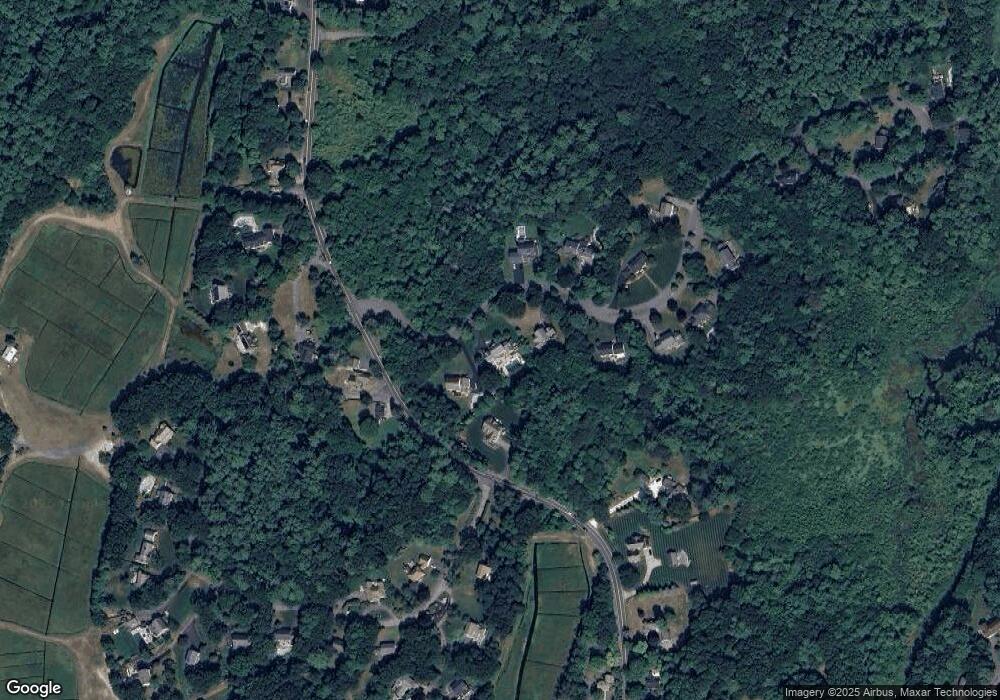
Map
Nearby Homes
- 45 Red Gold Farm Rd
- 1 Old Pilgrim Trail
- 184 King Phillips Pathe
- 66 Simmons Dr
- 51 Meetinghouse Ln
- 412 Moraine St
- 95 Blackmount Dr
- 555 Webster St
- 10 S Pasture Ln
- 713 Webster St
- 4 Fresh Brook Waye
- 130 Winslow Cemetery Rd
- 550 West St
- 585 Careswell St
- 152 Acorn St
- 757 West St
- 6 Maple Ln
- Two Railroad Ave Unit 11
- 26 Bowsprit Ln
- 238 Atwell Cir
- 36 Partridge Brook Cir
- 10 Partridge Brook Cir
- 44 Moraine St
- 41 Partridge Brook Cir
- 54 Partridge Brook Cir
- 201 Moraine St
- 67 Partridge Brook Cir
- 246 Enterprise St
- 89 Partridge Brook Cir
- 18 Screenhouse Ln
- 19 Screenhouse Ln
- 66 Partridge Brook Cir
- 14 Screenhouse Ln Unit Lot 12
- 5 Sprague Farm Rd
- 16 Screenhouse Ln Unit Lot 13
- 78 Partridge Brook Cir
- 115 Partridge Brook Cir
- 24 Screenhouse Ln Unit Lot 15
- 28 Screenhouse Ln Unit Lot 16
- 10 Screenhouse Ln
Your Personal Tour Guide
Ask me questions while you tour the home.