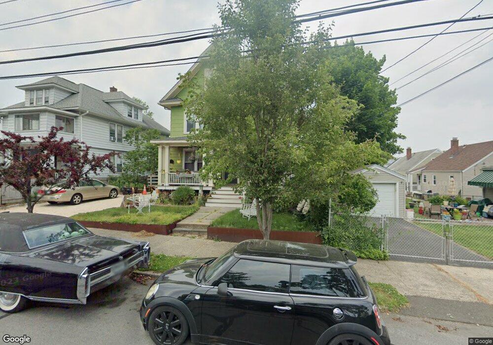
22 Prescott St Bridgeport, CT 06605
Black Rock NeighborhoodEstimated Value: $484,139 - $674,000
4
Beds
2
Baths
2,740
Sq Ft
$215/Sq Ft
Est. Value
About This Home
This home is located at 22 Prescott St, Bridgeport, CT 06605 and is currently estimated at $587,785, approximately $214 per square foot. 22 Prescott St is a home located in Fairfield County with nearby schools including Bassick High School, Park City Prep Charter School, and Catholic Academy of Bridgeport-St. Ann Academy.
Ownership History
Date
Name
Owned For
Owner Type
Purchase Details
Closed on
Jun 2, 2014
Sold by
Schroder Gregory
Bought by
Figlar John
Current Estimated Value
Create a Home Valuation Report for This Property
The Home Valuation Report is an in-depth analysis detailing your home's value as well as a comparison with similar homes in the area
Home Values in the Area
Average Home Value in this Area
Purchase History
We collect this data history from publicly available records. To have your information removed, we recommend requesting removal directly through your county’s website.
| Date | Buyer | Sale Price | Title Company |
|---|---|---|---|
| Figlar John | $150,000 | -- | |
| Schroder Gregory | -- | -- | |
| Schroder Gregory | -- | -- | |
| Atfh Real Property Llc | -- | -- | |
| Figlar John | $150,000 | -- |
Source: Public Records
Tax History
| Year | Tax Paid | Tax Assessment Tax Assessment Total Assessment is a certain percentage of the fair market value that is determined by local assessors to be the total taxable value of land and additions on the property. | Land | Improvement |
|---|---|---|---|---|
| 2025 | $8,236 | $189,540 | $77,910 | $111,630 |
| 2024 | $8,236 | $189,540 | $77,910 | $111,630 |
| 2023 | $8,236 | $189,540 | $77,910 | $111,630 |
| 2022 | $8,236 | $189,540 | $77,910 | $111,630 |
| 2021 | $8,236 | $189,540 | $77,910 | $111,630 |
| 2020 | $8,338 | $154,430 | $62,940 | $91,490 |
| 2019 | $8,338 | $154,430 | $62,940 | $91,490 |
| 2018 | $8,396 | $154,430 | $62,940 | $91,490 |
| 2017 | $8,396 | $154,430 | $62,940 | $91,490 |
| 2016 | $8,396 | $154,430 | $62,940 | $91,490 |
| 2015 | $7,008 | $166,060 | $40,460 | $125,600 |
| 2014 | $7,008 | $166,060 | $40,460 | $125,600 |
Source: Public Records
Map
Nearby Homes
- 78 Rowsley St Unit 4
- 188 Monroe St Unit 190
- 37 Bartram Ave
- 27 Nash Ln Unit 5
- 78 Haddon St Unit 1
- 25 Ellsworth St Unit 17
- 80 Bywater Ln
- 148 Alfred St
- 8-10 Jetland Place
- 132 Bennett St Unit 302
- 855 Brewster St Unit 857
- 219 Orland St Unit 221
- 165 Bennett St
- 97 Fayerweather Terrace
- 350 Grovers Ave Unit 10A
- 3250 Fairfield Ave Unit 206
- 118 Berwick Ave
- 130 Brentwood Ave
- 50 Stone Ridge Way Unit 2A
- 245 Sailors Ln
- 32 Prescott St
- 34 Prescott St Unit 1
- 149 Harbor Ave
- 165 Harbor Ave
- 25 Thurston St
- 42 Prescott St
- 173 Harbor Ave
- 35 Thurston St
- 45 Thurston St
- 183 Harbor Ave
- 135 Harbor Ave
- 54 Prescott St
- 31 Prescott St
- 41 Prescott St
- 125 Harbor Ave
- 125 Harbor Ave Unit 1
- 62 Prescott St
- 188 Harbor Ave Unit 190
- 51 Prescott St
- 170 Harbor Ave
Your Personal Tour Guide
Ask me questions while you tour the home.