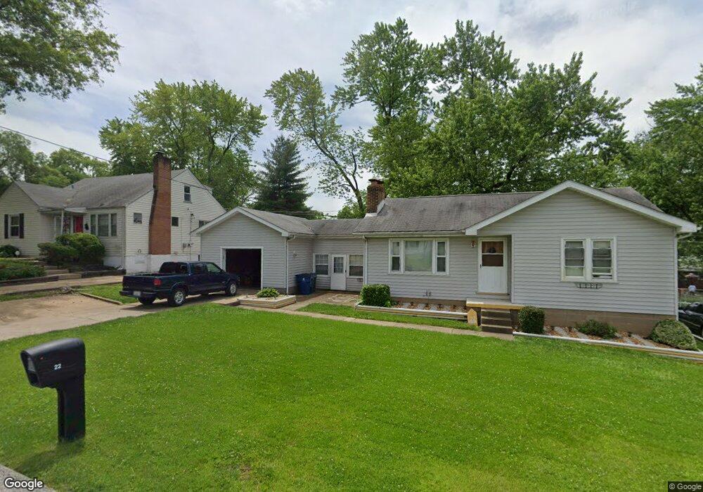
22 Reasor Dr Saint Louis, MO 63135
Estimated Value: $81,000 - $112,000
2
Beds
1
Bath
861
Sq Ft
$111/Sq Ft
Est. Value
About This Home
This home is located at 22 Reasor Dr, Saint Louis, MO 63135 and is currently estimated at $95,780, approximately $111 per square foot. 22 Reasor Dr is a home located in St. Louis County with nearby schools including Walnut Grove Elementary School, Ferguson Middle School, and McCluer High School.
Ownership History
Date
Name
Owned For
Owner Type
Purchase Details
Closed on
Nov 23, 2001
Sold by
Hart Dale L and Hart Rebecca K
Bought by
Hart Dale L
Current Estimated Value
Home Financials for this Owner
Home Financials are based on the most recent Mortgage that was taken out on this home.
Original Mortgage
$47,052
Interest Rate
6.73%
Mortgage Type
FHA
Create a Home Valuation Report for This Property
The Home Valuation Report is an in-depth analysis detailing your home's value as well as a comparison with similar homes in the area
Home Values in the Area
Average Home Value in this Area
Purchase History
| Date | Buyer | Sale Price | Title Company |
|---|---|---|---|
| Hart Dale L | -- | -- |
Source: Public Records
Mortgage History
| Date | Status | Borrower | Loan Amount |
|---|---|---|---|
| Closed | Hart Dale L | $47,052 |
Source: Public Records
Tax History
| Year | Tax Paid | Tax Assessment Tax Assessment Total Assessment is a certain percentage of the fair market value that is determined by local assessors to be the total taxable value of land and additions on the property. | Land | Improvement |
|---|---|---|---|---|
| 2025 | $1,137 | $17,940 | $2,190 | $15,750 |
| 2024 | $1,137 | $14,340 | $870 | $13,470 |
| 2023 | $1,132 | $14,340 | $870 | $13,470 |
| 2022 | $1,116 | $12,390 | $2,620 | $9,770 |
| 2021 | $1,112 | $12,390 | $2,620 | $9,770 |
| 2020 | $1,045 | $10,810 | $1,840 | $8,970 |
| 2019 | $1,025 | $10,810 | $1,840 | $8,970 |
| 2018 | $1,001 | $9,450 | $1,580 | $7,870 |
| 2017 | $995 | $9,450 | $1,580 | $7,870 |
| 2016 | $1,143 | $10,610 | $2,340 | $8,270 |
Source: Public Records
Map
Nearby Homes
- 16 White Dr
- 211 Frost Ave
- 25 Vierling Dr
- 2 Marcel Ct
- 6 Lake Pembroke Dr
- 135 Grether Ave
- 6 Cardigan Dr
- 6717 Thurston Ave
- 809 N Florissant Rd
- 181 Bascom Dr
- 6640 Torlina Dr
- 62 W Cardigan Dr
- 6637 Torlina Dr
- 2100 S New Florissant Rd
- 6801 Knoll Ave
- 2100 Argo Dr
- 6621 Dunwold Dr
- 1226 Beaver Trail Dr
- 7 Bromley Dr
- 35 Robert Ave
Your Personal Tour Guide
Ask me questions while you tour the home.