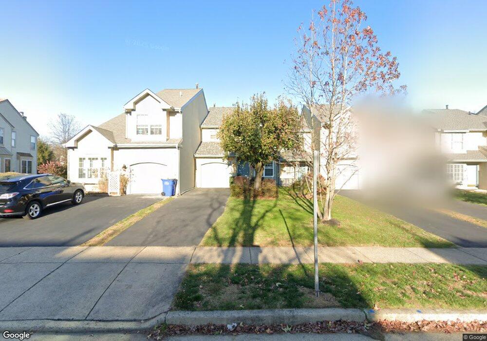
22 Sequoia Dr Newtown, PA 18940
Estimated Value: $504,712 - $554,000
2
Beds
3
Baths
1,758
Sq Ft
$297/Sq Ft
Est. Value
About This Home
This home is located at 22 Sequoia Dr, Newtown, PA 18940 and is currently estimated at $522,678, approximately $297 per square foot. 22 Sequoia Dr is a home located in Bucks County with nearby schools including Newtown Elementary School, Newtown Middle School, and Council Rock High School North.
Ownership History
Date
Name
Owned For
Owner Type
Purchase Details
Closed on
Dec 10, 1997
Sold by
Schwing Erik J and Schwing Anita M
Bought by
Hayter Andrew J
Current Estimated Value
Home Financials for this Owner
Home Financials are based on the most recent Mortgage that was taken out on this home.
Original Mortgage
$113,600
Outstanding Balance
$19,066
Interest Rate
7.14%
Estimated Equity
$503,612
Purchase Details
Closed on
Jan 21, 1988
Bought by
Schwing Erik J
Create a Home Valuation Report for This Property
The Home Valuation Report is an in-depth analysis detailing your home's value as well as a comparison with similar homes in the area
Home Values in the Area
Average Home Value in this Area
Purchase History
| Date | Buyer | Sale Price | Title Company |
|---|---|---|---|
| Hayter Andrew J | $142,000 | -- | |
| Schwing Erik J | $152,100 | -- |
Source: Public Records
Mortgage History
| Date | Status | Borrower | Loan Amount |
|---|---|---|---|
| Open | Hayter Andrew J | $113,600 |
Source: Public Records
Tax History
| Year | Tax Paid | Tax Assessment Tax Assessment Total Assessment is a certain percentage of the fair market value that is determined by local assessors to be the total taxable value of land and additions on the property. | Land | Improvement |
|---|---|---|---|---|
| 2025 | $5,161 | $29,040 | $2,920 | $26,120 |
| 2024 | $5,161 | $29,040 | $2,920 | $26,120 |
| 2023 | $4,938 | $29,040 | $2,920 | $26,120 |
| 2022 | $4,842 | $29,040 | $2,920 | $26,120 |
| 2021 | $4,767 | $29,040 | $2,920 | $26,120 |
| 2020 | $4,538 | $29,040 | $2,920 | $26,120 |
| 2019 | $4,430 | $29,040 | $2,920 | $26,120 |
| 2018 | $4,346 | $29,040 | $2,920 | $26,120 |
| 2017 | $4,195 | $29,040 | $2,920 | $26,120 |
| 2016 | $4,166 | $29,040 | $2,920 | $26,120 |
| 2015 | -- | $29,040 | $2,920 | $26,120 |
| 2014 | -- | $29,040 | $2,920 | $26,120 |
Source: Public Records
Map
Nearby Homes
- 6 Susanna Way
- 3206 Society Place
- 41 Laurel Cir
- 301 Society Place Unit A1
- 82 Honey Locust Ln
- 35 Rittenhouse Cir
- 805 Society Place Unit 8H1
- 438 Durham Rd
- 2 Eagleton Farm Rd
- 25 Honey Locust Ln
- 7 Augusta Dr
- 0 Augusta Dr Unit KINGSWOOD
- 0 Augusta Dr Unit MAYWEATHER
- 0 Augusta Dr Unit RAINTREE
- 0 Augusta Dr Unit CLOVERFIELD
- 0 Augusta Dr Unit ROLLINS
- 0 Augusta Dr Unit LANEY
- 19 Augusta Dr
- 20 Augusta Dr
- 21 Augusta Dr
Your Personal Tour Guide
Ask me questions while you tour the home.