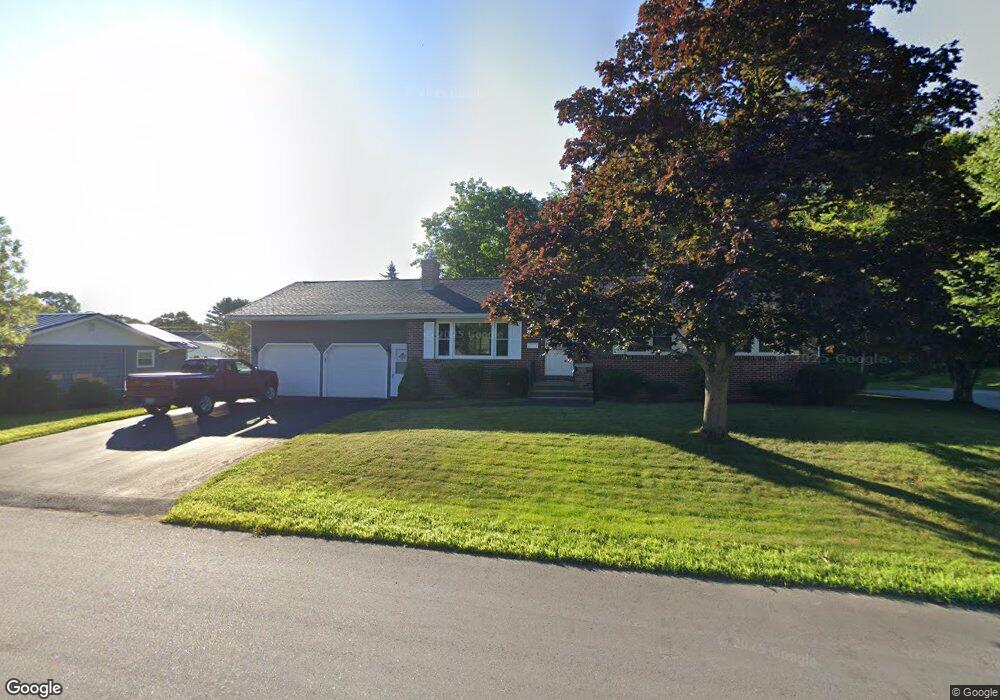
22 Surry Ln Lewiston, ME 04240
Estimated Value: $331,000 - $352,914
3
Beds
3
Baths
1,600
Sq Ft
$213/Sq Ft
Est. Value
About This Home
This home is located at 22 Surry Ln, Lewiston, ME 04240 and is currently estimated at $340,229, approximately $212 per square foot. 22 Surry Ln is a home located in Androscoggin County with nearby schools including Raymond A. Geiger Elementary School, Lewiston Middle School, and Lewiston High School.
Ownership History
Date
Name
Owned For
Owner Type
Purchase Details
Closed on
Mar 1, 2013
Sold by
Boucher John G
Bought by
Boucher Dayle M
Current Estimated Value
Home Financials for this Owner
Home Financials are based on the most recent Mortgage that was taken out on this home.
Original Mortgage
$130,900
Outstanding Balance
$91,270
Interest Rate
3.43%
Mortgage Type
Purchase Money Mortgage
Estimated Equity
$248,959
Purchase Details
Closed on
Jun 1, 2010
Sold by
Carey Regina
Bought by
Boucher John G and Boucher Dayle M
Home Financials for this Owner
Home Financials are based on the most recent Mortgage that was taken out on this home.
Original Mortgage
$166,667
Interest Rate
5.5%
Mortgage Type
FHA
Purchase Details
Closed on
Dec 20, 2007
Sold by
Morgan Keith
Bought by
Carey Regina
Create a Home Valuation Report for This Property
The Home Valuation Report is an in-depth analysis detailing your home's value as well as a comparison with similar homes in the area
Home Values in the Area
Average Home Value in this Area
Purchase History
We collect this data history from publicly available records. To have your information removed, we recommend requesting removal directly through your county’s website.
| Date | Buyer | Sale Price | Title Company |
|---|---|---|---|
| Boucher Dayle M | -- | -- | |
| Boucher John G | -- | -- | |
| Carey Regina | -- | -- |
Source: Public Records
Mortgage History
We collect this data history from publicly available records. To have your information removed, we recommend requesting removal directly through your county’s website.
| Date | Status | Borrower | Loan Amount |
|---|---|---|---|
| Open | Boucher Dayle M | $130,900 | |
| Closed | Carey Regina | $166,667 |
Source: Public Records
Tax History
| Year | Tax Paid | Tax Assessment Tax Assessment Total Assessment is a certain percentage of the fair market value that is determined by local assessors to be the total taxable value of land and additions on the property. | Land | Improvement |
|---|---|---|---|---|
| 2025 | $4,563 | $139,200 | $30,120 | $109,080 |
| 2024 | $4,422 | $139,200 | $30,120 | $109,080 |
| 2023 | $4,176 | $139,200 | $30,120 | $109,080 |
| 2022 | $3,868 | $135,720 | $30,120 | $105,600 |
| 2021 | $3,835 | $135,720 | $30,120 | $105,600 |
| 2020 | $3,891 | $135,720 | $30,120 | $105,600 |
| 2019 | $3,924 | $135,720 | $30,120 | $105,600 |
| 2018 | $3,891 | $135,720 | $30,120 | $105,600 |
| 2017 | $3,803 | $135,720 | $30,120 | $105,600 |
| 2016 | $3,738 | $135,720 | $30,120 | $105,600 |
| 2015 | $3,715 | $135,720 | $30,120 | $105,600 |
| 2014 | $3,609 | $135,720 | $30,120 | $105,600 |
| 2013 | $3,588 | $135,720 | $30,120 | $105,600 |
Source: Public Records
Map
Nearby Homes
- 14 Champlain Ave
- 12 Champlain Ave
- 21 Surry Ln
- 14 Bonnallie Ave
- 12 Bonnallie Ave
- 12 Bonnaille Ave
- 16 Champlain Ave
- 10 Champlain Ave
- 15 Bonnallie Ave
- 13 Champlain Ave
- 16 Bonnaille Ave
- 11 Champlain Ave
- 28 S Surry Ln
- 17 Bonnaille Ave
- 16 Bonnallie Ave
- 15 Champlain Ave
- 20 Champlain Ave
- 8 Champlain Ave
- 9 Champlain Ave
- 10 Bonnallie Ave
Your Personal Tour Guide
Ask me questions while you tour the home.