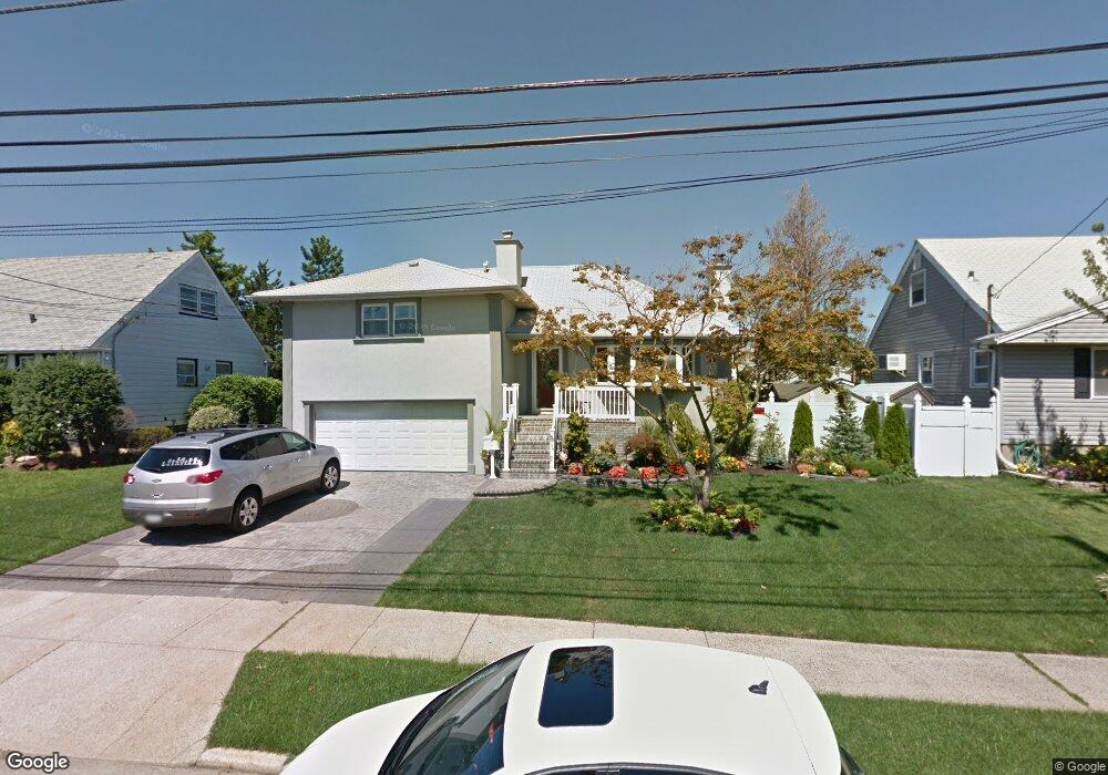
22 W 4th St Freeport, NY 11520
Estimated Value: $697,000 - $802,000
Studio
2
Baths
1,272
Sq Ft
$588/Sq Ft
Est. Value
About This Home
This home is located at 22 W 4th St, Freeport, NY 11520 and is currently estimated at $747,305, approximately $587 per square foot. 22 W 4th St is a home located in Nassau County with nearby schools including Columbus Avenue School, Caroline G. Atkinson Intermediate School, and John W Dodd Middle School.
Ownership History
Date
Name
Owned For
Owner Type
Purchase Details
Closed on
Jan 30, 2026
Sold by
Bonnen Lina
Bought by
Lina M Bonnen Living Trust and Bonnen
Current Estimated Value
Purchase Details
Closed on
Jan 27, 2017
Sold by
Bonnen Richard and Bonnen Lina M
Bought by
Bonnen Lina
Purchase Details
Closed on
Jul 21, 2010
Sold by
Cervone Joseph
Bought by
Bonnen Richard and Bonnen Lina M
Home Financials for this Owner
Home Financials are based on the most recent Mortgage that was taken out on this home.
Original Mortgage
$409,485
Outstanding Balance
$271,846
Interest Rate
5.25%
Mortgage Type
FHA
Estimated Equity
$475,459
Purchase Details
Closed on
Jan 29, 2007
Sold by
Gordon Ronald
Purchase Details
Closed on
Nov 7, 2006
Sold by
Gordon Ronald
Purchase Details
Closed on
Aug 24, 2005
Sold by
Gordon Aaron
Create a Home Valuation Report for This Property
The Home Valuation Report is an in-depth analysis detailing your home's value as well as a comparison with similar homes in the area
Home Values in the Area
Average Home Value in this Area
Purchase History
We collect this data history from publicly available records. To have your information removed, we recommend requesting removal directly through your county’s website.
| Date | Buyer | Sale Price | Title Company |
|---|---|---|---|
| Lina M Bonnen Living Trust | -- | None Available | |
| Lina M Bonnen Living Trust | -- | None Available | |
| Bonnen Lina | -- | New York Board Of Title | |
| Bonnen Lina M | -- | New York Board Of Title | |
| Bonnen Richard | $420,000 | -- | |
| Bonnen Richard | $420,000 | -- | |
| Bonnen Richard | $420,000 | -- | |
| -- | $425,000 | -- | |
| -- | -- | -- | |
| -- | -- | -- |
Source: Public Records
Mortgage History
We collect this data history from publicly available records. To have your information removed, we recommend requesting removal directly through your county’s website.
| Date | Status | Borrower | Loan Amount |
|---|---|---|---|
| Open | Bonnen Richard | $409,485 | |
| Closed | Bonnen Richard | $409,485 |
Source: Public Records
Tax History
| Year | Tax Paid | Tax Assessment Tax Assessment Total Assessment is a certain percentage of the fair market value that is determined by local assessors to be the total taxable value of land and additions on the property. | Land | Improvement |
|---|---|---|---|---|
| 2025 | $8,548 | $438 | $181 | $257 |
| 2024 | $954 | $445 | $184 | $261 |
| 2023 | $7,701 | $452 | $187 | $265 |
| 2022 | $7,701 | $452 | $187 | $265 |
| 2021 | $10,711 | $450 | $170 | $280 |
| 2020 | $7,304 | $612 | $611 | $1 |
| 2019 | $7,668 | $656 | $655 | $1 |
| 2017 | $7,542 | $743 | $674 | $69 |
| 2016 | $8,657 | $786 | $506 | $280 |
| 2015 | $1,199 | $830 | $535 | $295 |
| 2014 | $1,199 | $830 | $535 | $295 |
| 2013 | $1,511 | $1,107 | $713 | $394 |
Source: Public Records
Map
Nearby Homes
- 4 Laurette Ln
- 48 W 3rd St
- 11 Ocean Watch Ct
- 12 Ocean Watch Ct
- 13 Ocean Watch Ct
- 10 Ocean Watch Ct
- 9 Ocean Watch Ct
- 8 Ocean Watch Ct
- 7 Ocean Watch Ct
- 64 W 2nd St
- 54 Ocean Watch Ct
- 51 E 2nd St
- 268 Gordon Place
- 62 W 1st St
- 62 E 1st St
- 251 Garfield St
- 165 Gordon Place
- 78 Layton St
- 50 Ann Dr E
- 308 Bedell St
Your Personal Tour Guide
Ask me questions while you tour the home.