Studio
2
Baths
2,688
Sq Ft
--
Built
About This Home
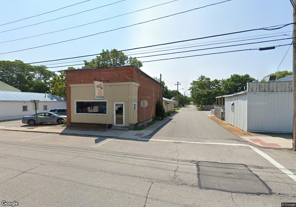
This home is located at 220 E Main St, Ney, OH 43549. 220 E Main St is a home located in Defiance County with nearby schools including Fairview Elementary School, Fairview Middle School, and Fairview High School.
Ownership History
Date
Name
Owned For
Owner Type
Purchase Details
Closed on
Dec 12, 2016
Sold by
Clubhouse Pizza Llc
Bought by
Jaerae Llc
Home Financials for this Owner
Home Financials are based on the most recent Mortgage that was taken out on this home.
Original Mortgage
$58,500
Outstanding Balance
$5,125
Interest Rate
3.47%
Mortgage Type
Commercial
Purchase Details
Closed on
Feb 23, 2009
Sold by
Houdinis Lounge & Steakhouse Llc
Bought by
Clubhouse Pizza Llc
Home Financials for this Owner
Home Financials are based on the most recent Mortgage that was taken out on this home.
Original Mortgage
$72,500
Interest Rate
4.91%
Mortgage Type
Commercial
Purchase Details
Closed on
Jul 10, 2006
Sold by
Hasseschwert Eugen and Hasseschwert Sandra
Bought by
Hudini S & Lounge Steakhouse Llc
Home Financials for this Owner
Home Financials are based on the most recent Mortgage that was taken out on this home.
Original Mortgage
$600,000
Interest Rate
6.68%
Mortgage Type
Future Advance Clause Open End Mortgage
Purchase Details
Closed on
Oct 11, 2002
Bought by
Clubhouse Pizza Llc
Create a Home Valuation Report for This Property
The Home Valuation Report is an in-depth analysis detailing your home's value as well as a comparison with similar homes in the area
Purchase History
| Date | Buyer | Sale Price | Title Company |
|---|---|---|---|
| Jaerae Llc | $60,000 | None Available | |
| Clubhouse Pizza Llc | $46,875 | -- | |
| Hudini S & Lounge Steakhouse Llc | -- | None Available | |
| Hasselschwert Eugene | $48,000 | None Available | |
| Clubhouse Pizza Llc | $55,000 | -- |
Source: Public Records
Mortgage History
| Date | Status | Borrower | Loan Amount |
|---|---|---|---|
| Open | Jaerae Llc | $58,500 | |
| Previous Owner | Clubhouse Pizza Llc | $72,500 | |
| Previous Owner | Hasselschwert Eugene | $600,000 |
Source: Public Records
Map
Nearby Homes
- 105 N Jackson St
- 00 Ohio 249
- 0 Ohio 249
- 1105 E Main St
- 4515 Glenburg Rd
- 4463 Glenburg Rd
- 18390 Williams Defiance County Line Rd
- 4913 Evansport Rd
- 130 Megan Dr
- 8320 Openlander Rd
- 000 Spring Meadow Ln
- 706 Briarwood Ln
- 0 State Route 18 Unit 6123115
- 0 State Route 18 Unit 6123113
- 9819 Ohio 249
- 411 E South St
- 0 Elmwood Dr
- 323 E South St
- 1006 S Beech St
- 414 Rosemont Ave
Your Personal Tour Guide
Ask me questions while you tour the home.