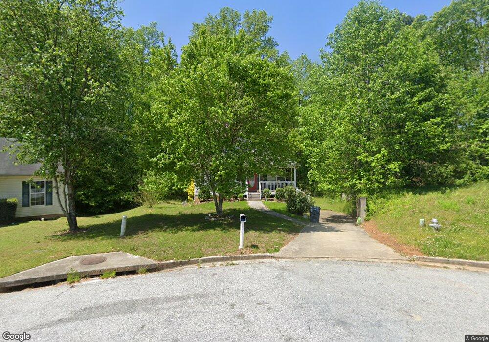
220 Railside Dr Covington, GA 30014
Estimated Value: $276,000 - $304,000
About This Home
This home is located at 220 Railside Dr, Covington, GA 30014 and is currently estimated at $287,013, approximately $203 per square foot. 220 Railside Dr is a home located in Newton County with nearby schools including Heard-Mixon Elementary School, Cousins Middle School, and Eastside High School.
Ownership History
We collect this data history from publicly available records. To have your information removed, we recommend requesting removal directly through your county’s website.
Purchase Details
Home Financials for this Owner
Home Financials are based on the most recent Mortgage that was taken out on this home.Home Values in the Area
Average Home Value in this Area
Purchase History
We collect this data history from publicly available records. To have your information removed, we recommend requesting removal directly through your county’s website.
| Date | Buyer | Sale Price | Title Company |
|---|---|---|---|
| $150,000 | -- |
Mortgage History
We collect this data history from publicly available records. To have your information removed, we recommend requesting removal directly through your county’s website.
| Date | Status | Borrower | Loan Amount |
|---|---|---|---|
| Open | $127,499 |
Tax History
We collect this data history from publicly available records. To have your information removed, we recommend requesting removal directly through your county’s website.
| Year | Tax Paid | Tax Assessment Tax Assessment Total Assessment is a certain percentage of the fair market value that is determined by local assessors to be the total taxable value of land and additions on the property. | Land | Improvement |
|---|---|---|---|---|
| 2025 | $3,442 | $135,400 | $15,200 | $120,200 |
| 2024 | $3,279 | $126,600 | $15,200 | $111,400 |
| 2023 | $3,292 | $118,680 | $6,400 | $112,280 |
| 2022 | $2,472 | $88,440 | $6,400 | $82,040 |
| 2021 | $2,384 | $76,240 | $6,400 | $69,840 |
| 2020 | $2,172 | $62,560 | $6,400 | $56,160 |
| 2019 | $1,875 | $52,920 | $6,400 | $46,520 |
| 2018 | $1,467 | $40,680 | $5,000 | $35,680 |
| 2017 | $1,405 | $38,880 | $3,800 | $35,080 |
| 2016 | $1,431 | $39,640 | $3,800 | $35,840 |
| 2015 | $1,400 | $38,760 | $3,200 | $35,560 |
| 2014 | $1,395 | $38,760 | $0 | $0 |
Map
- 25 Scarlett Ct
- 10717 Highway 36
- 324 Piper Rd
- 10724 Highway 36
- 11028 Highway 36
- 20 Bellflower Walk
- 398 River Walk Farm Pkwy
- 391 River Walk Farm Pkwy
- 15 Kestrel Cir Unit 2
- 370 Granary Walk
- 70 Snapdragon Ln
- 18 River Walk Farm Pkwy
- 10184 Malcolm Dr
- 7713 Fawn Cir
- 7713 Fawn Cir Unit 51
- 7703 Fawn Cir
- 30 Laurie Ln
- 7157 S Dearing St S
- 10110 Malcolm Ct
- 9120 Leverett Cir
- 225 Railside Dr
- 210 Railside Dr
- 200 Railside Dr
- 215 Railside Dr
- 190 Railside Dr
- 35 Sunbelt Pkwy
- 45 Boxcar Ln
- 105 Cedar Creek Dr
- 110 Cedar Creek Dr
- 195 Railside Dr
- 180 Railside Dr
- 95 Cedar Creek Dr Unit 1
- 35 Boxcar Ln
- 30 Boxcar Ln
- 100 Cedar Creek Dr Unit 1
- 170 Railside Dr
- 25 Sunbelt Pkwy Unit 25B, C; 35 B
- 25 Sunbelt Pkwy
- 175 Railside Dr
- 85 Cedar Creek Dr Unit 1
Ask me questions while you tour the home.