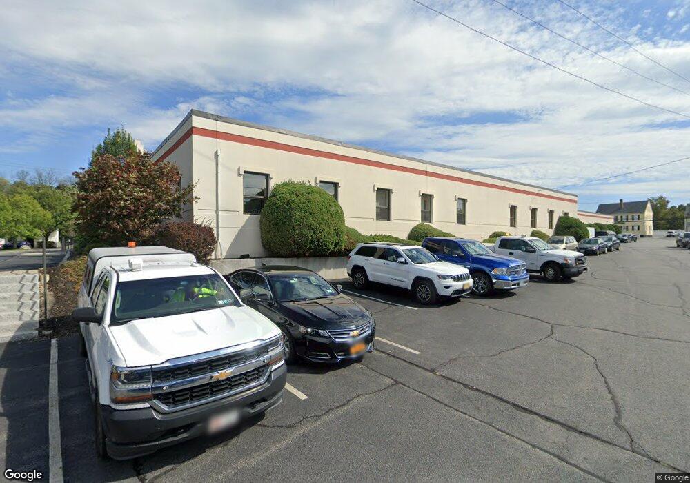
220 Sutton St Unit 2 North Andover, MA 01845
Estimated Value: $687,000
Studio
--
Bath
2,400
Sq Ft
$286/Sq Ft
Est. Value
About This Home
This home is located at 220 Sutton St Unit 2, North Andover, MA 01845 and is currently priced at $687,000, approximately $286 per square foot. 220 Sutton St Unit 2 is a home located in Essex County with nearby schools including Thomson Elementary School, North Andover Middle School, and North Andover High School.
Ownership History
Date
Name
Owned For
Owner Type
Purchase Details
Closed on
May 22, 2012
Sold by
Lbm Rt and Matses Charles A
Bought by
220 Sutton Street Llc
Current Estimated Value
Purchase Details
Closed on
Mar 11, 2011
Sold by
Matses Charles T
Bought by
220 Sutton Street Llc
Create a Home Valuation Report for This Property
The Home Valuation Report is an in-depth analysis detailing your home's value as well as a comparison with similar homes in the area
Home Values in the Area
Average Home Value in this Area
Purchase History
| Date | Buyer | Sale Price | Title Company |
|---|---|---|---|
| 220 Sutton Street Llc | -- | -- | |
| 220 Sutton Street Llc | -- | -- |
Source: Public Records
Mortgage History
| Date | Status | Borrower | Loan Amount |
|---|---|---|---|
| Previous Owner | 220 Sutton Street Llc | $1,400,000 |
Source: Public Records
Tax History
| Year | Tax Paid | Tax Assessment Tax Assessment Total Assessment is a certain percentage of the fair market value that is determined by local assessors to be the total taxable value of land and additions on the property. | Land | Improvement |
|---|---|---|---|---|
| 2025 | $51,839 | $3,276,800 | $701,200 | $2,575,600 |
| 2024 | $49,369 | $3,164,700 | $655,900 | $2,508,800 |
| 2023 | $50,353 | $2,919,000 | $610,700 | $2,308,300 |
| 2022 | $50,030 | $2,671,100 | $542,800 | $2,128,300 |
| 2021 | $47,426 | $2,458,600 | $429,800 | $2,028,800 |
| 2020 | $45,558 | $2,458,600 | $429,800 | $2,028,800 |
| 2019 | $47,156 | $2,458,600 | $429,800 | $2,028,800 |
| 2018 | $52,467 | $2,458,600 | $429,800 | $2,028,800 |
| 2017 | $52,501 | $2,567,300 | $380,000 | $2,187,300 |
| 2016 | $52,553 | $2,567,300 | $210,400 | $2,356,900 |
| 2015 | $43,695 | $2,153,500 | $190,400 | $1,963,100 |
Source: Public Records
Map
Nearby Homes
- 94 Main St
- 148 Main St Unit K325
- 35 Wood Ave Unit 35
- 70 Marston St
- 13 Walker Rd Unit 12
- 36 Richardson Ave
- 234 Middlesex St
- 84 Howard St
- 93 Allston St
- 16 Market St
- 22 Pleasant St Unit D
- 28 Elmwood St
- 0 Great Pond Rd
- 11 Woodbridge Rd
- 270 E Haverhill St Unit 12
- 264 E Haverhill St Unit 2
- 264 E Haverhill St Unit 4
- 350 Greene St Unit 102
- 350 Greene St Unit 306
- 350 Greene St Unit 305
- 220 Sutton St
- 232 Sutton St Unit 2
- 232 Sutton St
- 215 Sutton St
- 238 Sutton St
- 217 Sutton St
- 213 Sutton St Unit 215
- 200 Sutton St Unit 412
- 200 Sutton St
- 242 Sutton St
- 27 Charles St
- 250 Sutton St
- 249 Sutton St
- 249 Sutton St Unit 251
- 11 Thorndike Rd
- 253 Sutton St Unit 255
- 258 Sutton St
- 12 Ellis St
- 3 Ellis St
- 31 Riverview St
Your Personal Tour Guide
Ask me questions while you tour the home.