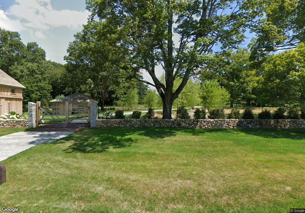
220 Umpawaug Rd Redding, CT 06896
Estimated Value: $2,140,000 - $4,108,707
Studio
--
Bath
15,612
Sq Ft
$190/Sq Ft
Est. Value
About This Home
This home is located at 220 Umpawaug Rd, Redding, CT 06896 and is currently estimated at $2,970,902, approximately $190 per square foot. 220 Umpawaug Rd is a home with nearby schools including Redding Elementary School, John Read Middle School, and Joel Barlow High School.
Ownership History
Date
Name
Owned For
Owner Type
Purchase Details
Closed on
Oct 7, 2022
Sold by
Robin C Bishop Ret
Bought by
Robin C Bishop Qprt
Current Estimated Value
Purchase Details
Closed on
Mar 5, 2021
Sold by
Bishop William W and Bishop Robin C
Bought by
William W Bishop Jr Ret
Purchase Details
Closed on
Jul 31, 2007
Sold by
Valeri Paul and Falciglia Thomas
Bought by
Bishop William W and Bishop Robin C
Create a Home Valuation Report for This Property
The Home Valuation Report is an in-depth analysis detailing your home's value as well as a comparison with similar homes in the area
Home Values in the Area
Average Home Value in this Area
Purchase History
We collect this data history from publicly available records. To have your information removed, we recommend requesting removal directly through your county’s website.
| Date | Buyer | Sale Price | Title Company |
|---|---|---|---|
| Robin C Bishop Qprt | -- | None Available | |
| William W Bishop Jr Ret | -- | None Available | |
| William W Bishop Jr Ret | -- | None Available | |
| Bishop William W | $1,900,000 | -- | |
| Valeri Paul J | $750,000 | -- |
Source: Public Records
Tax History
| Year | Tax Paid | Tax Assessment Tax Assessment Total Assessment is a certain percentage of the fair market value that is determined by local assessors to be the total taxable value of land and additions on the property. | Land | Improvement |
|---|---|---|---|---|
| 2025 | $78,328 | $2,651,600 | $503,000 | $2,148,600 |
| 2024 | $76,154 | $2,651,600 | $503,000 | $2,148,600 |
| 2023 | $73,423 | $2,651,600 | $503,000 | $2,148,600 |
| 2022 | $71,034 | $2,130,600 | $531,000 | $1,599,600 |
| 2021 | $69,969 | $2,130,600 | $531,000 | $1,599,600 |
| 2020 | $69,969 | $2,130,600 | $531,000 | $1,599,600 |
| 2019 | $69,844 | $2,126,800 | $531,000 | $1,595,800 |
| 2018 | $55,179 | $1,739,550 | $531,000 | $1,208,550 |
| 2017 | $20,906 | $705,800 | $362,500 | $343,300 |
| 2016 | $10,600 | $362,500 | $362,500 | $0 |
| 2015 | $10,199 | $352,800 | $352,800 | $0 |
| 2014 | $10,199 | $352,800 | $352,800 | $0 |
Source: Public Records
Map
Nearby Homes
- 206 Umpawaug Rd
- 229 Umpawaug Rd
- 7 Jeremiah Sanford Rd
- 268 Umpawaug Rd
- 172 Gallows Hill Rd
- 148 Old Redding Rd
- 313 Umpawaug Rd
- 8 Windy Hill Rd
- 24 Costa Ln
- 42 Topstone Rd
- 19 Marchant Rd
- 86 Seventy Acre Rd
- 4 Long Ridge Rd
- 33 Topledge Rd
- 39 Seventy Acre Rd
- 6 Winding Brook Ct
- 67 Umpawaug Rd
- 37 Lamppost Dr
- 65 Umpawaug Rd
- 121 Picketts Ridge Rd
- 230 Umpawaug Rd
- 216 Umpawaug Rd
- 224 Umpawaug Rd
- 212 Umpawaug Rd
- 240 Umpawaug Rd
- 44 Granite Ridge Rd
- 217 Umpawaug Rd
- 233 Umpawaug Rd
- 207 Umpawaug Rd
- 202 Umpawaug Rd
- 244 Umpawaug Rd
- 155 Topstone Rd
- 201 Umpawaug Rd
- 205 Umpawaug Rd
- 200 Umpawaug Rd
- 248 Umpawaug Rd
- 144 Topstone Rd
- 140 Topstone Rd
- 46 Granite Ridge Rd
- 142 Topstone Rd
Your Personal Tour Guide
Ask me questions while you tour the home.