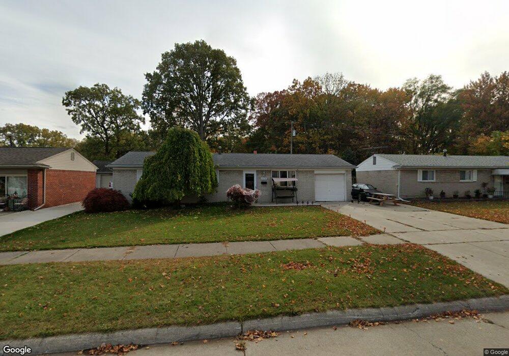
22035 Bernard St Unit Bldg-Unit Taylor, MI 48180
Estimated Value: $241,000 - $307,000
About This Home
This home is located at 22035 Bernard St Unit Bldg-Unit, Taylor, MI 48180 and is currently estimated at $272,628, approximately $134 per square foot. 22035 Bernard St Unit Bldg-Unit is a home located in Wayne County with nearby schools including Kinyon Elementary School, Robert J. West Middle School, and Taylor Preparatory High School.
Ownership History
We collect this data history from publicly available records. To have your information removed, we recommend requesting removal directly through your county’s website.
Purchase Details
Home Financials for this Owner
Home Financials are based on the most recent Mortgage that was taken out on this home.Purchase Details
Purchase Details
Purchase Details
Home Values in the Area
Average Home Value in this Area
Purchase History
We collect this data history from publicly available records. To have your information removed, we recommend requesting removal directly through your county’s website.
| Date | Buyer | Sale Price | Title Company |
|---|---|---|---|
| $137,000 | Michigan Title Ins Agcy Inc | ||
| -- | Attorney | ||
| -- | None Available | ||
| $117,020 | None Available |
Mortgage History
We collect this data history from publicly available records. To have your information removed, we recommend requesting removal directly through your county’s website.
| Date | Status | Borrower | Loan Amount |
|---|---|---|---|
| Open | $134,518 |
Tax History
We collect this data history from publicly available records. To have your information removed, we recommend requesting removal directly through your county’s website.
| Year | Tax Paid | Tax Assessment Tax Assessment Total Assessment is a certain percentage of the fair market value that is determined by local assessors to be the total taxable value of land and additions on the property. | Land | Improvement |
|---|---|---|---|---|
| 2025 | $4,548 | $138,600 | $0 | $0 |
| 2024 | $4,404 | $131,800 | $0 | $0 |
| 2023 | $5,240 | $118,300 | $0 | $0 |
| 2022 | $4,203 | $107,200 | $0 | $0 |
| 2021 | $4,784 | $97,800 | $0 | $0 |
| 2020 | $4,920 | $87,900 | $0 | $0 |
| 2019 | $298,492 | $74,300 | $0 | $0 |
| 2018 | $2,352 | $62,500 | $0 | $0 |
| 2017 | $1,274 | $58,500 | $0 | $0 |
| 2016 | $2,908 | $56,700 | $0 | $0 |
| 2015 | $5,314 | $54,300 | $0 | $0 |
| 2013 | $5,290 | $55,100 | $0 | $0 |
| 2012 | $3,442 | $53,400 | $13,800 | $39,600 |
Map
- 6445 Pardee Rd
- 11115 Mckinley St
- 11143 Dudley St
- 9883 William St
- 9782 William St
- 11109 S Maplelawn Ave
- 11093 Baraga St
- 10769 Birch St
- 21090 Goddard Rd
- 23335 Koths St
- 10219 Island Lake Dr
- 9560 Sylvester St
- 9405 Lincoln St
- 9384 Elaine Ct
- 10732 Lakeview Dr
- 11340 Polk St
- 23362 Baker St
- 23319 Haig St
- 22311 Wick Rd
- 22327 Wick Rd
- 22035 Bernard St
- 22049 Bernard St
- 22021 Bernard St
- 22065 Bernard St
- 22009 Bernard St
- 22032 Bernard St
- 22044 Bernard St
- 22020 Bernard St
- 22077 Bernard St
- 22056 Bernard St
- 22008 Bernard St
- 22068 Bernard St
- 0 Bernard St
- 22089 Bernard St
- 10700 Monroe Blvd
- 22080 Bernard St
- 22031 Harmon St
- 22043 Harmon St
- 22019 Harmon St
- 22055 Harmon St
Ask me questions while you tour the home.