221 Cornwall Bridge Rd Sharon, CT 06069
Estimated Value: $709,000 - $1,480,000
5
Beds
3
Baths
3,361
Sq Ft
$313/Sq Ft
Est. Value
About This Home
This home is located at 221 Cornwall Bridge Rd, Sharon, CT 06069 and is currently estimated at $1,053,386, approximately $313 per square foot. 221 Cornwall Bridge Rd is a home located in Litchfield County with nearby schools including Housatonic Valley Regional High School.
Ownership History
Date
Name
Owned For
Owner Type
Purchase Details
Closed on
Aug 10, 1993
Sold by
Galton Barry B
Bought by
Shulan Michael
Current Estimated Value
Home Financials for this Owner
Home Financials are based on the most recent Mortgage that was taken out on this home.
Original Mortgage
$16,800
Interest Rate
7.21%
Create a Home Valuation Report for This Property
The Home Valuation Report is an in-depth analysis detailing your home's value as well as a comparison with similar homes in the area
Home Values in the Area
Average Home Value in this Area
Purchase History
| Date | Buyer | Sale Price | Title Company |
|---|---|---|---|
| Shulan Michael | $210,000 | -- | |
| Shulan Michael | $210,000 | -- |
Source: Public Records
Mortgage History
| Date | Status | Borrower | Loan Amount |
|---|---|---|---|
| Open | Shulan Michael | $75,000 | |
| Closed | Shulan Michael | $16,800 | |
| Closed | Shulan Michael | $168,000 |
Source: Public Records
Tax History
| Year | Tax Paid | Tax Assessment Tax Assessment Total Assessment is a certain percentage of the fair market value that is determined by local assessors to be the total taxable value of land and additions on the property. | Land | Improvement |
|---|---|---|---|---|
| 2025 | $5,863 | $525,800 | $242,700 | $283,100 |
| 2024 | $5,468 | $518,300 | $242,700 | $275,600 |
| 2023 | $5,887 | $408,800 | $201,700 | $207,100 |
| 2022 | $5,887 | $408,800 | $201,700 | $207,100 |
| 2021 | $5,928 | $408,800 | $201,700 | $207,100 |
| 2020 | $5,887 | $408,800 | $201,700 | $207,100 |
| 2019 | $5,887 | $408,800 | $201,700 | $207,100 |
| 2018 | $6,258 | $425,700 | $207,200 | $218,500 |
| 2017 | $6,258 | $425,700 | $207,200 | $218,500 |
| 2016 | $5,792 | $402,200 | $207,200 | $195,000 |
| 2015 | $5,510 | $402,200 | $207,200 | $195,000 |
| 2014 | $5,329 | $402,200 | $207,200 | $195,000 |
Source: Public Records
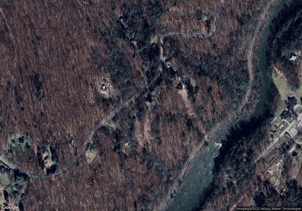
Map
Nearby Homes
- 0 Railroad St
- 0 Swaller Hill Rd Unit 24065338
- 0 Swaller Hill Rd Unit 24141946
- 0 Swaller Hill Rd Unit 24117863
- 39 Swaller Hill Rd Unit lot 3
- 39 Swaller Hill Rd Unit 1
- 50 Popple Swamp Rd
- 233 Sharon-Goshen Turnpike
- 200 Sharon Mountain Rd
- 39 Cemetery Hill Rd
- 25 Bowne Rd
- 76 Fairchild Rd
- 82 Valley Rd
- 12 Silver Hill Rd
- 331 Calkinstown Rd
- 50 Jewett Hill Rd
- 153 White Hollow Rd
- 21 S Ellsworth Rd
- 471 Lime Rock Rd
- 70 Kent Rd S
- 217 Cornwall Bridge Rd
- 227 Cornwall Bridge Rd
- 213 Cornwall Bridge Rd
- 213 W Cornwall Rd
- 209 Cornwall Bridge Rd
- 214 W Cornwall Rd
- 229 Cornwall Bridge Rd
- 229 W Cornwall Rd
- 230 Cornwall Bridge Rd
- 240 Cornwall Bridge Rd
- 240 W Cornwall Rd
- 240 W Cornwall Rd
- 206 Cornwall Bridge Rd
- 405 Rte 7 Route
- 201 Cornwall Bridge Rd
- 201 Cornwall Rd
- 246 Cornwall Bridge Rd
- 198 W Cornwall Rd
- 163 U S 7
- 194 W Cornwall Rd
Your Personal Tour Guide
Ask me questions while you tour the home.