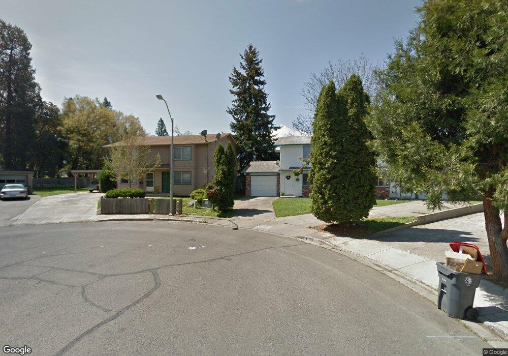
221 Twin Cir Unit A & B Phoenix, OR 97535
Estimated Value: $343,000 - $496,000
4
Beds
3
Baths
2,224
Sq Ft
$187/Sq Ft
Est. Value
About This Home
This home is located at 221 Twin Cir Unit A & B, Phoenix, OR 97535 and is currently estimated at $416,103, approximately $187 per square foot. 221 Twin Cir Unit A & B is a home with nearby schools including Phoenix Elementary School, Talent Middle School, and Phoenix High School.
Ownership History
Date
Name
Owned For
Owner Type
Purchase Details
Closed on
Nov 3, 2008
Sold by
Bornstein Jonah G and Gabriel Rebecca J
Bought by
Bornstein Jonah G and Gabriel Rebecca J
Current Estimated Value
Purchase Details
Closed on
Jun 14, 1999
Sold by
Clanton Russell Owen
Bought by
Bornstein Jonan G and Gabriel Bornstein Janice Y
Create a Home Valuation Report for This Property
The Home Valuation Report is an in-depth analysis detailing your home's value as well as a comparison with similar homes in the area
Home Values in the Area
Average Home Value in this Area
Purchase History
| Date | Buyer | Sale Price | Title Company |
|---|---|---|---|
| Bornstein Jonah G | -- | None Available | |
| Bornstein Jonan G | $85,000 | Jackson County Title |
Source: Public Records
Tax History
| Year | Tax Paid | Tax Assessment Tax Assessment Total Assessment is a certain percentage of the fair market value that is determined by local assessors to be the total taxable value of land and additions on the property. | Land | Improvement |
|---|---|---|---|---|
| 2026 | $3,144 | $197,170 | -- | -- |
| 2025 | $3,070 | $191,430 | $68,190 | $123,240 |
| 2024 | $3,070 | $185,860 | $66,210 | $119,650 |
| 2023 | $2,974 | $180,450 | $64,280 | $116,170 |
| 2022 | $2,895 | $180,450 | $64,280 | $116,170 |
| 2021 | $2,825 | $175,200 | $62,420 | $112,780 |
| 2020 | $2,737 | $170,100 | $60,600 | $109,500 |
| 2019 | $2,664 | $160,340 | $57,130 | $103,210 |
| 2018 | $2,586 | $155,670 | $55,470 | $100,200 |
| 2017 | $2,443 | $155,670 | $55,470 | $100,200 |
| 2016 | $2,377 | $146,740 | $52,290 | $94,450 |
| 2015 | $2,284 | $146,740 | $45,730 | $101,010 |
| 2014 | $2,198 | $138,330 | $43,100 | $95,230 |
Source: Public Records
Map
Nearby Homes
- 612 N Main St
- 610 N Main St Unit 5A
- 600 N Main St
- 510 N Main St
- 316 W 3rd St
- 921 N Rose St Unit A
- 215 S C St
- 130 Rhonda Ln
- 113 Houston Rd
- 4074 S Pacific Hwy Unit 10
- 130 Sharon Dr
- 4069 S Pacific Hwy Unit 108
- 4069 S Pacific Hwy Unit 42
- 4069 S Pacific Hwy Unit 103
- 3459 S Pacific Hwy
- 513 Barnum Dr
- 146 Sharon Dr
- 300 Luman Rd Unit 197
- 300 Luman Rd Unit 200
- 3966 S Pacific Hwy Unit 81
- 221 Twin Cir
- 217 Twin Cir
- 320 Independence Cir
- 320 Independence Cir Unit A-D
- 310 Independence Cir
- 310 Independence Cir Unit A-D
- 225 Twin Cir
- 213 Twin Cir
- 213 Twin Cir Unit A & B
- 229 Twin Cir
- 209 Twin Cir
- 209 Twin Cir Unit A-B
- 315 W Bolz Rd
- 330 Independence Cir
- 233 Twin Cir
- 235 Twin Cir
- 325 W Bolz Rd Unit A
- 325 W Bolz Rd Unit 1
- 325 W Bolz Rd
- 205 Twin Cir
Your Personal Tour Guide
Ask me questions while you tour the home.