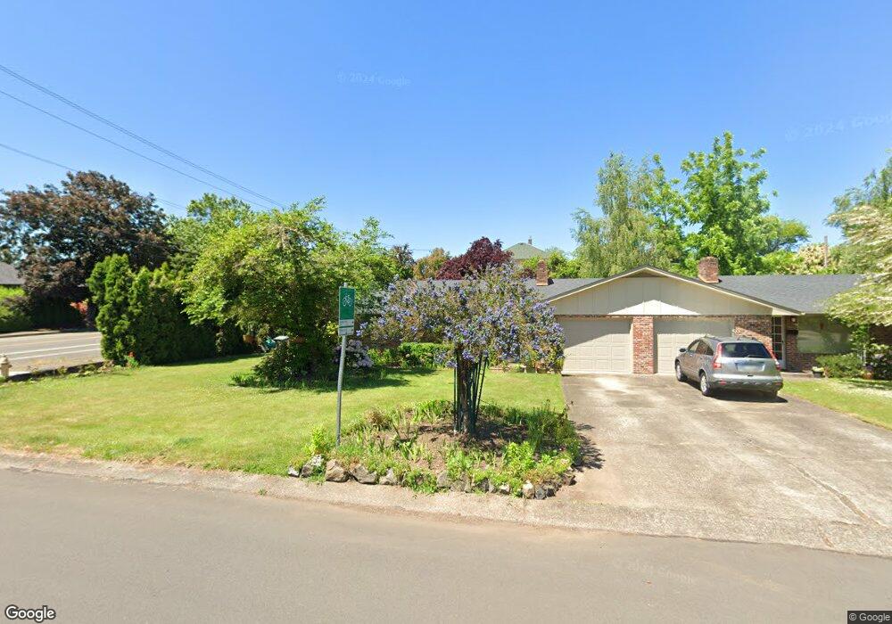
2215 Lariat Dr Eugene, OR 97401
Cal Young NeighborhoodEstimated Value: $557,000 - $588,000
4
Beds
2
Baths
1,914
Sq Ft
$299/Sq Ft
Est. Value
About This Home
This home is located at 2215 Lariat Dr, Eugene, OR 97401 and is currently estimated at $573,098, approximately $299 per square foot. 2215 Lariat Dr is a home located in Lane County with nearby schools including Willagillespie Elementary School, Monroe Middle School, and Sheldon High School.
Ownership History
Date
Name
Owned For
Owner Type
Purchase Details
Closed on
Dec 23, 2022
Sold by
Louie Jack and Louie Illine
Bought by
Jla Investments Llc
Current Estimated Value
Purchase Details
Closed on
Apr 6, 2021
Sold by
Greider Cindy K and Laing Robert G
Bought by
Louie Jack and Louie Jilene
Purchase Details
Closed on
Jun 18, 2013
Sold by
Laing Suellen
Bought by
Laing Suellen and Gerald R & Suellen Laing Family Trust
Purchase Details
Closed on
Dec 20, 2005
Sold by
Laing Gerald R
Bought by
Laing Gerald R and Laing Suellen
Create a Home Valuation Report for This Property
The Home Valuation Report is an in-depth analysis detailing your home's value as well as a comparison with similar homes in the area
Home Values in the Area
Average Home Value in this Area
Purchase History
| Date | Buyer | Sale Price | Title Company |
|---|---|---|---|
| Jla Investments Llc | -- | Evergreen Land Title | |
| Jla Investments Llc | -- | Accommodation/Courtesy Recordi | |
| Louie Jack | $447,000 | Everest Land Title Agency Lt | |
| Laing Suellen | -- | None Available | |
| Laing Gerald R | -- | -- |
Source: Public Records
Tax History
| Year | Tax Paid | Tax Assessment Tax Assessment Total Assessment is a certain percentage of the fair market value that is determined by local assessors to be the total taxable value of land and additions on the property. | Land | Improvement |
|---|---|---|---|---|
| 2025 | $6,027 | $309,319 | -- | -- |
| 2024 | $5,952 | $300,310 | -- | -- |
| 2023 | $5,952 | $291,564 | $0 | $0 |
| 2022 | $5,576 | $283,072 | $0 | $0 |
| 2021 | $5,229 | $274,828 | $0 | $0 |
| 2020 | $5,106 | $266,824 | $0 | $0 |
| 2019 | $4,905 | $259,053 | $0 | $0 |
| 2018 | $4,628 | $244,183 | $0 | $0 |
| 2017 | $4,381 | $244,183 | $0 | $0 |
| 2016 | $4,205 | $237,071 | $0 | $0 |
| 2015 | $4,099 | $230,166 | $0 | $0 |
| 2014 | $4,056 | $223,462 | $0 | $0 |
Source: Public Records
Map
Nearby Homes
- 820 Lariat Dr
- 2250 Turnberry Ct
- 1090 Corydon St
- 2150 Greenview St
- 1521 Gilham Rd
- 0 Cal Young Rd Unit Lot 4
- 950 Coburg Rd
- 1943 Monterey Ln
- 2345 Pioneer Pike
- 982 Shaughnessy Ln
- 600 Cherry Dr Unit 8
- 600 Cherry Dr Unit 3
- 516 Spyglass Dr
- 347 Rustic Place Unit 14
- 410 Spyglass Dr
- 1328 Spyglass Dr
- 1625 Monterey Ln
- 2746 Harlow Rd
- 1810 Minda Dr
- 2872 Suffolk Ct
- 2279 Lariat Dr
- 2204 Lariat Dr
- 2230 Hideaway Ct
- 990 St Andrews Dr
- 2280 Lariat Dr
- 1083 Oakway Rd
- 2275 Hideaway Ct
- 2299 Lariat Dr
- 2250 Hideaway Ct
- 2190 Law Ln
- 981 Oakway Rd
- 963 Oakway Rd
- 1097 Oakway Rd
- 2265 Hideaway Ct
- 2255 Hideaway Ct
- 2317 Lariat Dr
- 2180 Law Ln
- 2226 Sandy Dr
- 955 Oakway Rd
- 2210 Sandy Dr
Your Personal Tour Guide
Ask me questions while you tour the home.