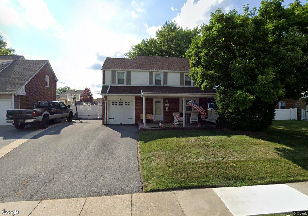
2219 Locust Rd Morton, PA 19070
Estimated Value: $367,675 - $423,000
3
Beds
1
Bath
1,564
Sq Ft
$254/Sq Ft
Est. Value
About This Home
This home is located at 2219 Locust Rd, Morton, PA 19070 and is currently estimated at $396,669, approximately $253 per square foot. 2219 Locust Rd is a home located in Delaware County with nearby schools including Amosland El School, Ridley Middle School, and Ridley High School.
Ownership History
Date
Name
Owned For
Owner Type
Purchase Details
Closed on
Sep 20, 1996
Sold by
Fricker Harry D and Fricker Jane E
Bought by
Anderson Michael and Anderson Lisa
Current Estimated Value
Home Financials for this Owner
Home Financials are based on the most recent Mortgage that was taken out on this home.
Original Mortgage
$118,800
Outstanding Balance
$3,395
Interest Rate
7.89%
Estimated Equity
$393,275
Create a Home Valuation Report for This Property
The Home Valuation Report is an in-depth analysis detailing your home's value as well as a comparison with similar homes in the area
Home Values in the Area
Average Home Value in this Area
Purchase History
We collect this data history from publicly available records. To have your information removed, we recommend requesting removal directly through your county’s website.
| Date | Buyer | Sale Price | Title Company |
|---|---|---|---|
| Anderson Michael | $132,000 | -- |
Source: Public Records
Mortgage History
We collect this data history from publicly available records. To have your information removed, we recommend requesting removal directly through your county’s website.
| Date | Status | Borrower | Loan Amount |
|---|---|---|---|
| Open | Anderson Michael | $118,800 |
Source: Public Records
Tax History
| Year | Tax Paid | Tax Assessment Tax Assessment Total Assessment is a certain percentage of the fair market value that is determined by local assessors to be the total taxable value of land and additions on the property. | Land | Improvement |
|---|---|---|---|---|
| 2026 | $7,979 | $205,600 | $65,210 | $140,390 |
| 2025 | $7,139 | $205,600 | $65,210 | $140,390 |
| 2024 | $7,139 | $205,600 | $65,210 | $140,390 |
| 2023 | $6,828 | $205,600 | $65,210 | $140,390 |
| 2022 | $6,609 | $205,600 | $65,210 | $140,390 |
| 2021 | $10,231 | $205,600 | $65,210 | $140,390 |
| 2020 | $6,729 | $119,110 | $33,220 | $85,890 |
| 2019 | $6,605 | $119,110 | $33,220 | $85,890 |
| 2018 | $6,523 | $119,110 | $0 | $0 |
| 2017 | $6,523 | $119,110 | $0 | $0 |
| 2016 | $654 | $119,110 | $0 | $0 |
| 2015 | $667 | $119,110 | $0 | $0 |
| 2014 | $654 | $119,110 | $0 | $0 |
Source: Public Records
Map
Nearby Homes
- 605 Circle Terrace
- 522 Amosland Rd
- 2135 Armstrong Ave
- 608 Hutchinson Terrace
- 2047 Walnut St
- 718 Pearl Ave
- 716 Brooke Cir
- 752 Kedron Ave
- 363 Hutchinson Terrace
- 2607 Grand Ave
- 518 Tasker Ave
- 2608 Wood Rd
- 816 Mitchell Ave
- 155 Maple Ave
- 150 Kedron Ave
- 230 Holmes Rd
- 640 Wyndom Terrace
- 206 President Ave
- 236 Winona Ave
- 2225 Theresa Ave
- 567 Holmes Rd
- 563 Holmes Rd
- 554 Stanbridge Rd
- 550 Stanbridge Rd
- 559 Holmes Rd
- 546 Stanbridge Rd
- 2207 Locust Rd
- 2203 Locust Rd
- 2211 Locust Rd
- 568 Holmes Rd
- 572 Holmes Rd
- 555 Holmes Rd
- 564 Holmes Rd
- 2215 Locust Rd
- 576 Holmes Rd
- 560 Holmes Rd
- 555 Stanbridge Rd
- 551 Stanbridge Rd
- 551 Holmes Rd
- 581 Holmes Rd
Your Personal Tour Guide
Ask me questions while you tour the home.