222 Floyd Rd Buchanan, GA 30113
Estimated Value: $223,000 - $370,625
2
Beds
2
Baths
1,296
Sq Ft
$230/Sq Ft
Est. Value
About This Home
This home is located at 222 Floyd Rd, Buchanan, GA 30113 and is currently estimated at $298,542, approximately $230 per square foot. 222 Floyd Rd is a home with nearby schools including Haralson County High School.
Ownership History
Date
Name
Owned For
Owner Type
Purchase Details
Closed on
Jun 29, 2022
Sold by
Stansell Steven L
Bought by
Stansell Trever J and Stansell Devin A
Current Estimated Value
Purchase Details
Closed on
Dec 14, 2021
Sold by
Stansell Steven L
Bought by
Stansell Trever J and Stansell Devin A
Purchase Details
Closed on
Dec 8, 2020
Sold by
Hefner Kenneth P
Bought by
Stansell Steven L and Stansell Stephanie
Purchase Details
Closed on
Jun 28, 2013
Sold by
Johnson Sandra S and Johnson Michael E
Bought by
Hefner Kenneth P and Stansell Steven L
Create a Home Valuation Report for This Property
The Home Valuation Report is an in-depth analysis detailing your home's value as well as a comparison with similar homes in the area
Purchase History
| Date | Buyer | Sale Price | Title Company |
|---|---|---|---|
| Stansell Trever J | -- | -- | |
| Stansell Trever J | -- | -- | |
| Stansell Steven L | -- | -- | |
| Hefner Kenneth P | -- | -- | |
| Hefner Kenneth P | $142,700 | -- |
Source: Public Records
Tax History
| Year | Tax Paid | Tax Assessment Tax Assessment Total Assessment is a certain percentage of the fair market value that is determined by local assessors to be the total taxable value of land and additions on the property. | Land | Improvement |
|---|---|---|---|---|
| 2025 | $1,394 | $130,416 | $49,930 | $80,486 |
| 2024 | $1,394 | $83,272 | $34,646 | $48,626 |
| 2023 | $1,600 | $108,039 | $56,392 | $51,647 |
| 2022 | $1,328 | $75,007 | $33,464 | $41,543 |
| 2021 | $1,270 | $72,245 | $32,532 | $39,713 |
| 2020 | $2,244 | $81,972 | $41,759 | $40,213 |
| 2019 | $2,232 | $78,588 | $41,759 | $36,829 |
| 2018 | $2,058 | $71,628 | $34,799 | $36,829 |
| 2017 | $2,128 | $67,427 | $34,799 | $32,628 |
| 2016 | $1,771 | $59,816 | $32,522 | $27,294 |
| 2015 | $1,771 | $59,765 | $32,522 | $27,244 |
| 2014 | $1,662 | $60,479 | $32,522 | $27,958 |
Source: Public Records
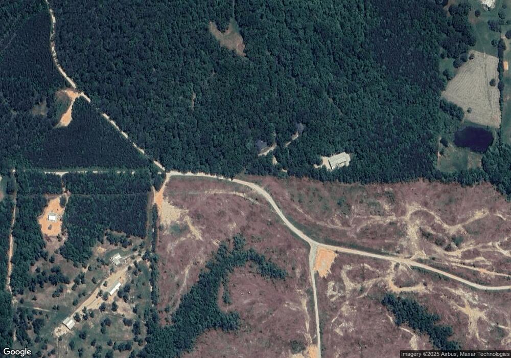
Map
Nearby Homes
- 420 Ed Church Rd
- 265 Evans Dr
- 62 Joe Rowell Rd
- 1470 Ben Davis Rd
- 0 Corinth Five Points Rd Unit 10704513
- 0 Corinth Five Points Rd Unit 7745465
- 1806 Browning Rd
- 0 Hutcheson Road Off
- 0000 Corinth-Five Points Rd
- 0 Hightower Rd Unit 10584768
- 0 Hightower Rd Unit 7633002
- 0 Hightower Rd Unit 10584778
- 0 Hightower Rd Unit 7632982
- 73 Friendship Church Rd
- 1585 Golden Pond Pass
- 54 Coppermine Rd
- 3462 Vinson Mountain Rd
- 3512 Vinson Mountain Rd
- 0 Everett Mtn Rd
- 327 Jeffers Rd
- 220 Floyd Rd
- 7 Floyd Rd
- 5 Floyd Rd
- 0 Ed Church Rd Unit 8889507
- 0 Ed Church Rd Unit 6659969
- 0 Ed Church Rd Unit 8709869
- 391 Ed Church Rd
- 0 Judd Rd Unit 8292185
- 0 Judd Rd Unit 8976647
- 0 Judd Rd Unit 8547772
- 389 Ed Church Rd
- 157 Floyd Rd
- 117 Floyd Rd
- O Ed Church Rd
- 1803 Mountain View Rd
- 1695 Mountain View Rd
- 348 Ed Church Rd
- 1705 Mountain View Rd
- 324 Ed Church Rd
- 0 Ed Church Rd Unit 7526765
Your Personal Tour Guide
Ask me questions while you tour the home.