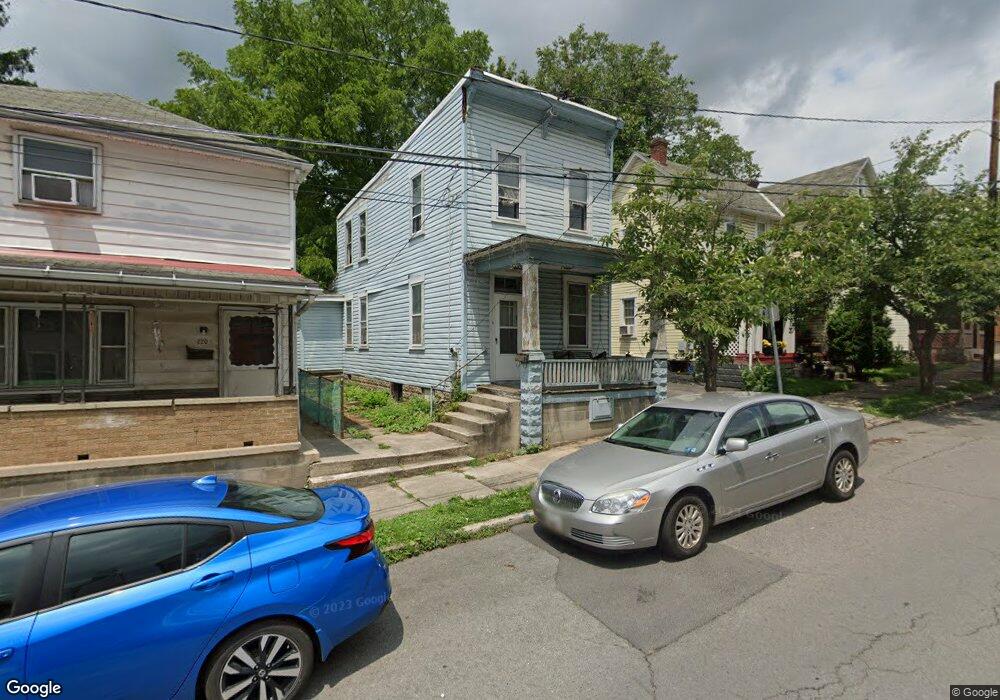
222 Pear St Cumberland, MD 21502
Estimated Value: $59,000 - $138,000
About This Home
This home is located at 222 Pear St, Cumberland, MD 21502 and is currently estimated at $104,814, approximately $91 per square foot. 222 Pear St is a home located in Allegany County with nearby schools including Northeast Elementary School, Braddock Middle School, and Allegany High School.
Ownership History
We collect this data history from publicly available records. To have your information removed, we recommend requesting removal directly through your county’s website.
Purchase Details
Purchase Details
Purchase Details
Purchase History
We collect this data history from publicly available records. To have your information removed, we recommend requesting removal directly through your county’s website.
| Date | Buyer | Sale Price | Title Company |
|---|---|---|---|
| $1,022 | -- | ||
| -- | None Listed On Document | ||
| $17,500 | -- |
Tax History
We collect this data history from publicly available records. To have your information removed, we recommend requesting removal directly through your county’s website.
| Year | Tax Paid | Tax Assessment Tax Assessment Total Assessment is a certain percentage of the fair market value that is determined by local assessors to be the total taxable value of land and additions on the property. | Land | Improvement |
|---|---|---|---|---|
| 2025 | $759 | $82,800 | $0 | $0 |
| 2024 | $197 | $21,000 | $6,000 | $15,000 |
| 2023 | $211 | $22,700 | $6,000 | $16,700 |
| 2022 | $207 | $22,333 | $0 | $0 |
| 2021 | $205 | $21,967 | $0 | $0 |
| 2020 | $199 | $21,600 | $6,000 | $15,600 |
| 2019 | $202 | $21,600 | $6,000 | $15,600 |
| 2018 | $204 | $21,600 | $6,000 | $15,600 |
| 2017 | $244 | $26,800 | $0 | $0 |
| 2016 | $247 | $25,733 | $0 | $0 |
| 2015 | $228 | $24,667 | $0 | $0 |
| 2014 | $228 | $23,600 | $0 | $0 |
Map
- 216 Valley St
- 314 Pulaski St
- 511 Shriver Ave
- 314 Furnace St
- 444 Columbia St
- 449 Columbia St
- 414 Furnace St
- 436 Columbia St
- 813 Columbia Ave
- 426 Chestnut St
- 420 Chestnut St
- 408 Chestnut St
- 825 Shawnee Ave
- 229 Carroll St
- 219 Carroll St
- 212 Schley St
- 238 Columbia St
- 120 Columbia St
- 302 Wills Creek Ave
- 131 Hanover St
Ask me questions while you tour the home.