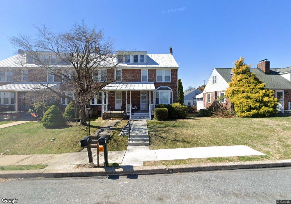
222 Pershing Blvd Reading, PA 19607
Liggett NeighborhoodEstimated Value: $192,000 - $246,000
3
Beds
1
Bath
1,068
Sq Ft
$199/Sq Ft
Est. Value
About This Home
This home is located at 222 Pershing Blvd, Reading, PA 19607 and is currently estimated at $212,150, approximately $198 per square foot. 222 Pershing Blvd is a home located in Berks County with nearby schools including Cumru Elementary School, Governor Mifflin Intermediate School, and Governor Mifflin Middle School.
Ownership History
Date
Name
Owned For
Owner Type
Purchase Details
Closed on
Aug 6, 2004
Sold by
Churchill Dean
Bought by
Raber James A
Current Estimated Value
Home Financials for this Owner
Home Financials are based on the most recent Mortgage that was taken out on this home.
Original Mortgage
$78,183
Outstanding Balance
$38,821
Interest Rate
6.02%
Mortgage Type
VA
Estimated Equity
$173,329
Create a Home Valuation Report for This Property
The Home Valuation Report is an in-depth analysis detailing your home's value as well as a comparison with similar homes in the area
Home Values in the Area
Average Home Value in this Area
Purchase History
| Date | Buyer | Sale Price | Title Company |
|---|---|---|---|
| Raber James A | $76,500 | -- |
Source: Public Records
Mortgage History
| Date | Status | Borrower | Loan Amount |
|---|---|---|---|
| Open | Raber James A | $78,183 |
Source: Public Records
Tax History
| Year | Tax Paid | Tax Assessment Tax Assessment Total Assessment is a certain percentage of the fair market value that is determined by local assessors to be the total taxable value of land and additions on the property. | Land | Improvement |
|---|---|---|---|---|
| 2025 | $1,010 | $56,600 | $17,300 | $39,300 |
| 2024 | $2,604 | $56,600 | $17,300 | $39,300 |
| 2023 | $2,531 | $56,600 | $17,300 | $39,300 |
| 2022 | $2,468 | $56,600 | $17,300 | $39,300 |
| 2021 | $2,419 | $56,600 | $17,300 | $39,300 |
| 2020 | $2,419 | $56,600 | $17,300 | $39,300 |
| 2019 | $2,389 | $56,600 | $17,300 | $39,300 |
| 2018 | $2,346 | $56,600 | $17,300 | $39,300 |
| 2017 | $2,301 | $56,600 | $17,300 | $39,300 |
| 2016 | $922 | $56,600 | $17,300 | $39,300 |
| 2015 | $904 | $56,600 | $17,300 | $39,300 |
| 2014 | $904 | $56,600 | $17,300 | $39,300 |
Source: Public Records
Map
Nearby Homes
- 1622 Meade St
- 8 Pershing Blvd
- 1428 Liggett Ave
- 1716 Liggett Ave
- 1432 Liggett Ave
- 311 Lynoak Ave
- 1336 Fern Ave
- 526 Harding Ave
- 204 High Blvd
- 1331 New Holland Rd
- 1375 Pershing Blvd Unit 201
- 1392 New Holland Rd
- 1504 Old Mill Rd
- 100 Brookline Pz
- 511 Grill Ave
- 641 Haig Blvd
- 1617 Meadowlark Rd
- 211 John Glenn Ave
- 225 Mcclellan St
- 1519 Meadowlark Rd
- 220 Pershing Blvd
- 218 Pershing Blvd
- 216 Pershing Blvd
- 214 Pershing Blvd
- 226 Pershing Blvd
- 210 Pershing Blvd
- 1614 Meade St
- 208 Pershing Blvd
- 206 Pershing Blvd
- 204 Pershing Blvd
- 1615 Gregg Ave
- 1618 Meade St
- 1617 Gregg Ave
- 302 Pershing Blvd
- 202 Pershing Blvd
- 225 Pershing Blvd
- 1625 Gregg Ave
- 1620 Meade St
- 304 Pershing Blvd
Your Personal Tour Guide
Ask me questions while you tour the home.