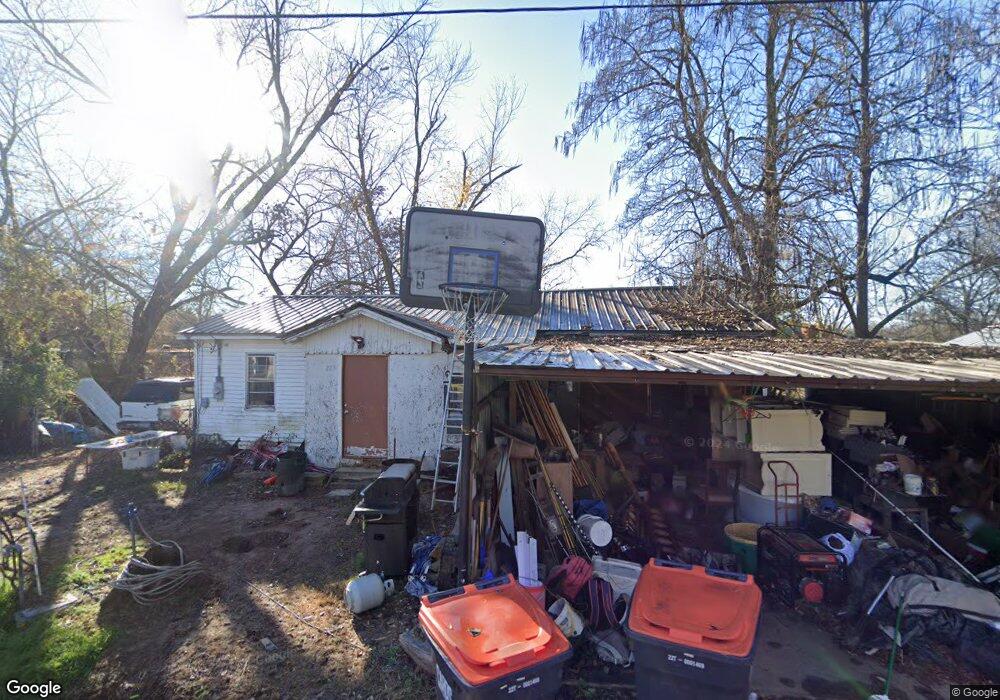
223 E Holman St Mulberry, AR 72947
Estimated Value: $75,000 - $142,000
Studio
1
Bath
1,386
Sq Ft
$73/Sq Ft
Est. Value
About This Home
This home is located at 223 E Holman St, Mulberry, AR 72947 and is currently estimated at $101,427, approximately $73 per square foot. 223 E Holman St is a home located in Crawford County with nearby schools including Marvin Primary School, Pleasant View Junior High School, and Mulberry High School.
Ownership History
Date
Name
Owned For
Owner Type
Purchase Details
Closed on
Jul 5, 2005
Sold by
Edger Lyn and Edger Bobby
Bought by
Fuller Teresa and Patterson Barbara
Current Estimated Value
Purchase Details
Closed on
May 6, 2004
Bought by
Higgins-Austin and Edger
Purchase Details
Closed on
Jul 18, 1999
Bought by
Williams-Higgins
Purchase Details
Closed on
Apr 28, 1999
Bought by
Williams-Higgins
Purchase Details
Closed on
Oct 24, 1997
Bought by
Williams-Williams
Create a Home Valuation Report for This Property
The Home Valuation Report is an in-depth analysis detailing your home's value as well as a comparison with similar homes in the area
Purchase History
| Date | Buyer | Sale Price | Title Company |
|---|---|---|---|
| Fuller Teresa | $32,000 | None Available | |
| Higgins-Austin | $24,000 | -- | |
| Williams-Higgins | $30,000 | -- | |
| Williams-Higgins | $30,000 | -- | |
| Williams-Williams | -- | -- |
Source: Public Records
Tax History
| Year | Tax Paid | Tax Assessment Tax Assessment Total Assessment is a certain percentage of the fair market value that is determined by local assessors to be the total taxable value of land and additions on the property. | Land | Improvement |
|---|---|---|---|---|
| 2025 | -- | $13,330 | $1,500 | $11,830 |
| 2024 | $5 | $13,330 | $1,500 | $11,830 |
| 2023 | $5 | $13,330 | $1,500 | $11,830 |
| 2022 | $16 | $7,490 | $1,500 | $5,990 |
| 2021 | $15 | $7,490 | $1,500 | $5,990 |
| 2020 | $15 | $7,490 | $1,500 | $5,990 |
| 2019 | $15 | $7,490 | $1,500 | $5,990 |
| 2018 | $15 | $7,490 | $1,500 | $5,990 |
| 2017 | $13 | $7,750 | $1,500 | $6,250 |
| 2016 | $363 | $7,750 | $1,500 | $6,250 |
| 2015 | $363 | $7,750 | $1,500 | $6,250 |
| 2014 | $363 | $7,750 | $1,500 | $6,250 |
Source: Public Records
Map
Nearby Homes
- 738 N Main St
- 904 Alma Ave
- 8 W 10th St
- 210 W 2nd St
- 5527 Wire Rd
- TBD (lot 29) Keystone Dr
- TBD (lot 30) Keystone Dr
- 2150 Old Graphic St
- TBD Beth Lynn Dr
- 10117 Beth Lynn Rd
- TBD Exsorbet Dr
- 3032 King Dr
- 10119 Beth Lynn Rd
- 6839 U S 64
- 10110 Booth Rd
- 8761 Slate Hill Rd
- 0 Tbd White Oak
- TBD Goff Cir
- 0 Goff Cir
- 14716 Oakleaf Rd
- 217 E Holman St
- 607 Mulberry Ave
- 226 E Holman St
- 230 E Holman St
- Rt 1 Mulberry - Bx 454
- 204 E Holman St
- 0 Mulberry
- 625 Carter Ave
- 619 Carter Ave
- 128 E Holman St
- 221 Mulberry Highway 64 E
- 207 E 7th
- 126 Highway 64 E
- 121 E Holman St
- 215 Mulberry Highway 64 E
- 133 Mulberry Highway 64 E
- 544 Carter St
- 115 E Holman St
- 121 E 7th St
- 114 E Holman St
Your Personal Tour Guide
Ask me questions while you tour the home.