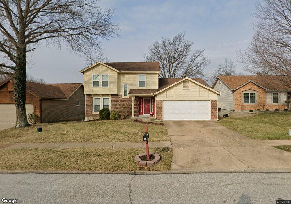
223 Jacob Ln Ballwin, MO 63021
Estimated Value: $351,755 - $391,000
3
Beds
3
Baths
1,596
Sq Ft
$235/Sq Ft
Est. Value
About This Home
This home is located at 223 Jacob Ln, Ballwin, MO 63021 and is currently estimated at $374,689, approximately $234 per square foot. 223 Jacob Ln is a home located in St. Louis County with nearby schools including Ballwin Elementary School, Selvidge Middle School, and Marquette Sr. High School.
Ownership History
Date
Name
Owned For
Owner Type
Purchase Details
Closed on
Apr 24, 1997
Sold by
Associates Relocation Management Co Inc
Bought by
Mugerfeld Feliks S and Mugerfeld Rimma
Current Estimated Value
Home Financials for this Owner
Home Financials are based on the most recent Mortgage that was taken out on this home.
Original Mortgage
$136,800
Interest Rate
7.72%
Purchase Details
Closed on
Apr 21, 1997
Sold by
Lutz Paul E and Lutz Erin P
Bought by
Associates Relocation Management Co Inc
Home Financials for this Owner
Home Financials are based on the most recent Mortgage that was taken out on this home.
Original Mortgage
$136,800
Interest Rate
7.72%
Create a Home Valuation Report for This Property
The Home Valuation Report is an in-depth analysis detailing your home's value as well as a comparison with similar homes in the area
Home Values in the Area
Average Home Value in this Area
Purchase History
| Date | Buyer | Sale Price | Title Company |
|---|---|---|---|
| Mugerfeld Feliks S | -- | First American Title Ins Co | |
| Associates Relocation Management Co Inc | -- | -- |
Source: Public Records
Mortgage History
| Date | Status | Borrower | Loan Amount |
|---|---|---|---|
| Previous Owner | Mugerfeld Feliks S | $136,800 |
Source: Public Records
Tax History
| Year | Tax Paid | Tax Assessment Tax Assessment Total Assessment is a certain percentage of the fair market value that is determined by local assessors to be the total taxable value of land and additions on the property. | Land | Improvement |
|---|---|---|---|---|
| 2025 | $3,974 | $61,710 | $26,260 | $35,450 |
| 2024 | $3,974 | $56,750 | $14,570 | $42,180 |
| 2023 | $3,971 | $56,750 | $14,570 | $42,180 |
| 2022 | $3,662 | $48,580 | $17,500 | $31,080 |
| 2021 | $3,635 | $48,580 | $17,500 | $31,080 |
| 2020 | $3,661 | $46,650 | $17,500 | $29,150 |
| 2019 | $3,676 | $46,650 | $17,500 | $29,150 |
| 2018 | $3,333 | $39,860 | $13,130 | $26,730 |
| 2016 | $3,146 | $37,050 | $13,130 | $23,920 |
Source: Public Records
Map
Nearby Homes
- 847 Palm Bay Dr
- 857 Village Meadow Dr
- 1319 Oak Borough Dr
- 279 Aspen Village Dr
- 325 Fox Village Ct
- 217 Carmel Woods Dr Unit 217
- 589 Wetherby Terrace Dr
- 1396 Parkview Estates Dr
- 839 Lilybud Ct Unit 5A
- 835 Lilybud Ct Unit 5C
- 842 Wendevy Ct
- 832 Wendevy Ct Unit 8B
- 634 Parker Dr
- 439 Chukker Valley
- 845 Wendevy Ct Unit 12B
- 815 Wendevy Ct Unit 16B
- 713 Village Wood Ct
- 318 Statewood Dr
- 140 Burtonwood Dr
- 131 Romine Cir
- 227 Jacob Ln
- 219 Jacob Ln
- 226 Brookmont Farm Ct
- 222 Brookmont Farm Ct
- 231 Jacob Ln
- 215 Jacob Ln
- 218 Brookmont Farm Ct
- 222 Jacob Ln
- 214 Brookmont Farm Ct
- 226 Jacob Ln
- 218 Jacob Ln
- 230 Brookmont Farm Ct
- 211 Jacob Ln
- 235 Jacob Ln
- 230 Jacob Ln
- 212 Jacob Ln
- 210 Brookmont Farm Ct
- 239 Jacob Ln
- 235 Brookmont Farm Ct
- 207 Jacob Ln
Your Personal Tour Guide
Ask me questions while you tour the home.