223 Stepp Rd Epworth, GA 30541
Estimated Value: $262,084 - $513,000
About This Home
This home is located at 223 Stepp Rd, Epworth, GA 30541 and is currently estimated at $367,771, approximately $407 per square foot. 223 Stepp Rd is a home located in Fannin County with nearby schools including Fannin County High School.
Ownership History
We collect this data history from publicly available records. To have your information removed, we recommend requesting removal directly through your county’s website.
Purchase Details
Home Financials for this Owner
Home Financials are based on the most recent Mortgage that was taken out on this home.Purchase Details
Purchase Details
Purchase Details
Purchase Details
Purchase Details
Home Values in the Area
Average Home Value in this Area
Purchase History
We collect this data history from publicly available records. To have your information removed, we recommend requesting removal directly through your county’s website.
| Date | Buyer | Sale Price | Title Company |
|---|---|---|---|
| $74,300 | -- | ||
| -- | -- | ||
| $52,000 | -- | ||
| $38,000 | -- | ||
| $1,000 | -- | ||
| $51,900 | -- | ||
| -- | -- |
Mortgage History
We collect this data history from publicly available records. To have your information removed, we recommend requesting removal directly through your county’s website.
| Date | Status | Borrower | Loan Amount |
|---|---|---|---|
| Open | $75,816 |
Tax History
We collect this data history from publicly available records. To have your information removed, we recommend requesting removal directly through your county’s website.
| Year | Tax Paid | Tax Assessment Tax Assessment Total Assessment is a certain percentage of the fair market value that is determined by local assessors to be the total taxable value of land and additions on the property. | Land | Improvement |
|---|---|---|---|---|
| 2025 | $719 | $79,284 | $10,395 | $68,889 |
| 2024 | $7 | $79,284 | $10,395 | $68,889 |
| 2023 | $681 | $66,835 | $10,395 | $56,440 |
| 2022 | $690 | $67,655 | $10,395 | $57,260 |
| 2021 | $605 | $43,175 | $10,395 | $32,780 |
| 2020 | $615 | $43,175 | $10,395 | $32,780 |
| 2019 | $627 | $43,175 | $10,395 | $32,780 |
| 2018 | $631 | $40,965 | $8,185 | $32,780 |
| 2017 | $889 | $50,225 | $8,185 | $42,040 |
| 2016 | $501 | $29,515 | $8,185 | $21,330 |
| 2015 | $527 | $29,800 | $8,185 | $21,614 |
| 2014 | $487 | $32,479 | $8,702 | $23,778 |
| 2013 | -- | $22,216 | $8,701 | $13,514 |
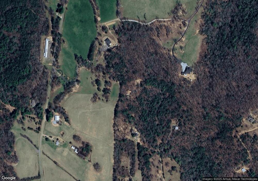
Map
- 1099 Lickskillet Cir
- 1824 Colwell Rd
- 14.36 AC Night Ln
- 332 Night Ln
- 390 Sunny Brook Rd
- 138 Cottonwood Ln
- 136 Oasis Dr
- 267 Oasis Dr
- 206 Sunny Brook Rd
- 357 Mystic Ln
- 164 Waterdance Trail
- 111 Candlewood Ln
- 150 Cadence Way
- 98 Saddle Back Trail
- 811 Magnums Trail
- Lot 13 Mangums Trail
- 450 Miracle Ln
- 184 Spence Rd
- 22.5 ac Highway 2
- 22.5 ac Highway 2 Unit TR 6
- 224 Stepp Rd
- 214 Stepp Rd
- 1598 Lickskillet Cir
- 188 Paul Dr
- 2515 Lebanon Rd
- 0 Lebanon Road 32 92ac
- 2704 Lebanon Rd
- 2967 Lebanon Rd
- 1594 Lickskillet Cir
- 41 Stepp Rd
- 1424 Lickskillet Cir
- 2935 Lebanon Rd
- 2965 Lebanon Rd
- 2967 Lebanon Rd
- 2351 Lebanon Rd
- 1616 Lickskillet Cir
- 2480 Lebanon Rd
- 200 Willis Ridge
- 1333 Lickskillet Cir
- 0 Lickskillet Cir
Ask me questions while you tour the home.