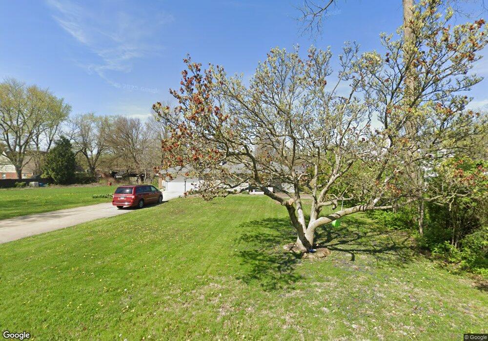
223 Tower Rd Anderson, IN 46011
Estimated Value: $179,000 - $232,000
3
Beds
2
Baths
1,393
Sq Ft
$149/Sq Ft
Est. Value
About This Home
This home is located at 223 Tower Rd, Anderson, IN 46011 and is currently estimated at $207,535, approximately $148 per square foot. 223 Tower Rd is a home located in Madison County with nearby schools including Edgewood Elementary School, Highland Middle School, and Anderson High School.
Ownership History
Date
Name
Owned For
Owner Type
Purchase Details
Closed on
Jul 18, 2022
Sold by
Claire Wilhite
Bought by
Miller Todd A and Miller Claire A
Current Estimated Value
Purchase Details
Closed on
Apr 16, 2020
Sold by
Armington Julie
Bought by
Wilhite Claire and Miller Todd A
Home Financials for this Owner
Home Financials are based on the most recent Mortgage that was taken out on this home.
Original Mortgage
$140,114
Interest Rate
3.62%
Mortgage Type
FHA
Purchase Details
Closed on
Apr 30, 2007
Sold by
Clem Jean
Bought by
Armington Julie
Create a Home Valuation Report for This Property
The Home Valuation Report is an in-depth analysis detailing your home's value as well as a comparison with similar homes in the area
Home Values in the Area
Average Home Value in this Area
Purchase History
| Date | Buyer | Sale Price | Title Company |
|---|---|---|---|
| Miller Todd A | -- | None Listed On Document | |
| Wilhite Claire | -- | Rowland Title | |
| Armington Julie | -- | -- |
Source: Public Records
Mortgage History
| Date | Status | Borrower | Loan Amount |
|---|---|---|---|
| Previous Owner | Wilhite Claire | $140,114 |
Source: Public Records
Tax History
| Year | Tax Paid | Tax Assessment Tax Assessment Total Assessment is a certain percentage of the fair market value that is determined by local assessors to be the total taxable value of land and additions on the property. | Land | Improvement |
|---|---|---|---|---|
| 2025 | $1,559 | $148,100 | $18,500 | $129,600 |
| 2024 | $1,559 | $142,700 | $18,500 | $124,200 |
| 2023 | $1,448 | $132,200 | $17,600 | $114,600 |
| 2022 | $1,487 | $134,400 | $17,300 | $117,100 |
| 2021 | $2,802 | $124,400 | $17,100 | $107,300 |
| 2020 | $766 | $85,000 | $16,300 | $68,700 |
| 2019 | $1,097 | $83,100 | $16,300 | $66,800 |
| 2018 | $644 | $76,800 | $16,300 | $60,500 |
| 2017 | $497 | $69,600 | $15,000 | $54,600 |
| 2016 | $583 | $77,900 | $15,000 | $62,900 |
| 2014 | $513 | $76,700 | $15,000 | $61,700 |
| 2013 | $513 | $78,600 | $15,000 | $63,600 |
Source: Public Records
Map
Nearby Homes
- 34 Colony Rd
- 708 Washington Ct
- 1236 Park Rd
- 204 S Creedmoor Way
- 223 Somerville Rd
- 3519 Oakwood Dr
- 15 S Creedmoor Way
- 2116 Manger Ln
- 1820 Euclid Dr
- 807 Bittersweet Ln
- 1117 Balfour Rd
- 4779 W Lincoln Rd
- 2502 Horton Dr
- 1008 Malibu Dr
- 2418 W 18th St
- 1423 Fountain St
- 2230 W 8th St
- 2511 Winterwood Ln
- 2525 Winterwood Ln
- 2519 Winterwood Ln
Your Personal Tour Guide
Ask me questions while you tour the home.