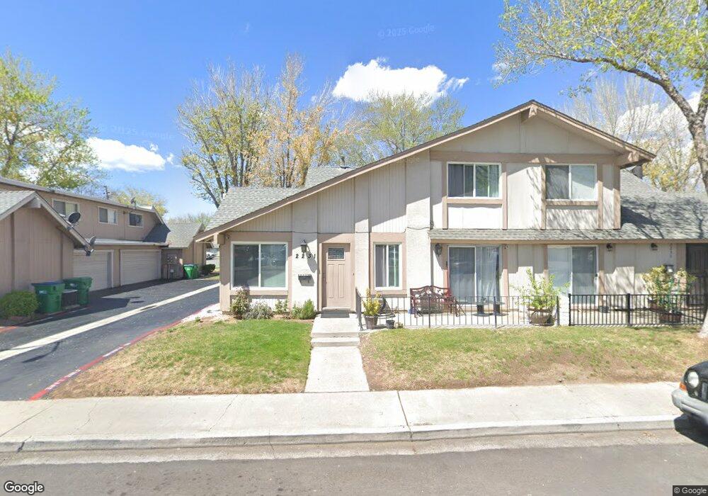
2235 Rock Blvd Sparks, NV 89431
North Rock NeighborhoodEstimated Value: $270,000 - $303,240
3
Beds
2
Baths
1,247
Sq Ft
$234/Sq Ft
Est. Value
About This Home
This home is located at 2235 Rock Blvd, Sparks, NV 89431 and is currently estimated at $292,060, approximately $234 per square foot. 2235 Rock Blvd is a home located in Washoe County with nearby schools including Alice Maxwell Elementary School, Sparks Middle School, and Sparks High School.
Ownership History
Date
Name
Owned For
Owner Type
Purchase Details
Closed on
Jul 15, 1999
Sold by
Friedrich Larry and Friedrich Florence P
Bought by
Zito Dominic A
Current Estimated Value
Home Financials for this Owner
Home Financials are based on the most recent Mortgage that was taken out on this home.
Original Mortgage
$83,943
Outstanding Balance
$22,536
Interest Rate
7.51%
Mortgage Type
FHA
Estimated Equity
$269,524
Create a Home Valuation Report for This Property
The Home Valuation Report is an in-depth analysis detailing your home's value as well as a comparison with similar homes in the area
Home Values in the Area
Average Home Value in this Area
Purchase History
| Date | Buyer | Sale Price | Title Company |
|---|---|---|---|
| Zito Dominic A | $84,500 | Western Title Company Inc |
Source: Public Records
Mortgage History
| Date | Status | Borrower | Loan Amount |
|---|---|---|---|
| Open | Zito Dominic A | $83,943 |
Source: Public Records
Tax History
| Year | Tax Paid | Tax Assessment Tax Assessment Total Assessment is a certain percentage of the fair market value that is determined by local assessors to be the total taxable value of land and additions on the property. | Land | Improvement |
|---|---|---|---|---|
| 2026 | $638 | $41,856 | $25,900 | $15,956 |
| 2024 | $767 | $41,667 | $25,865 | $15,802 |
| 2023 | $767 | $38,322 | $24,675 | $13,647 |
| 2022 | $710 | $30,016 | $18,480 | $11,536 |
| 2021 | $690 | $25,079 | $13,090 | $11,989 |
| 2020 | $647 | $25,544 | $13,055 | $12,489 |
| 2019 | $628 | $24,120 | $11,550 | $12,570 |
| 2018 | $599 | $20,309 | $7,630 | $12,679 |
| 2017 | $575 | $19,761 | $6,895 | $12,866 |
| 2016 | $561 | $18,968 | $5,530 | $13,438 |
| 2015 | $559 | $18,368 | $4,340 | $14,028 |
| 2014 | $542 | $17,172 | $3,465 | $13,707 |
| 2013 | -- | $14,550 | $2,380 | $12,170 |
Source: Public Records
Map
Nearby Homes
- 2295 Rock Blvd
- 1544 Chester Square
- 2274 Oppio St
- 2116 Oppio St
- 2153 Oppio St
- 1695 Zephyr Way
- 1655 Byrd Dr
- 1125 Dodson Way
- 1885 18th St
- 1023 Tyler Way
- 1585 Greenbrae Dr
- 1265 Greenbrae Dr
- 1536 Oxford Ave
- 1250 Oxford Ave
- 3214 Valley Forge Way
- 2520 Nelson Way
- 3222 Bunker Hill Ln
- 2475 Stine Way
- 1536 Irene Way
- 1045 Adrian Way
- 2237 Rock Blvd
- 2231 Rock Blvd
- 2233 Rock Blvd
- 1536 Chester Square
- 2173 Rock Blvd
- 2265 Rock Blvd
- 2177 Rock Blvd
- 2175 Rock Blvd
- 2175 Rock Blvd
- 1534 Chester Square
- 2261 Rock Blvd
- 2171 Rock Blvd
- 1532 Chester Square
- 2263 Rock Blvd
- 1530 Chester Square Unit Chester
- 1530 Chester Square
- 1548 Chester Square
- 2294 Oppio St
- 2290 Oppio St
- 1546 Chester Square
Your Personal Tour Guide
Ask me questions while you tour the home.