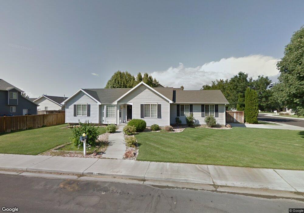
2236 W 390 N Provo, UT 84601
Lakeview NeighborhoodEstimated Value: $450,316 - $494,000
3
Beds
2
Baths
1,489
Sq Ft
$311/Sq Ft
Est. Value
About This Home
This home is located at 2236 W 390 N, Provo, UT 84601 and is currently estimated at $463,579, approximately $311 per square foot. 2236 W 390 N is a home located in Utah County with nearby schools including Dixon Middle School, Provo High School, and Freedom Preparatory Academy.
Ownership History
Date
Name
Owned For
Owner Type
Purchase Details
Closed on
Jun 29, 2015
Sold by
Canfield Russ
Bought by
The Carole Lee Hoffman Agreement Trust and Hoffman Michael
Current Estimated Value
Purchase Details
Closed on
Jan 28, 2004
Sold by
Moore Cheryl
Bought by
Canfield Russ
Purchase Details
Closed on
Dec 14, 1999
Sold by
Eady Darren Lamont and Eady Sarah Reeves
Bought by
Moore Cheryl
Home Financials for this Owner
Home Financials are based on the most recent Mortgage that was taken out on this home.
Original Mortgage
$115,100
Interest Rate
7.82%
Create a Home Valuation Report for This Property
The Home Valuation Report is an in-depth analysis detailing your home's value as well as a comparison with similar homes in the area
Home Values in the Area
Average Home Value in this Area
Purchase History
| Date | Buyer | Sale Price | Title Company |
|---|---|---|---|
| The Carole Lee Hoffman Agreement Trust | -- | Access Title Co | |
| Canfield Russ | -- | Access Title Company | |
| Moore Cheryl | -- | Titlewriters Inc |
Source: Public Records
Mortgage History
| Date | Status | Borrower | Loan Amount |
|---|---|---|---|
| Previous Owner | Moore Cheryl | $115,100 |
Source: Public Records
Tax History
| Year | Tax Paid | Tax Assessment Tax Assessment Total Assessment is a certain percentage of the fair market value that is determined by local assessors to be the total taxable value of land and additions on the property. | Land | Improvement |
|---|---|---|---|---|
| 2025 | $2,197 | $227,920 | -- | -- |
| 2024 | $2,197 | $216,260 | $0 | $0 |
| 2023 | $2,137 | $207,405 | $0 | $0 |
| 2022 | $2,191 | $214,335 | $0 | $0 |
| 2021 | $1,709 | $291,600 | $92,700 | $198,900 |
| 2020 | $1,657 | $265,100 | $84,300 | $180,800 |
| 2019 | $1,516 | $252,200 | $84,300 | $167,900 |
| 2018 | $1,344 | $226,800 | $80,800 | $146,000 |
| 2017 | $1,243 | $115,225 | $0 | $0 |
| 2016 | $1,174 | $101,420 | $0 | $0 |
| 2015 | $1,018 | $88,880 | $0 | $0 |
| 2014 | $931 | $84,755 | $0 | $0 |
Source: Public Records
Map
Nearby Homes
- 483 N 2430 W
- 2507 W 520 N
- 579 N Geneva Rd
- 213 N Geneva Rd
- 154 N 2560 W
- 255 N 1600 W Unit 148
- 255 N 1600 W Unit 108
- 255 N 1600 W Unit 94
- 255 N 1600 W Unit 73
- 2684 W 220 N
- 112 S 2120 W
- 1903 W 890 N
- 2855 W 230 N
- 2471 W 180 S
- 2424 W 230 S
- 146 S 1860 W
- 927 Independence Ave
- 1631 W 50 N
- 962 Independence Ave
- 925 N 1760 W
Your Personal Tour Guide
Ask me questions while you tour the home.