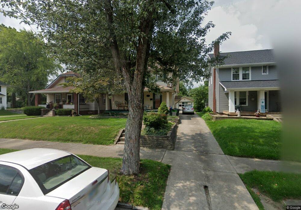
2237 Shunk Ave Alliance, OH 44601
Estimated Value: $135,000 - $168,000
3
Beds
2
Baths
1,320
Sq Ft
$112/Sq Ft
Est. Value
About This Home
This home is located at 2237 Shunk Ave, Alliance, OH 44601 and is currently estimated at $147,644, approximately $111 per square foot. 2237 Shunk Ave is a home located in Stark County with nearby schools including Alliance Elementary School at Rockhill, Alliance Intermediate School at Northside, and Alliance Middle School.
Ownership History
Date
Name
Owned For
Owner Type
Purchase Details
Closed on
Nov 15, 2022
Sold by
Schneller Peter Loomis
Bought by
Schneller Andrew A and Battershell Taylor
Current Estimated Value
Purchase Details
Closed on
Aug 6, 1998
Sold by
Kimble Nancy J
Bought by
Schneller Peter L
Purchase Details
Closed on
Oct 18, 1990
Purchase Details
Closed on
Dec 28, 1988
Purchase Details
Closed on
Aug 8, 1988
Create a Home Valuation Report for This Property
The Home Valuation Report is an in-depth analysis detailing your home's value as well as a comparison with similar homes in the area
Home Values in the Area
Average Home Value in this Area
Purchase History
We collect this data history from publicly available records. To have your information removed, we recommend requesting removal directly through your county’s website.
| Date | Buyer | Sale Price | Title Company |
|---|---|---|---|
| Schneller Andrew A | $109,000 | None Listed On Document | |
| Schneller Peter L | $80,000 | -- | |
| -- | $46,000 | -- | |
| -- | $29,000 | -- | |
| -- | $30,700 | -- |
Source: Public Records
Tax History
| Year | Tax Paid | Tax Assessment Tax Assessment Total Assessment is a certain percentage of the fair market value that is determined by local assessors to be the total taxable value of land and additions on the property. | Land | Improvement |
|---|---|---|---|---|
| 2025 | -- | $36,330 | $7,910 | $28,420 |
| 2024 | -- | $36,330 | $7,910 | $28,420 |
| 2023 | $1,321 | $32,870 | $6,130 | $26,740 |
| 2022 | $674 | $25,420 | $6,130 | $19,290 |
| 2021 | $675 | $25,420 | $6,130 | $19,290 |
| 2020 | $589 | $22,330 | $5,320 | $17,010 |
| 2019 | $954 | $22,330 | $5,320 | $17,010 |
| 2018 | $959 | $22,330 | $5,320 | $17,010 |
| 2017 | $856 | $19,610 | $4,940 | $14,670 |
| 2016 | $830 | $18,870 | $4,940 | $13,930 |
| 2015 | $838 | $18,870 | $4,940 | $13,930 |
| 2014 | $801 | $17,190 | $4,520 | $12,670 |
| 2013 | $400 | $17,190 | $4,520 | $12,670 |
Source: Public Records
Map
Nearby Homes
- 2144 Ridgewood Ave
- 2616 Ridgewood Ave
- 2626 Shunk Ave
- 2625 Belleflower Dr
- 2145 Cherry Ave
- 2135 Cherry Ave
- 392 Maplewood Dr
- 2520 Pleasant Place
- 421 Linwood Dr
- 1539 Parkway Blvd
- 2435 Eastern Ave
- 1120 W Milton St
- 1794 Lilly Ln
- 1038 Vincent Blvd
- 2540 Edgewood Ave
- 3116 Ridgehill Ave
- 622 Overlook Dr
- 2580 Edgewood Ave
- 2206 S Linden Ave
- 705 Overlook Dr
- 2245 Shunk Ave
- 2233 Shunk Ave
- 2221 Shunk Ave
- 2248 Belleflower Dr
- 2305 Shunk Ave
- 2236 Belleflower Dr
- 2211 Shunk Ave
- 2246 Shunk Ave
- 2325 Shunk Ave
- 2234 Shunk Ave
- 2205 Shunk Ave
- 2306 Belleflower Dr
- 2304 Shunk Ave
- 2333 Shunk Ave
- 2222 Shunk Ave
- 2224 Belleflower Dr
- 2324 Shunk Ave
- 2208 Shunk Ave
- 2343 Shunk Ave
- 2349 Shunk Ave
Your Personal Tour Guide
Ask me questions while you tour the home.