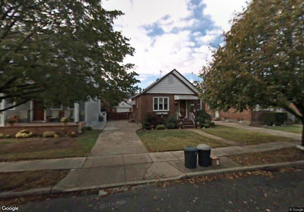
224 Rintin St Franklin Square, NY 11010
Estimated Value: $603,516 - $698,000
Studio
1
Bath
935
Sq Ft
$696/Sq Ft
Est. Value
About This Home
This home is located at 224 Rintin St, Franklin Square, NY 11010 and is currently estimated at $650,758, approximately $695 per square foot. 224 Rintin St is a home located in Nassau County with nearby schools including Hebrew Academy of Nassau County (HANC).
Ownership History
Date
Name
Owned For
Owner Type
Purchase Details
Closed on
Jan 17, 2007
Sold by
Hilbert Lawrence
Bought by
Oconnor Timothy
Current Estimated Value
Purchase Details
Closed on
Apr 11, 2003
Sold by
Hilbert Lawrence
Purchase Details
Closed on
Jul 27, 1999
Sold by
Jabusch Tanya and Twik Michael S
Bought by
Hilbert Lawrence E
Home Financials for this Owner
Home Financials are based on the most recent Mortgage that was taken out on this home.
Original Mortgage
$161,500
Interest Rate
7.54%
Mortgage Type
Purchase Money Mortgage
Create a Home Valuation Report for This Property
The Home Valuation Report is an in-depth analysis detailing your home's value as well as a comparison with similar homes in the area
Home Values in the Area
Average Home Value in this Area
Purchase History
We collect this data history from publicly available records. To have your information removed, we recommend requesting removal directly through your county’s website.
| Date | Buyer | Sale Price | Title Company |
|---|---|---|---|
| Oconnor Timothy | $400,000 | -- | |
| -- | -- | -- | |
| Hilbert Lawrence E | $170,000 | -- |
Source: Public Records
Mortgage History
We collect this data history from publicly available records. To have your information removed, we recommend requesting removal directly through your county’s website.
| Date | Status | Borrower | Loan Amount |
|---|---|---|---|
| Previous Owner | Hilbert Lawrence E | $161,500 |
Source: Public Records
Tax History
| Year | Tax Paid | Tax Assessment Tax Assessment Total Assessment is a certain percentage of the fair market value that is determined by local assessors to be the total taxable value of land and additions on the property. | Land | Improvement |
|---|---|---|---|---|
| 2025 | $9,630 | $438 | $255 | $183 |
| 2024 | $3,892 | $438 | $255 | $183 |
| 2023 | $8,314 | $438 | $255 | $183 |
| 2022 | $8,314 | $438 | $255 | $183 |
| 2021 | $10,477 | $430 | $250 | $180 |
| 2020 | $8,122 | $551 | $515 | $36 |
| 2019 | $7,586 | $551 | $381 | $170 |
| 2018 | $7,113 | $744 | $0 | $0 |
| 2017 | $5,154 | $744 | $515 | $229 |
| 2016 | $8,938 | $744 | $515 | $229 |
| 2015 | $3,536 | $744 | $515 | $229 |
| 2014 | $3,536 | $744 | $515 | $229 |
| 2013 | $3,305 | $744 | $515 | $229 |
Source: Public Records
Map
Nearby Homes
- 166 Commonwealth St
- 232 Ribbon St
- 249 Grange St
- 131 Grange St
- 248 Fendale St
- 174 Semton Blvd
- 263 James St
- 238 James St
- 292 Madison St
- 163 Hoffman St
- 128 Rule St
- 646 Benris Ave
- 594 Fenworth Blvd
- 582 Western Park Dr
- 969 Gabriel Ave
- 1004 Wool Ave
- 62 Poppy Ave
- 372 Madison St
- 938 Van Buren Ave
- 29 Baldwin Dr
- 207 Commonwealth St
- 211 Commonwealth St
- 203 Commonwealth St
- 215 Commonwealth St
- 197 Commonwealth St
- 208 Rintin St
- 204 Rintin St
- 212 Rintin St
- 219 Commonwealth St
- 198 Rintin St
- 216 Rintin St
- 208 Commonwealth St
- 204 Commonwealth St
- 212 Commonwealth St
- 220 Rintin St
- 198 Commonwealth St
- 225 Commonwealth St
- 218 Commonwealth St
- 784 Fenworth Blvd
- 790 Fenworth Blvd
Your Personal Tour Guide
Ask me questions while you tour the home.