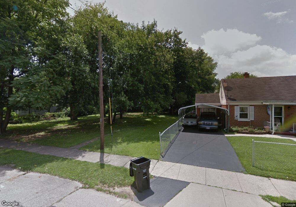
225 Hunsford St Cincinnati, OH 45216
Hartwell NeighborhoodEstimated Value: $130,000 - $259,000
About This Home
This home is located at 225 Hunsford St, Cincinnati, OH 45216 and is currently estimated at $195,838, approximately $148 per square foot. 225 Hunsford St is a home located in Hamilton County with nearby schools including Rising Stars at Carthage, Hartwell School, and Shroder High School.
Ownership History
We collect this data history from publicly available records. To have your information removed, we recommend requesting removal directly through your county’s website.
Purchase Details
Home Financials for this Owner
Home Financials are based on the most recent Mortgage that was taken out on this home.Purchase Details
Purchase Details
Home Values in the Area
Average Home Value in this Area
Purchase History
We collect this data history from publicly available records. To have your information removed, we recommend requesting removal directly through your county’s website.
| Date | Buyer | Sale Price | Title Company |
|---|---|---|---|
| -- | None Available | ||
| -- | Multi State Title Agency | ||
| -- | None Available |
Mortgage History
We collect this data history from publicly available records. To have your information removed, we recommend requesting removal directly through your county’s website.
| Date | Status | Borrower | Loan Amount |
|---|---|---|---|
| Open | $100,018 | ||
| Closed | $20,000 | ||
| Closed | $7,981 |
Tax History
We collect this data history from publicly available records. To have your information removed, we recommend requesting removal directly through your county’s website.
| Year | Tax Paid | Tax Assessment Tax Assessment Total Assessment is a certain percentage of the fair market value that is determined by local assessors to be the total taxable value of land and additions on the property. | Land | Improvement |
|---|---|---|---|---|
| 2025 | $284 | $55,468 | $4,410 | $51,058 |
| 2023 | $281 | $55,468 | $4,410 | $51,058 |
| 2022 | $305 | $37,801 | $4,309 | $33,492 |
| 2021 | $291 | $37,801 | $4,309 | $33,492 |
| 2020 | $299 | $37,801 | $4,309 | $33,492 |
| 2019 | $313 | $35,000 | $3,990 | $31,010 |
| 2018 | $313 | $0 | $0 | $0 |
| 2017 | $0 | $0 | $0 | $0 |
Map
- 276 Kearney St
- 8421 Wiswell St
- 156 Parkway Ave
- 92 Sheehan Ave
- 8155 Anthony Wayne Ave
- 115 E Mills Ave
- 19 Parkway Ave
- 345 Durrell Ave
- 29 Hartwell Ct
- 29 Hartwell Ct
- 10 Hartwell Ct
- 8318 Marley St
- 522 Elliott Ave
- 529 Elliott Ave
- 142 S Grove Ave
- 8084 Stillwell Rd
- 148 Burns Ave
- 1582 Crest Hill Ave
- 164 S Grove Ave
- 7 De Camp Ave
- 229 Hunsford St
- 223 Hunsford St
- 233 Hunsford St
- 237 Hunsford St
- 230 Hartwell Ave
- 226 Hartwell Ave
- 234 Hartwell Ave
- 8331 Wiswell St
- 238 Hartwell Ave
- 8334 Wiswell St
- 241 Hunsford St
- 244 Hartwell Ave
- 248 Hartwell Ave
- 8335 Wiswell St
- 222 Hartwell Ave
- 8315 Curzon Ave
- 8338 Wiswell St
- 8319 Curzon Ave
- 8332 Woodbine Ave
- 8341 Wiswell St
Ask me questions while you tour the home.