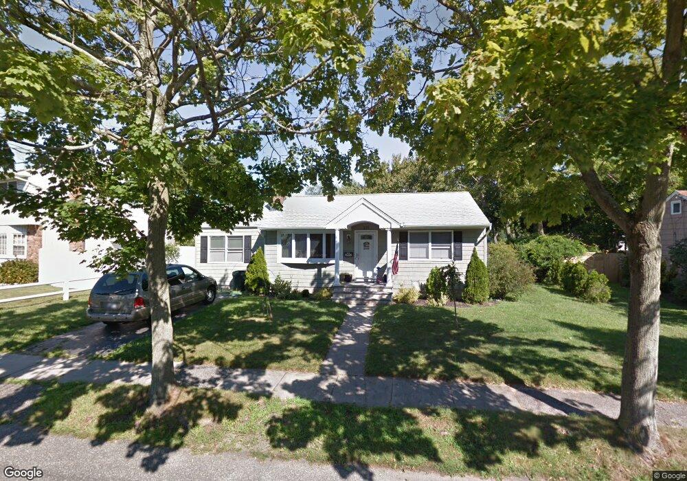
225 Locust Ave Babylon, NY 11702
Estimated Value: $587,774 - $670,000
2
Beds
1
Bath
1,207
Sq Ft
$518/Sq Ft
Est. Value
About This Home
This home is located at 225 Locust Ave, Babylon, NY 11702 and is currently estimated at $625,444, approximately $518 per square foot. 225 Locust Ave is a home located in Suffolk County with nearby schools including Babylon Memorial Grade School, Babylon Elementary School, and Babylon High School.
Ownership History
Date
Name
Owned For
Owner Type
Purchase Details
Closed on
Mar 3, 2020
Sold by
Weber Dale
Bought by
Bosco Joshn and Bosco Cathy
Current Estimated Value
Home Financials for this Owner
Home Financials are based on the most recent Mortgage that was taken out on this home.
Original Mortgage
$320,000
Outstanding Balance
$282,865
Interest Rate
3.4%
Mortgage Type
New Conventional
Estimated Equity
$342,579
Purchase Details
Closed on
Oct 5, 2006
Sold by
Dumonceau Eleanor
Bought by
Weber Dale
Purchase Details
Closed on
Sep 4, 2002
Sold by
Dumonceau Eleanor A
Bought by
Dumonceau Eleanor A
Create a Home Valuation Report for This Property
The Home Valuation Report is an in-depth analysis detailing your home's value as well as a comparison with similar homes in the area
Home Values in the Area
Average Home Value in this Area
Purchase History
| Date | Buyer | Sale Price | Title Company |
|---|---|---|---|
| Bosco Joshn | $425,000 | None Available | |
| Weber Dale | $375,000 | James Osgood | |
| Dumonceau Eleanor A | -- | First American Title Ins Co |
Source: Public Records
Mortgage History
| Date | Status | Borrower | Loan Amount |
|---|---|---|---|
| Open | Bosco Joshn | $320,000 |
Source: Public Records
Tax History
| Year | Tax Paid | Tax Assessment Tax Assessment Total Assessment is a certain percentage of the fair market value that is determined by local assessors to be the total taxable value of land and additions on the property. | Land | Improvement |
|---|---|---|---|---|
| 2024 | $11,882 | $3,210 | $310 | $2,900 |
| 2023 | $10,557 | $3,210 | $310 | $2,900 |
| 2022 | $9,547 | $3,210 | $310 | $2,900 |
| 2021 | $9,547 | $3,210 | $310 | $2,900 |
| 2020 | $11,073 | $3,210 | $310 | $2,900 |
| 2019 | $11,050 | $0 | $0 | $0 |
| 2018 | $9,591 | $3,210 | $310 | $2,900 |
| 2017 | $9,591 | $3,210 | $310 | $2,900 |
| 2016 | $9,489 | $3,210 | $310 | $2,900 |
| 2015 | -- | $3,210 | $310 | $2,900 |
| 2014 | -- | $3,210 | $310 | $2,900 |
Source: Public Records
Map
Nearby Homes
- 252 Locust Ave
- 61 Livingston Ave
- 359 Park Ave
- 104 Frederick Ave
- 60 Little East Neck Rd
- 45 Arnold Ave
- 49 Arnold Ave
- 14 Cumberland St
- 28 Vanderbilt Ave
- 38 Bacon Ln
- 204 Millard Ave Unit 204
- 190 Millard Ave Unit 190
- 5 Rosebud Ln
- 83 Vanderbilt Ave
- 214 Ralph Ave
- 90 Thompson Ave
- 104 Hawthorne Ave
- 3 Cord Ave
- 19 Gamecock Ln
- 22 Berkshire Rd
- 227 Locust Ave
- 105 Litchfield Ave
- 223 Locust Ave
- 109 Litchfield Ave
- 2 Cadman Ave
- 12 Cadman Ave
- 226 Locust Ave
- 117 Litchfield Ave
- 220 Locust Ave
- 230 Locust Ave
- 18 Cadman Ave
- 98 Litchfield Ave
- 216 Locust Ave
- 244 Locust Ave
- 104 Litchfield Ave
- 121 Litchfield Ave
- 108 Litchfield Ave
- 3 Cadman Ave
- 20 Cadman Ave
- 116 Litchfield Ave
Your Personal Tour Guide
Ask me questions while you tour the home.