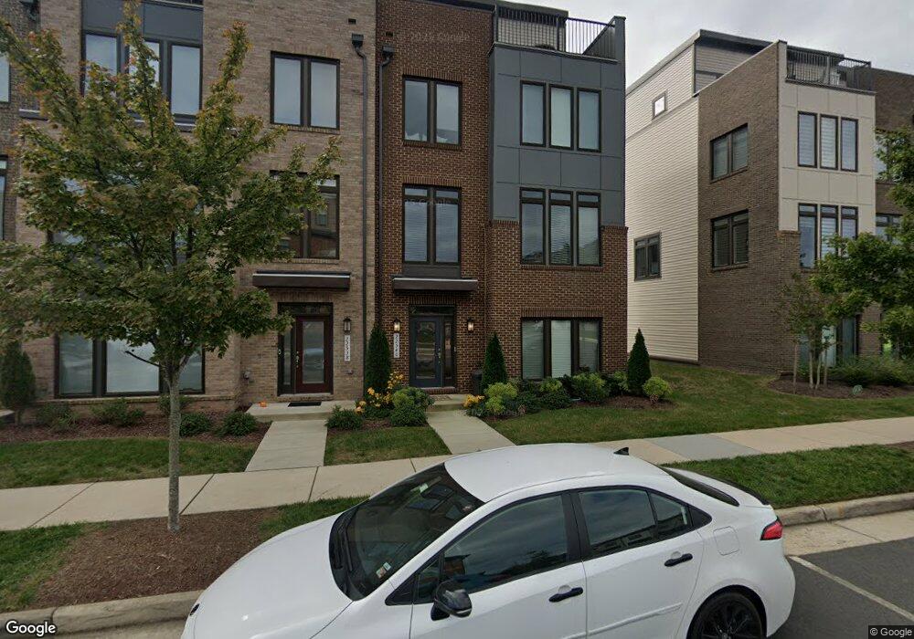
22540 Foundation Dr Ashburn, VA 20148
Estimated Value: $929,000 - $984,167
3
Beds
2
Baths
3,354
Sq Ft
$286/Sq Ft
Est. Value
About This Home
This home is located at 22540 Foundation Dr, Ashburn, VA 20148 and is currently estimated at $957,792, approximately $285 per square foot. 22540 Foundation Dr is a home with nearby schools including Moorefield Station Elementary School, Rock Ridge High School, and Stone Hill Middle School.
Ownership History
Date
Name
Owned For
Owner Type
Purchase Details
Closed on
Nov 28, 2021
Sold by
Us Home Corp
Bought by
Simpson Wesley Warren and Simpson Vanessa Aeli
Current Estimated Value
Home Financials for this Owner
Home Financials are based on the most recent Mortgage that was taken out on this home.
Original Mortgage
$818,400
Outstanding Balance
$752,107
Interest Rate
3.05%
Mortgage Type
VA
Estimated Equity
$205,685
Purchase Details
Closed on
Nov 23, 2021
Sold by
Us Home Corporation
Bought by
Simpson Wesley Warren and Simpson Vanessa Aeli
Home Financials for this Owner
Home Financials are based on the most recent Mortgage that was taken out on this home.
Original Mortgage
$818,400
Outstanding Balance
$752,107
Interest Rate
3.05%
Mortgage Type
VA
Estimated Equity
$205,685
Create a Home Valuation Report for This Property
The Home Valuation Report is an in-depth analysis detailing your home's value as well as a comparison with similar homes in the area
Home Values in the Area
Average Home Value in this Area
Purchase History
| Date | Buyer | Sale Price | Title Company |
|---|---|---|---|
| Simpson Wesley Warren | $800,000 | Lennar Title | |
| Simpson Wesley Warren | $800,000 | North American Title |
Source: Public Records
Mortgage History
| Date | Status | Borrower | Loan Amount |
|---|---|---|---|
| Open | Simpson Wesley Warren | $818,400 | |
| Closed | Simpson Wesley Warren | $818,400 |
Source: Public Records
Tax History
| Year | Tax Paid | Tax Assessment Tax Assessment Total Assessment is a certain percentage of the fair market value that is determined by local assessors to be the total taxable value of land and additions on the property. | Land | Improvement |
|---|---|---|---|---|
| 2025 | $9,067 | $902,230 | $258,500 | $643,730 |
| 2024 | $8,597 | $807,220 | $232,500 | $574,720 |
| 2023 | $6,700 | $765,700 | $232,500 | $533,200 |
| 2022 | $6,987 | $785,050 | $223,500 | $561,550 |
| 2021 | $2,190 | $223,500 | $223,500 | $0 |
Source: Public Records
Map
Nearby Homes
- 43377 Southland St
- 22477 Foundation Dr
- 43197 Halkett Square
- 43405 Charitable St
- 43173 Clarendon Square
- 22597 Windsor Locks Square
- 43157 Clarendon Square
- 22557 Middleburg Chapel Ct
- 22613 Naugatuck Square
- 22317 Seabring Terrace
- 22381 Roanoke Rise Terrace
- 22379 Roanoke Rise Terrace
- 22320 Lost Branch Cir
- 22308 Seabring Terrace
- 43330 Old Ryan Rd
- 43416 Grandmoore St
- 22244 Philanthropic Dr
- 43433 Wilcox Terrace
- 22160 Penelope Heights Terrace
- 43486 Wilcox Terrace
- 2 Radford Divide (Tarara) Terrace
- 0 Radford Divide (Bluemont) Terrace Unit VALO432912
- 22538 Foundation Dr
- 22544 Foundation Dr
- 22536 Foundation Dr
- 22546 Foundation Dr
- 22548 Foundation Dr
- 22534 Foundation Dr
- 43369 Radford Divide Terrace
- 22550 Foundation Dr
- 22552 Foundation Dr
- 22482 Radford Point Terrace
- 22494 Radford Point Terrace
- 43361 Radford Divide Terrace
- 22458 Alewife Terrace
- 22554 Foundation Dr
- 43357 Radford Divide Terrace
- 22492 Radford Point Terrace Unit 204
- 22490 Radford Point Terrace
- 43353 Radford Divide Terrace
Your Personal Tour Guide
Ask me questions while you tour the home.