2255 E 375 N Marion, IN 46952
Estimated Value: $221,939 - $677,000
4
Beds
3
Baths
2,080
Sq Ft
$183/Sq Ft
Est. Value
About This Home
This home is located at 2255 E 375 N, Marion, IN 46952 and is currently estimated at $381,235, approximately $183 per square foot. 2255 E 375 N is a home located in Grant County with nearby schools including Allen Elementary School, Justice Thurgood Marshall Intermediate School, and John L. McCulloch Junior High School.
Ownership History
Date
Name
Owned For
Owner Type
Purchase Details
Closed on
Apr 25, 2023
Sold by
Wer Rental Group Llc
Bought by
W E S Farm Llc
Current Estimated Value
Purchase Details
Closed on
Sep 25, 2017
Sold by
Nevels Reggie E
Bought by
Blinn Ed
Purchase Details
Closed on
Sep 25, 2003
Sold by
Not Provided
Bought by
Not Provided
Purchase Details
Closed on
Oct 3, 2001
Sold by
Not Provided
Bought by
Not Provided
Create a Home Valuation Report for This Property
The Home Valuation Report is an in-depth analysis detailing your home's value as well as a comparison with similar homes in the area
Purchase History
| Date | Buyer | Sale Price | Title Company |
|---|---|---|---|
| W E S Farm Llc | -- | None Listed On Document | |
| Blinn Ed | -- | None Available | |
| Not Provided | $300,000 | -- | |
| Not Provided | -- | -- |
Source: Public Records
Tax History
| Year | Tax Paid | Tax Assessment Tax Assessment Total Assessment is a certain percentage of the fair market value that is determined by local assessors to be the total taxable value of land and additions on the property. | Land | Improvement |
|---|---|---|---|---|
| 2025 | $767 | $60,800 | $41,000 | $19,800 |
| 2024 | $767 | $60,800 | $41,000 | $19,800 |
| 2023 | $945 | $60,800 | $39,400 | $21,400 |
| 2022 | $987 | $60,800 | $39,400 | $21,400 |
| 2021 | $1,065 | $60,800 | $39,400 | $21,400 |
| 2020 | $945 | $60,800 | $39,400 | $21,400 |
| 2019 | $871 | $131,800 | $57,200 | $74,600 |
| 2018 | $1,721 | $198,800 | $57,200 | $141,600 |
| 2017 | $2,068 | $161,600 | $57,200 | $104,400 |
| 2016 | $3,014 | $184,600 | $57,200 | $127,400 |
| 2014 | $1,422 | $186,700 | $57,200 | $129,500 |
| 2013 | $1,422 | $194,600 | $57,200 | $137,400 |
Source: Public Records
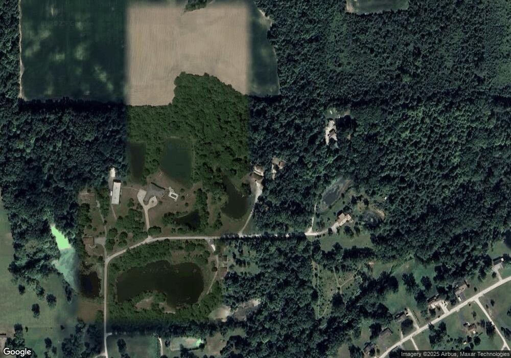
Map
Nearby Homes
- 933 E Bocock Rd
- 4988 N Huntington Rd
- 3220 N Huntington Rd
- 3105 N Huntington Rd
- 2325 N Huntington Rd
- 2220 N Huntington Rd
- 224 E Christy St
- 528 E Wiley St
- 1845 W Westholme Dr
- 240 Pinkerton Ct
- 932 N Washington St
- 508 W Wharton Dr
- 1700 E Bradford Pike
- 1461 N Manor Dr
- 410 N Vickery Ln
- 1310 W Woodland Dr
- 2214 N Wabash Rd
- 425 E Bradford St
- 702 W MacAlan Dr
- 624 N Washington St
- 2281 E 375 N
- 3838 N Moorland Dr
- 2313 E 375 N
- 2218 E 375 N
- 3693 N Moorland Dr
- 2151 E 375 N
- 3681 N Moorland Dr
- 3715 N Moorland Dr
- 3759 N Moorland Dr
- 3661 N Moorland Dr
- 3763 N Moorland Dr
- 3706 N Moorland Dr
- 3651 N Moorland Dr
- 3726 N Moorland Dr
- 3682 N Moorland Dr
- 3696 N Moorland Dr
- 3666 N Moorland Dr
- 3641 N Moorland Dr
- 3658 N Moorland Dr
- 4220 N 210 E
Your Personal Tour Guide
Ask me questions while you tour the home.