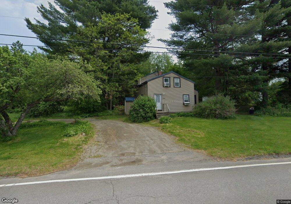
226 Day Rd Brewer, ME 04412
Estimated Value: $271,234 - $309,000
About This Home
This home is located at 226 Day Rd, Brewer, ME 04412 and is currently estimated at $288,059, approximately $244 per square foot. 226 Day Rd is a home located in Penobscot County with nearby schools including Brewer Community School, Brewer High School, and John Bapst Memorial High School.
Ownership History
We collect this data history from publicly available records. To have your information removed, we recommend requesting removal directly through your county’s website.
Purchase Details
Home Financials for this Owner
Home Financials are based on the most recent Mortgage that was taken out on this home.Purchase Details
Home Financials for this Owner
Home Financials are based on the most recent Mortgage that was taken out on this home.Home Values in the Area
Average Home Value in this Area
Purchase History
We collect this data history from publicly available records. To have your information removed, we recommend requesting removal directly through your county’s website.
| Date | Buyer | Sale Price | Title Company |
|---|---|---|---|
| $92,780 | None Available | ||
| $92,780 | None Available | ||
| -- | -- | ||
| -- | -- | ||
| -- | -- |
Mortgage History
We collect this data history from publicly available records. To have your information removed, we recommend requesting removal directly through your county’s website.
| Date | Status | Borrower | Loan Amount |
|---|---|---|---|
| Previous Owner | $88,141 | ||
| Previous Owner | $30,717 | ||
| Previous Owner | $15,149 | ||
| Previous Owner | $0 |
Tax History
We collect this data history from publicly available records. To have your information removed, we recommend requesting removal directly through your county’s website.
| Year | Tax Paid | Tax Assessment Tax Assessment Total Assessment is a certain percentage of the fair market value that is determined by local assessors to be the total taxable value of land and additions on the property. | Land | Improvement |
|---|---|---|---|---|
| 2025 | $3,828 | $248,600 | $32,600 | $216,000 |
| 2024 | $3,463 | $184,200 | $32,600 | $151,600 |
| 2023 | $2,991 | $148,800 | $31,300 | $117,500 |
| 2021 | $2,859 | $128,200 | $30,000 | $98,200 |
| 2020 | $2,917 | $128,200 | $30,000 | $98,200 |
| 2019 | $2,531 | $128,200 | $30,000 | $98,200 |
| 2018 | $2,421 | $110,000 | $30,000 | $80,000 |
| 2017 | $2,475 | $110,000 | $30,000 | $80,000 |
| 2016 | $2,367 | $110,000 | $30,000 | $80,000 |
| 2015 | $2,367 | $110,000 | $30,000 | $80,000 |
| 2014 | $2,274 | $108,700 | $30,000 | $78,700 |
| 2013 | $1,807 | $86,400 | $21,200 | $65,200 |
Map
- 33 Black Bear Rd
- 21 Rosebud Ln
- 00 Lambert Rd(map 4-14 & 4-14-01)
- 15 Main Rd
- 130 Eagle Ridge Rd
- 41 Thompson Rd
- 28 Hobson Ave
- 30 Bowdoin Dr
- 9 Little Roundtop Dr
- 1249 State St
- 25 Arbor Dr
- 1290 State St
- 15 Arbor Dr
- 40 Kathryn Ln Unit 40
- 1166 Eastern Ave
- 50 Rolling Meadow Dr
- 1128 Chase Rd
- 174 Rolling Meadow Dr
- 5 Donegal Dr
- 19 Galway Dr
Ask me questions while you tour the home.