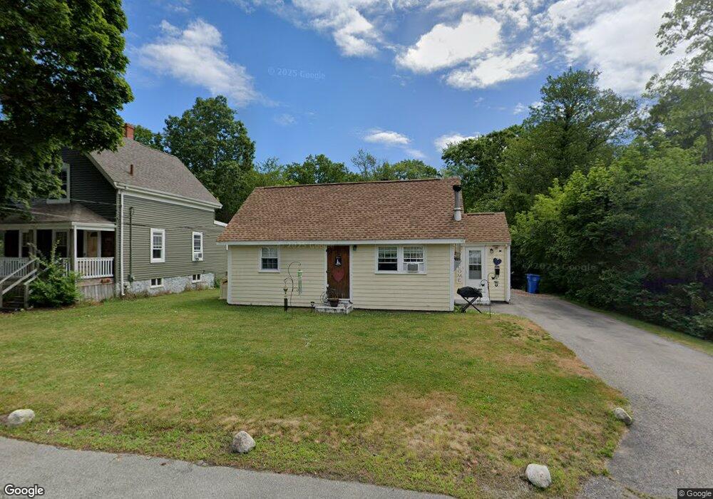
226 Stetson St Whitman, MA 02382
Estimated Value: $457,898 - $516,000
3
Beds
1
Bath
1,130
Sq Ft
$433/Sq Ft
Est. Value
About This Home
This home is located at 226 Stetson St, Whitman, MA 02382 and is currently estimated at $489,225, approximately $432 per square foot. 226 Stetson St is a home located in Plymouth County with nearby schools including St Bridget School.
Ownership History
Date
Name
Owned For
Owner Type
Purchase Details
Closed on
May 17, 2011
Sold by
Farley William A and Farley Donna J
Bought by
Farley Brian
Current Estimated Value
Purchase Details
Closed on
Jul 25, 1977
Bought by
Farley Brian
Create a Home Valuation Report for This Property
The Home Valuation Report is an in-depth analysis detailing your home's value as well as a comparison with similar homes in the area
Home Values in the Area
Average Home Value in this Area
Purchase History
| Date | Buyer | Sale Price | Title Company |
|---|---|---|---|
| Farley Brian | -- | -- | |
| Farley Brian | $25,900 | -- |
Source: Public Records
Mortgage History
| Date | Status | Borrower | Loan Amount |
|---|---|---|---|
| Previous Owner | Farley Brian | $33,000 | |
| Previous Owner | Farley Brian | $12,797 |
Source: Public Records
Tax History
| Year | Tax Paid | Tax Assessment Tax Assessment Total Assessment is a certain percentage of the fair market value that is determined by local assessors to be the total taxable value of land and additions on the property. | Land | Improvement |
|---|---|---|---|---|
| 2025 | $4,795 | $365,500 | $186,200 | $179,300 |
| 2024 | $4,408 | $346,000 | $176,600 | $169,400 |
| 2023 | $4,410 | $325,000 | $169,000 | $156,000 |
| 2022 | $4,345 | $298,400 | $153,600 | $144,800 |
| 2021 | $4,236 | $273,300 | $144,000 | $129,300 |
| 2020 | $4,110 | $259,300 | $134,400 | $124,900 |
| 2019 | $3,733 | $242,700 | $134,400 | $108,300 |
| 2018 | $3,524 | $220,100 | $121,000 | $99,100 |
| 2017 | $3,319 | $220,100 | $121,000 | $99,100 |
| 2016 | $3,322 | $213,100 | $120,000 | $93,100 |
| 2015 | $3,273 | $209,700 | $120,000 | $89,700 |
Source: Public Records
Map
Nearby Homes
- 22 Old Coach Rd
- 289 Commercial St
- 48 Day St
- 147 South Ave
- 159 Auburn St
- 157 Auburn St Unit 157
- 154 Auburn St
- 8 Laurel St
- 150 Harvard St
- 110 South Ave
- 95 Temple St
- 101 Washington St Unit 4
- 214 Winter St
- 548 Harvard St
- Plan A Northville Village Unit Plan A
- Plan A Northville Village
- Plan B Northville Village Unit Plan B
- Unit 12 Northville Village Unit 12
- Unit 1 Northville Village Unit Plan A
- Unit 1 Northville Village
- 222 Stetson St
- 238 Stetson St
- 214 Stetson St
- 225 Stetson St
- 221 Stetson St
- 210 Stetson St
- 237 Stetson St
- 250 Stetson St
- 40 Railroad Ave
- 196 Stetson St
- 5 Freedom Ln
- 44 Railroad Ave
- 33 Railroad Ave
- 10 Patriot Ln
- 35 Railroad Ave
- 6 Constitution Cir
- 178 Stetson St
- 177 Stetson St
- 48 Railroad Ave
- 4 Constitution Cir
Your Personal Tour Guide
Ask me questions while you tour the home.