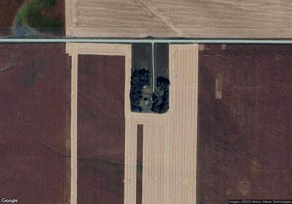
2267 E Rd West Point, NE 68788
Estimated Value: $180,000 - $395,000
3
Beds
2
Baths
1,612
Sq Ft
$184/Sq Ft
Est. Value
About This Home
This home is located at 2267 E Rd, West Point, NE 68788 and is currently estimated at $296,642, approximately $184 per square foot. 2267 E Rd is a home located in Cuming County with nearby schools including West Point-Beemer Junior/Senior High School.
Ownership History
Date
Name
Owned For
Owner Type
Purchase Details
Closed on
Jun 7, 2015
Sold by
Eisenmenger Ervin C and Eisenmerger Elaine C
Bought by
Holtz Shawn L
Current Estimated Value
Home Financials for this Owner
Home Financials are based on the most recent Mortgage that was taken out on this home.
Original Mortgage
$65,000
Outstanding Balance
$49,675
Interest Rate
3.7%
Mortgage Type
New Conventional
Estimated Equity
$246,967
Create a Home Valuation Report for This Property
The Home Valuation Report is an in-depth analysis detailing your home's value as well as a comparison with similar homes in the area
Purchase History
| Date | Buyer | Sale Price | Title Company |
|---|---|---|---|
| Holtz Shawn L | $89,000 | None Available |
Source: Public Records
Mortgage History
| Date | Status | Borrower | Loan Amount |
|---|---|---|---|
| Open | Holtz Shawn L | $65,000 |
Source: Public Records
Tax History
| Year | Tax Paid | Tax Assessment Tax Assessment Total Assessment is a certain percentage of the fair market value that is determined by local assessors to be the total taxable value of land and additions on the property. | Land | Improvement |
|---|---|---|---|---|
| 2025 | $1,008 | $186,715 | $70,950 | $115,765 |
| 2024 | $1,049 | $171,975 | $69,640 | $102,335 |
| 2023 | $1,472 | $162,400 | $64,875 | $97,525 |
| 2022 | $1,335 | $134,655 | $50,470 | $84,185 |
| 2021 | $1,033 | $103,170 | $31,970 | $71,200 |
| 2020 | $1,026 | $103,895 | $49,595 | $54,300 |
| 2019 | $997 | $98,835 | $49,595 | $49,240 |
| 2018 | $1,010 | $101,335 | $52,095 | $49,240 |
| 2017 | $922 | $89,450 | $42,675 | $46,775 |
| 2016 | $936 | $87,525 | $42,675 | $44,850 |
| 2015 | $1,162 | $99,615 | $39,075 | $60,540 |
| 2014 | $1,164 | $91,930 | $35,070 | $56,860 |
| 2013 | $1,164 | $81,510 | $25,795 | $55,715 |
Source: Public Records
Map
Nearby Homes
- 1225 Co Road 1
- 126 E Grove St
- 925 E Grove St
- 820 E Sherman St
- TBD Oakland
- 420 S Farragut St
- 1559 S Lincoln St
- 1402 E Bridge St
- 205 E Sheridan St
- 208 N Lincoln St
- 101 S Main St
- 2297 Hwy 275
- 130 W Neligh St
- 326 S Maple St
- 1301 N Mill St
- 314 W 2nd St
- 521 N Logan Ave
- 328 N Oakland Ave
- 206 N Thomas Ave
- 950 Bridge St
Your Personal Tour Guide
Ask me questions while you tour the home.