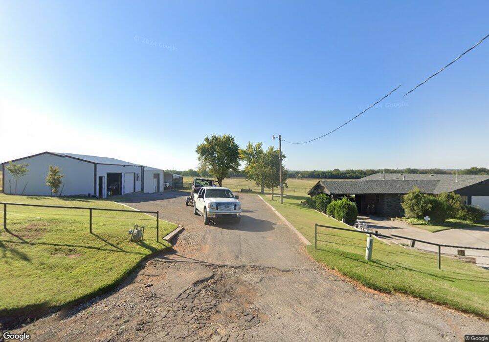
22674 E 1030 Rd Clinton, OK 73601
Estimated Value: $136,000 - $210,000
3
Beds
2
Baths
2,184
Sq Ft
$85/Sq Ft
Est. Value
About This Home
This home is located at 22674 E 1030 Rd, Clinton, OK 73601 and is currently estimated at $186,377, approximately $85 per square foot. 22674 E 1030 Rd is a home located in Custer County with nearby schools including Nance Elementary School, Southwest Elementary School, and Clinton Middle School.
Ownership History
Date
Name
Owned For
Owner Type
Purchase Details
Closed on
Sep 12, 2008
Sold by
Tackitt Christopher Ryan
Bought by
Heerwald Michael
Current Estimated Value
Purchase Details
Closed on
Dec 11, 2007
Sold by
Tackitt Christopher Ryan
Bought by
Tackitt Christopher
Purchase Details
Closed on
Feb 28, 2004
Sold by
Gilmore Patricia Ann
Bought by
Tackitt Christopher
Purchase Details
Closed on
Aug 23, 2000
Sold by
Coy C Tackitt
Bought by
Patricia Ann Gilmore
Create a Home Valuation Report for This Property
The Home Valuation Report is an in-depth analysis detailing your home's value as well as a comparison with similar homes in the area
Purchase History
| Date | Buyer | Sale Price | Title Company |
|---|---|---|---|
| Heerwald Michael | $170,000 | -- | |
| Tackitt Christopher | -- | -- | |
| Tackitt Christopher | -- | -- | |
| Patricia Ann Gilmore | -- | -- |
Source: Public Records
Tax History
| Year | Tax Paid | Tax Assessment Tax Assessment Total Assessment is a certain percentage of the fair market value that is determined by local assessors to be the total taxable value of land and additions on the property. | Land | Improvement |
|---|---|---|---|---|
| 2025 | $1,385 | $13,659 | $1,878 | $11,781 |
| 2024 | $1,342 | $13,262 | $1,824 | $11,438 |
| 2023 | $1,342 | $12,875 | $1,796 | $11,079 |
| 2022 | $1,177 | $12,262 | $1,752 | $10,510 |
| 2021 | $1,101 | $11,679 | $1,711 | $9,968 |
| 2020 | $1,070 | $11,122 | $1,671 | $9,451 |
| 2019 | $1,015 | $10,593 | $1,592 | $9,001 |
| 2018 | $959 | $10,089 | $1,516 | $8,573 |
| 2017 | $904 | $9,607 | $1,471 | $8,136 |
| 2016 | $856 | $9,150 | $1,337 | $7,813 |
| 2015 | $809 | $8,716 | $1,409 | $7,307 |
| 2014 | $750 | $8,300 | $1,360 | $6,940 |
Source: Public Records
Map
Nearby Homes
- 0 Turtle Creek
- 526 N 7th St
- 712 Santa fe Dr
- 700 Santa fe Dr
- 614 S 6th St
- 1012 Orient Ave
- 404 S 9th St
- 511 S 9th St
- 412 S 11th St
- 522 S 11th St
- 208 N 14th St
- 1509 Orient Ave
- 312 S 14th St
- 409 S 15th St
- 430 S 15th St
- 1030 Circle Dr
- 1500 Oak Ave
- 1004 Scissortail Dr
- 1011 Mockingbird Ln
- 1708 W Modelle Ave
- 22680 E 1030 Rd
- 22681 E 1030 Rd
- 22667 E 1030 Rd
- 22664 E 1030 Rd
- 22675 E 1030 Rd
- 22685 E 1030 Rd
- 22691 E 1030 Rd
- 22690 E 1030 Rd
- 22078 E 1030 Rd
- 22084 E 1030 Rd
- 22655 E 1030 Rd
- 10303 N Airport Rd
- 10307 Airport Rd
- 22697 E 1030 Rd
- 10311 N Airport Rd
- 10311 N 2270 Rd
- 10291 N Airport Rd
- 10313 N Airport Rd
- 10287 N Airport Rd
- 101 Riverview Dr
Your Personal Tour Guide
Ask me questions while you tour the home.