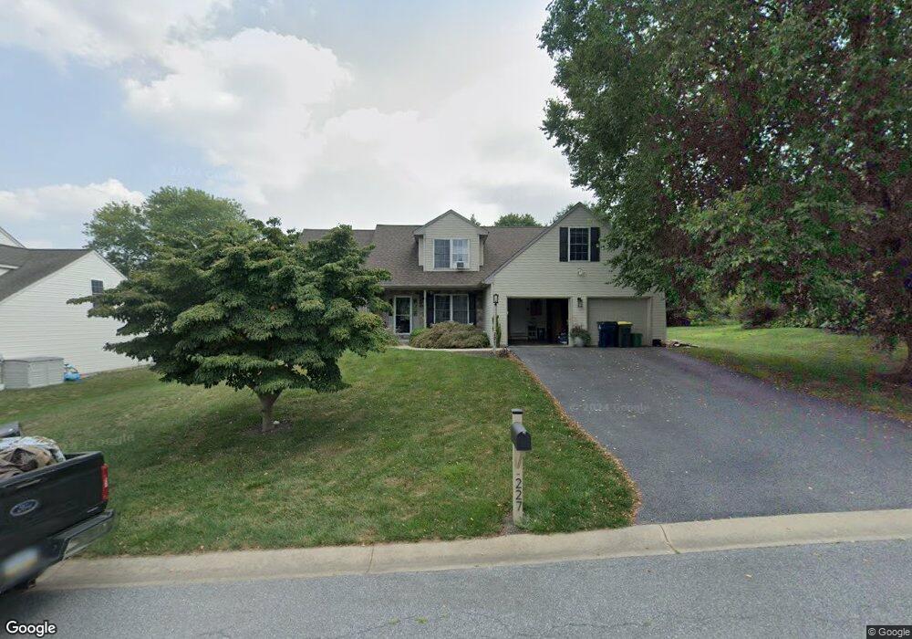
227 Browning Rd Lancaster, PA 17602
Bridgeport NeighborhoodEstimated Value: $474,000 - $562,000
About This Home
This home is located at 227 Browning Rd, Lancaster, PA 17602 and is currently estimated at $514,880, approximately $227 per square foot. 227 Browning Rd is a home located in Lancaster County with nearby schools including Smoketown Elementary School, Gerald G. Huesken Middle School, and Conestoga Valley High School.
Ownership History
We collect this data history from publicly available records. To have your information removed, we recommend requesting removal directly through your county’s website.
Purchase Details
Home Financials for this Owner
Home Financials are based on the most recent Mortgage that was taken out on this home.Home Values in the Area
Average Home Value in this Area
Purchase History
We collect this data history from publicly available records. To have your information removed, we recommend requesting removal directly through your county’s website.
| Date | Buyer | Sale Price | Title Company |
|---|---|---|---|
| $196,688 | -- |
Mortgage History
We collect this data history from publicly available records. To have your information removed, we recommend requesting removal directly through your county’s website.
| Date | Status | Borrower | Loan Amount |
|---|---|---|---|
| Closed | $152,000 |
Tax History
We collect this data history from publicly available records. To have your information removed, we recommend requesting removal directly through your county’s website.
| Year | Tax Paid | Tax Assessment Tax Assessment Total Assessment is a certain percentage of the fair market value that is determined by local assessors to be the total taxable value of land and additions on the property. | Land | Improvement |
|---|---|---|---|---|
| 2026 | $8,292 | $264,800 | $64,800 | $200,000 |
| 2025 | $8,190 | $264,800 | $64,800 | $200,000 |
| 2024 | $8,190 | $264,800 | $64,800 | $200,000 |
| 2023 | $8,081 | $264,800 | $64,800 | $200,000 |
| 2022 | $7,702 | $264,800 | $64,800 | $200,000 |
| 2021 | $7,522 | $264,800 | $64,800 | $200,000 |
| 2020 | $7,522 | $264,800 | $64,800 | $200,000 |
| 2019 | $7,416 | $264,800 | $64,800 | $200,000 |
| 2018 | $6,901 | $264,800 | $64,800 | $200,000 |
| 2017 | $6,765 | $198,400 | $50,300 | $148,100 |
| 2016 | $6,682 | $198,400 | $50,300 | $148,100 |
| 2015 | $3,523 | $198,400 | $50,300 | $148,100 |
| 2014 | $5,434 | $198,400 | $50,300 | $148,100 |
Map
- 156 Hostetter Ln
- 14 Crest Ave
- 160 Crest Ave
- 201 Frances Ave
- 208 Southgate Dr
- 1550 Putnam Dr
- 104 Lampeter Rd
- 48 Highland Dr
- 1564 Millport Rd
- 4 Rumford Ct Unit 150
- 102 River Bend Park Unit 102
- 77 Glendale Dr
- 38 River Bend Park Unit 38
- 1568 S Jefferson Ct
- 1551 Braxton Dr
- 315 Conestoga Blvd
- 1315 E King St
- 131 Garden City Dr
- 6 Creekwood Dr
- 7 Thicket Ln
- 219 Browning Rd
- 215 Browning Rd
- 223 Browning Rd
- 154 Hostetter Ln
- 211 Browning Rd
- 152 Hostetter Ln
- 218 Browning Rd
- 214 Browning Rd
- 222 Browning Rd
- 150 Hostetter Ln
- 127 Browning Rd
- 158 Hostetter Ln
- 210 Browning Rd
- 231 Browning Rd
- 226 Browning Rd
- 148 Hostetter Ln
- 121 Browning Rd
- 160 Hostetter Ln
- 241 Longfellow Dr
- 153 Hostetter Ln
Ask me questions while you tour the home.