Estimated Value: $999,000 - $1,063,000
About This Home
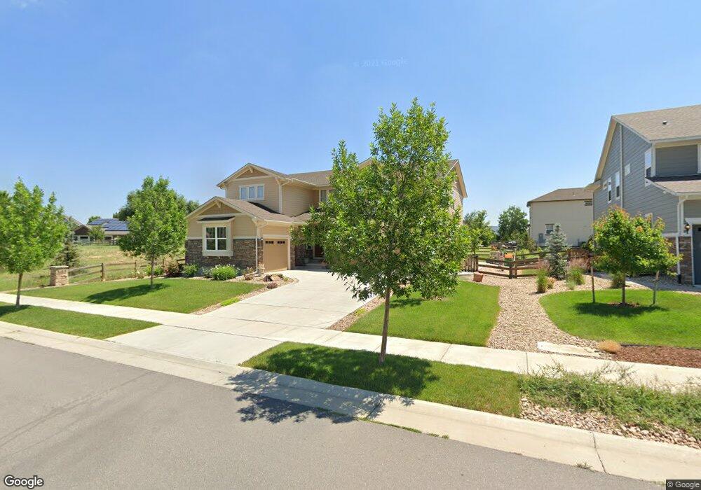
This home is located at 2271 Front Range Rd, Erie, CO 80516 and is currently estimated at $1,035,378, approximately $315 per square foot. 2271 Front Range Rd is a home with nearby schools including Meadowlark School and Centaurus High School.
Ownership History
We collect this data history from publicly available records. To have your information removed, we recommend requesting removal directly through your county’s website.
Purchase Details
Home Financials for this Owner
Home Financials are based on the most recent Mortgage that was taken out on this home.Purchase History
We collect this data history from publicly available records. To have your information removed, we recommend requesting removal directly through your county’s website.
| Date | Buyer | Sale Price | Title Company |
|---|---|---|---|
| $546,440 | None Available |
Mortgage History
We collect this data history from publicly available records. To have your information removed, we recommend requesting removal directly through your county’s website.
| Date | Status | Borrower | Loan Amount |
|---|---|---|---|
| Open | $400,000 |
Tax History
We collect this data history from publicly available records. To have your information removed, we recommend requesting removal directly through your county’s website.
| Year | Tax Paid | Tax Assessment Tax Assessment Total Assessment is a certain percentage of the fair market value that is determined by local assessors to be the total taxable value of land and additions on the property. | Land | Improvement |
|---|---|---|---|---|
| 2026 | $9,375 | $71,529 | $14,824 | $56,705 |
| 2025 | $9,375 | $71,529 | $14,824 | $56,705 |
| 2024 | $9,112 | $65,744 | $13,625 | $52,119 |
| 2023 | $10,978 | $67,248 | $18,130 | $52,803 |
| 2022 | $8,695 | $51,743 | $11,468 | $40,275 |
| 2021 | $8,695 | $53,232 | $11,798 | $41,434 |
| 2020 | $7,768 | $47,269 | $7,222 | $40,047 |
| 2019 | $7,704 | $47,269 | $7,222 | $40,047 |
| 2018 | $7,177 | $45,050 | $11,952 | $33,098 |
| 2017 | $6,884 | $52,242 | $13,214 | $39,028 |
| 2016 | $6,353 | $34,626 | $14,806 | $19,820 |
| 2015 | $5,245 | $18,183 | $18,183 | $0 |
| 2014 | -- | $0 | $0 | $0 |
Map
- 2246 Front Range Ct
- 2278 Cottonwood Place
- 1032 Marfell St
- 749 Pope Dr
- 2281 Cottonwood Place
- 729 Dinosaur Dr
- 633 Sundance Cir
- 2330 Carbonate Cir
- 1182 Red Iron Ct
- 428 Meadow View Pkwy
- 615 Brennan Cir
- 665 Dakota Ct
- 1321 Fountain Ln
- 645 Brennan Cir
- 1228 Shale Way
- 1413 Lyons Ln
- 750 Limestone Dr
- 1938 Gordon Ct
- 851 Mcclure Way
- 2573 Betts Cir
- 2272 Front Range Rd
- 2270 Front Range Rd
- 2274 Front Range Rd
- 956 Rocky Ridge Cir
- 962 Rocky Ridge Cir
- 2276 Front Range Rd
- 2269 Front Range Rd
- 968 Rocky Ridge Cir
- 2266 Front Range Rd
- 944 Rocky Ridge Cir
- 938 Rocky Ridge Cir
- 2261 Madison Dr
- 2264 Front Range Rd
- 2266 Madison Dr
- 957 Rocky Ridge Cir
- 951 Rocky Ridge Cir
- 963 Rocky Ridge Cir
- 932 Rocky Ridge Cir
- 872 Pope Dr
- 969 Rocky Ridge Cir
Ask me questions while you tour the home.