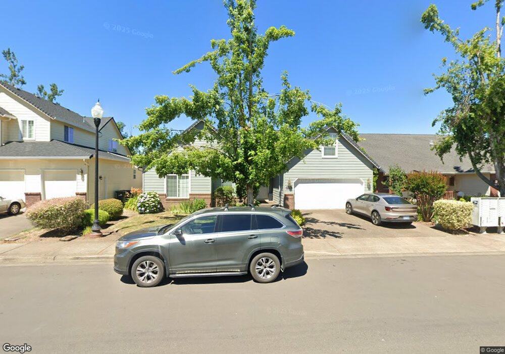
2272 33rd St Springfield, OR 97477
North Springfield NeighborhoodEstimated Value: $516,247 - $567,000
About This Home
This home is located at 2272 33rd St, Springfield, OR 97477 and is currently estimated at $543,062, approximately $332 per square foot. 2272 33rd St is a home located in Lane County with nearby schools including Yolanda Elementary School, Briggs Middle School, and Thurston High School.
Ownership History
We collect this data history from publicly available records. To have your information removed, we recommend requesting removal directly through your county’s website.
Purchase Details
Purchase Details
Home Financials for this Owner
Home Financials are based on the most recent Mortgage that was taken out on this home.Purchase Details
Home Financials for this Owner
Home Financials are based on the most recent Mortgage that was taken out on this home.Home Values in the Area
Average Home Value in this Area
Purchase History
We collect this data history from publicly available records. To have your information removed, we recommend requesting removal directly through your county’s website.
| Date | Buyer | Sale Price | Title Company |
|---|---|---|---|
| $750,000 | -- | ||
| $335,000 | First American Title Ins Co | ||
| $210,000 | Western Title & Escrow Compa |
Mortgage History
We collect this data history from publicly available records. To have your information removed, we recommend requesting removal directly through your county’s website.
| Date | Status | Borrower | Loan Amount |
|---|---|---|---|
| Previous Owner | $81,500 | ||
| Previous Owner | $168,000 | ||
| Closed | $31,500 |
Tax History
We collect this data history from publicly available records. To have your information removed, we recommend requesting removal directly through your county’s website.
| Year | Tax Paid | Tax Assessment Tax Assessment Total Assessment is a certain percentage of the fair market value that is determined by local assessors to be the total taxable value of land and additions on the property. | Land | Improvement |
|---|---|---|---|---|
| 2025 | $5,233 | $285,387 | -- | -- |
| 2024 | $5,149 | $277,075 | -- | -- |
| 2023 | $5,149 | $269,005 | $0 | $0 |
| 2022 | $4,768 | $261,170 | $0 | $0 |
| 2021 | $4,683 | $253,564 | $0 | $0 |
| 2020 | $4,546 | $246,179 | $0 | $0 |
| 2019 | $4,409 | $239,009 | $0 | $0 |
| 2018 | $4,157 | $225,289 | $0 | $0 |
| 2017 | $3,997 | $225,289 | $0 | $0 |
| 2016 | $3,913 | $218,727 | $0 | $0 |
| 2015 | $3,801 | $212,356 | $0 | $0 |
| 2014 | $3,744 | $206,171 | $0 | $0 |
Map
- 3392 Falcon Dr
- 3408 Ambleside Dr
- 2998 Fenya St
- 2343 30th Place
- 2983 Fenya St
- 2145 31st St Unit 23
- 2145 31st St Unit 39
- 2960 V St
- 3767 Vitus Ln
- 2651 Fenya St
- 2494 38th St
- 2676 U
- 3835 Winslow Ave
- 2777 Marcola Rd
- 2611 26th Loop
- 2512 Maia Loop
- 2148 Lomond Ave
- 2438 Maia Loop
- 2177 Firth Ave
- 2314 Maia Loop
Ask me questions while you tour the home.