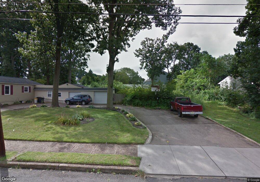
228 Union Ave Runnemede, NJ 08078
Estimated Value: $377,000 - $426,000
3
Beds
2
Baths
1,788
Sq Ft
$224/Sq Ft
Est. Value
About This Home
This home is located at 228 Union Ave, Runnemede, NJ 08078 and is currently estimated at $400,047, approximately $223 per square foot. 228 Union Ave is a home located in Camden County with nearby schools including Mary E. Volz Elementary School, Downing Elementary School, and Triton High School.
Ownership History
Date
Name
Owned For
Owner Type
Purchase Details
Closed on
Dec 20, 2021
Sold by
I & H Builders Llc
Bought by
Long Samantha
Current Estimated Value
Home Financials for this Owner
Home Financials are based on the most recent Mortgage that was taken out on this home.
Original Mortgage
$315,250
Interest Rate
3.45%
Mortgage Type
New Conventional
Purchase Details
Closed on
Jan 6, 2021
Sold by
Dipierro John
Bought by
I & H Builders Llc
Create a Home Valuation Report for This Property
The Home Valuation Report is an in-depth analysis detailing your home's value as well as a comparison with similar homes in the area
Home Values in the Area
Average Home Value in this Area
Purchase History
| Date | Buyer | Sale Price | Title Company |
|---|---|---|---|
| Long Samantha | $325,000 | West Jersey Title | |
| Long Samantha | $325,000 | West Jersey Title | |
| I & H Builders Llc | $32,000 | West Jersey Title Agency | |
| I & H Builders Llc | $32,000 | West Jersey Title |
Source: Public Records
Mortgage History
| Date | Status | Borrower | Loan Amount |
|---|---|---|---|
| Previous Owner | Long Samantha | $315,250 |
Source: Public Records
Tax History
| Year | Tax Paid | Tax Assessment Tax Assessment Total Assessment is a certain percentage of the fair market value that is determined by local assessors to be the total taxable value of land and additions on the property. | Land | Improvement |
|---|---|---|---|---|
| 2025 | $9,180 | $192,000 | $47,000 | $145,000 |
| 2024 | $8,388 | $192,000 | $47,000 | $145,000 |
| 2023 | $8,388 | $192,000 | $47,000 | $145,000 |
| 2022 | $1,988 | $47,000 | $47,000 | $0 |
| 2021 | $1,919 | $47,000 | $47,000 | $0 |
| 2020 | $1,922 | $47,000 | $47,000 | $0 |
| 2019 | $1,887 | $47,000 | $47,000 | $0 |
| 2018 | $1,850 | $47,000 | $47,000 | $0 |
| 2017 | $1,803 | $47,000 | $47,000 | $0 |
| 2016 | $1,780 | $47,000 | $47,000 | $0 |
| 2015 | $1,786 | $47,000 | $47,000 | $0 |
| 2014 | $1,763 | $47,000 | $47,000 | $0 |
Source: Public Records
Map
Nearby Homes
- 225 Union Ave
- 232 Garden Terrace
- 233 Garden Terrace
- 227 Garden Terrace
- 120 E 4th Ave
- 511 N Black Horse Pike
- 39 E 2nd Ave
- 16 W 5th Ave
- 304 E Clements Bridge Rd
- 29 W 4th Ave
- 30 Saint Charles Place
- 311 Bowers Ave
- 1042 Central Ave
- 206 W 5th Ave
- 120 Bowers Ave
- 534 Blanchard Ave
- 123 Mitchell Ave
- 112 Lindsey Ave
- 850 Orchard Ave
- 102 W Clements Bridge Rd
Your Personal Tour Guide
Ask me questions while you tour the home.