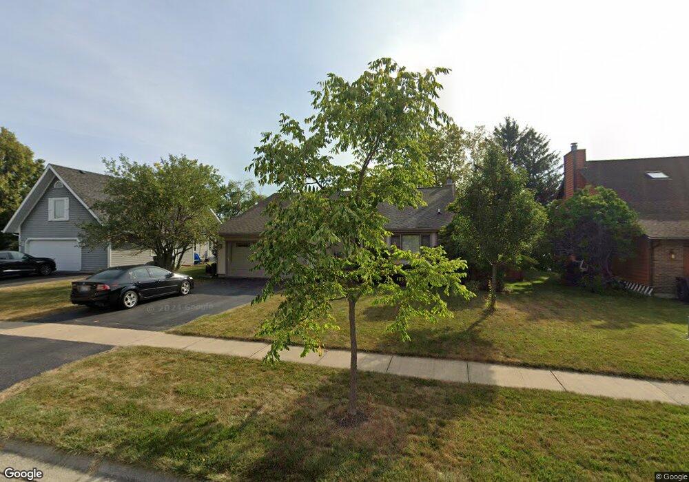
2282 High Point Dr Lindenhurst, IL 60046
Lindenhurst AreaEstimated Value: $424,000 - $487,000
About This Home
This home is located at 2282 High Point Dr, Lindenhurst, IL 60046 and is currently estimated at $454,796, approximately $206 per square foot. 2282 High Point Dr is a home located in Lake County with nearby schools including Lakes Community High School.
Ownership History
We collect this data history from publicly available records. To have your information removed, we recommend requesting removal directly through your county’s website.
Purchase Details
Purchase Details
Home Financials for this Owner
Home Financials are based on the most recent Mortgage that was taken out on this home.Home Values in the Area
Average Home Value in this Area
Purchase History
We collect this data history from publicly available records. To have your information removed, we recommend requesting removal directly through your county’s website.
| Date | Buyer | Sale Price | Title Company |
|---|---|---|---|
| -- | None Listed On Document | ||
| $340,000 | Fort Dearborn Land Title |
Mortgage History
We collect this data history from publicly available records. To have your information removed, we recommend requesting removal directly through your county’s website.
| Date | Status | Borrower | Loan Amount |
|---|---|---|---|
| Previous Owner | $193,000 | ||
| Previous Owner | $139,000 | ||
| Previous Owner | $150,000 | ||
| Previous Owner | $25,000 | ||
| Previous Owner | $140,000 | ||
| Previous Owner | $100,000 |
Tax History
We collect this data history from publicly available records. To have your information removed, we recommend requesting removal directly through your county’s website.
| Year | Tax Paid | Tax Assessment Tax Assessment Total Assessment is a certain percentage of the fair market value that is determined by local assessors to be the total taxable value of land and additions on the property. | Land | Improvement |
|---|---|---|---|---|
| 2025 | $11,120 | $125,109 | $27,128 | $97,981 |
| 2024 | $10,571 | $116,630 | $25,289 | $91,341 |
| 2023 | $10,392 | $103,048 | $22,344 | $80,704 |
| 2022 | $10,392 | $97,010 | $27,213 | $69,797 |
| 2021 | $10,429 | $94,692 | $25,279 | $69,413 |
| 2020 | $10,199 | $91,658 | $24,469 | $67,189 |
| 2019 | $11,290 | $94,652 | $23,517 | $71,135 |
| 2018 | $9,698 | $85,016 | $26,297 | $58,719 |
| 2017 | $9,442 | $82,749 | $25,596 | $57,153 |
| 2016 | $9,643 | $79,399 | $24,560 | $54,839 |
| 2015 | $9,225 | $74,156 | $22,938 | $51,218 |
| 2014 | $9,418 | $70,402 | $21,519 | $48,883 |
| 2012 | $8,755 | $82,056 | $23,600 | $58,456 |
Map
- 2359 High Point Dr
- 534 Whispering Pines Rd Unit 2
- 2401 Mallard Dr
- 2494 Forest View Rd
- 2120 Meadow Dr
- 2004 Sprucewood Ln
- 1911 Hazelwood Dr
- 1819 Elmwood Dr
- 747 Monroe Dr
- 2901 Harrisburg Ct
- 824 Paine Ave
- 2890 Trail Crest Ln
- 1896 E Vista Terrace
- 2850 Farmington Dr
- 19135 W Millburn Rd
- 2508 Highland Dr
- 2512 Highland Dr
- 219 Countryside Ln
- 405 Woodland Trail
- 1055 E Grand Ave
- 2276 High Point Dr
- 2288 High Point Dr
- 2270 High Point Dr
- 2296 High Point Dr
- 2257 High Point Dr
- 2265 High Point Dr
- 2300 High Point Dr
- 2241 High Point Dr
- 2273 High Point Dr
- 2260 High Point Dr
- 2281 High Point Dr
- 2233 High Point Dr
- 2252 High Point Dr Unit 4
- 2289 High Point Dr
- 2324 High Point Dr
- 2244 High Point Dr
- 2225 High Point Dr
- 2299 High Point Dr
- 2236 High Point Dr
- 413 N Beck Rd
Ask me questions while you tour the home.