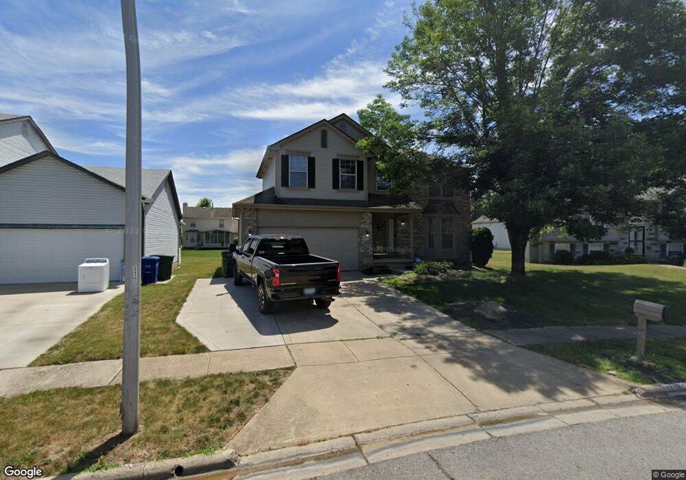
2283 Rolling Rock Dr Columbus, OH 43229
Forest Park East NeighborhoodEstimated Value: $361,000 - $378,000
About This Home
This home is located at 2283 Rolling Rock Dr, Columbus, OH 43229 and is currently estimated at $368,338, approximately $168 per square foot. 2283 Rolling Rock Dr is a home located in Franklin County with nearby schools including Avalon Elementary School, Northgate Intermediate, and Woodward Park Middle School.
Ownership History
We collect this data history from publicly available records. To have your information removed, we recommend requesting removal directly through your county’s website.
Purchase Details
Home Financials for this Owner
Home Financials are based on the most recent Mortgage that was taken out on this home.Purchase Details
Home Financials for this Owner
Home Financials are based on the most recent Mortgage that was taken out on this home.Home Values in the Area
Average Home Value in this Area
Purchase History
We collect this data history from publicly available records. To have your information removed, we recommend requesting removal directly through your county’s website.
| Date | Buyer | Sale Price | Title Company |
|---|---|---|---|
| $283,000 | Northwest Advantage Ttl Agcy | ||
| $174,300 | Preferred Title Agency Inc |
Mortgage History
We collect this data history from publicly available records. To have your information removed, we recommend requesting removal directly through your county’s website.
| Date | Status | Borrower | Loan Amount |
|---|---|---|---|
| Open | $277,777 | ||
| Previous Owner | $177,650 |
Tax History
We collect this data history from publicly available records. To have your information removed, we recommend requesting removal directly through your county’s website.
| Year | Tax Paid | Tax Assessment Tax Assessment Total Assessment is a certain percentage of the fair market value that is determined by local assessors to be the total taxable value of land and additions on the property. | Land | Improvement |
|---|---|---|---|---|
| 2025 | $4,392 | $97,870 | $23,910 | $73,960 |
| 2024 | $4,392 | $97,870 | $23,910 | $73,960 |
| 2023 | $4,336 | $97,860 | $23,905 | $73,955 |
| 2022 | $3,754 | $70,070 | $11,830 | $58,240 |
| 2021 | $3,641 | $70,070 | $11,830 | $58,240 |
| 2020 | $3,645 | $70,070 | $11,830 | $58,240 |
| 2019 | $3,090 | $50,930 | $8,750 | $42,180 |
| 2018 | $2,905 | $50,930 | $8,750 | $42,180 |
| 2017 | $3,088 | $50,930 | $8,750 | $42,180 |
| 2016 | $3,005 | $45,360 | $8,470 | $36,890 |
| 2015 | $2,728 | $45,360 | $8,470 | $36,890 |
| 2014 | $2,734 | $45,360 | $8,470 | $36,890 |
| 2013 | $1,484 | $49,910 | $8,925 | $40,985 |
Map
- 2392 Minerva Park Place
- 2224 Kilbourne Ave
- 2166 Blackoak Ave
- 2229 Waldorf Rd
- 2227 Lilacwood Ave
- 4730 Edinburgh Ln
- 2294 Teakwood Dr
- 4710 Larkhall Ln
- 2903 Kilbourne Ave
- 0 Chester Rd
- 5330 Torchwood Loop W
- 0 Abington Rd Unit 224031704
- 1944 Coghill Dr
- 1859 Tamarack Ct S
- 5480 Cedarbush Rd
- 5564 Parkshire Dr
- 2127 Shawbury Ct E
- 2601 Brooklyn Rd
- 2594 Adda Ave
- 5377 Park Lane Ct
- 5031 Rolling Rock Ct
- 5039 Rolling Rock Ct
- 0 E Minerva Ave
- 0 E Minerva Ave
- 2524 Minerva Ave
- 0 E Minerva Ave
- 2275 Rolling Rock Dr
- 0 E Minerva Ave
- 5047 Rolling Rock Ct
- 2269 Rolling Rock Dr
- 2538 Minerva Ave
- 5030 Rolling Rock Ct
- 5038 Rolling Rock Ct
- 0 E Minerva Ave
- 2229 Rolling Rock Dr
- 5055 Rolling Rock Ct
- 2221 Rolling Rock Dr
- 2237 Rolling Rock Dr
- 5046 Rolling Rock Ct
- 2550 Minerva Ave
Ask me questions while you tour the home.