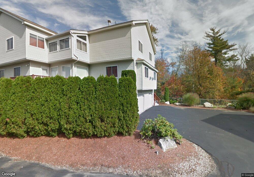
229 Captain Eames Cir Ashland, MA 01721
Estimated Value: $570,000 - $637,000
2
Beds
3
Baths
2,052
Sq Ft
$300/Sq Ft
Est. Value
About This Home
This home is located at 229 Captain Eames Cir, Ashland, MA 01721 and is currently estimated at $616,237, approximately $300 per square foot. 229 Captain Eames Cir is a home located in Middlesex County with nearby schools including William Pittaway Elementary School, Henry E. Warren Elementary School, and David Mindess Elementary School.
Ownership History
Date
Name
Owned For
Owner Type
Purchase Details
Closed on
Jan 28, 2020
Sold by
Eisenberg Linda
Bought by
Zwetchkenbaum Rachel A and Zwetchkenbaum Hannah A
Current Estimated Value
Purchase Details
Closed on
May 28, 1998
Sold by
Thousand Pines Dev
Bought by
Eisenberg Linda and Szetchkenbaum Kevin
Home Financials for this Owner
Home Financials are based on the most recent Mortgage that was taken out on this home.
Original Mortgage
$70,000
Interest Rate
7.12%
Mortgage Type
Purchase Money Mortgage
Create a Home Valuation Report for This Property
The Home Valuation Report is an in-depth analysis detailing your home's value as well as a comparison with similar homes in the area
Home Values in the Area
Average Home Value in this Area
Purchase History
| Date | Buyer | Sale Price | Title Company |
|---|---|---|---|
| Zwetchkenbaum Rachel A | -- | None Available | |
| Eisenberg Linda | $232,840 | -- |
Source: Public Records
Mortgage History
| Date | Status | Borrower | Loan Amount |
|---|---|---|---|
| Previous Owner | Eisenberg Linda | $50,000 | |
| Previous Owner | Eisenberg Linda | $70,000 |
Source: Public Records
Tax History
| Year | Tax Paid | Tax Assessment Tax Assessment Total Assessment is a certain percentage of the fair market value that is determined by local assessors to be the total taxable value of land and additions on the property. | Land | Improvement |
|---|---|---|---|---|
| 2025 | $7,352 | $575,700 | $0 | $575,700 |
| 2024 | $7,188 | $542,900 | $0 | $542,900 |
| 2023 | $6,458 | $469,000 | $0 | $469,000 |
| 2022 | $6,633 | $417,700 | $0 | $417,700 |
| 2021 | $6,360 | $399,229 | $0 | $399,229 |
| 2020 | $6,286 | $389,000 | $0 | $389,000 |
| 2019 | $5,898 | $362,300 | $0 | $362,300 |
| 2018 | $5,642 | $339,700 | $0 | $339,700 |
| 2017 | $5,331 | $319,200 | $0 | $319,200 |
| 2016 | $5,182 | $304,800 | $0 | $304,800 |
| 2015 | $5,237 | $302,738 | $0 | $302,738 |
| 2014 | $5,264 | $302,700 | $0 | $302,700 |
Source: Public Records
Map
Nearby Homes
- 262 Captain Eames Cir
- 37 James Rd
- 102 Captain Eames Cir
- 73 Half Crown Cir
- 196 Algonquin Trail Unit 196
- 2 Arrowhead Cir Unit 2
- 20 Mulhall Dr
- 72 Fruit St
- 207 Eliot St
- 153 America Blvd Unit 153
- 125 America Blvd
- 54 Tri St
- 4 John Hancock Dr Unit 4
- 437 America Blvd Unit 437
- 86 E Bluff Rd
- 431 America Blvd Unit 431
- 54 Mountain Gate Rd
- 363 Eliot St
- 111 Leland Farm Rd
- 73 Trailside Way
- 225 Captain Eames Cir
- 225 Captain Eames Cir Unit 225
- 225 Captain Eames Cir Unit D,50
- 217 Captain Eames Cir
- 171 Captain Eames Cir
- 217 Captain Eames Cir Unit 217
- 217 Captain Eames Cir Unit 217,217
- 249 Captain Eames Cir
- 247 Captain Eames Cir
- 235 Captain Eames Cir
- 207 Captain Eames Cir
- 165 Captain Eames Cir
- 209 Captain Eames Cir
- 167 Captain Eames Cir
- 165 Captain Eames Cir Unit 165
- 209 Captain Eames Cir Unit 53A
- 205 Captain Eames Cir
- 203 Captain Eames Cir
- 203 Captain Eames Cir Unit 203
- 253 Captain Eames Cir
Your Personal Tour Guide
Ask me questions while you tour the home.